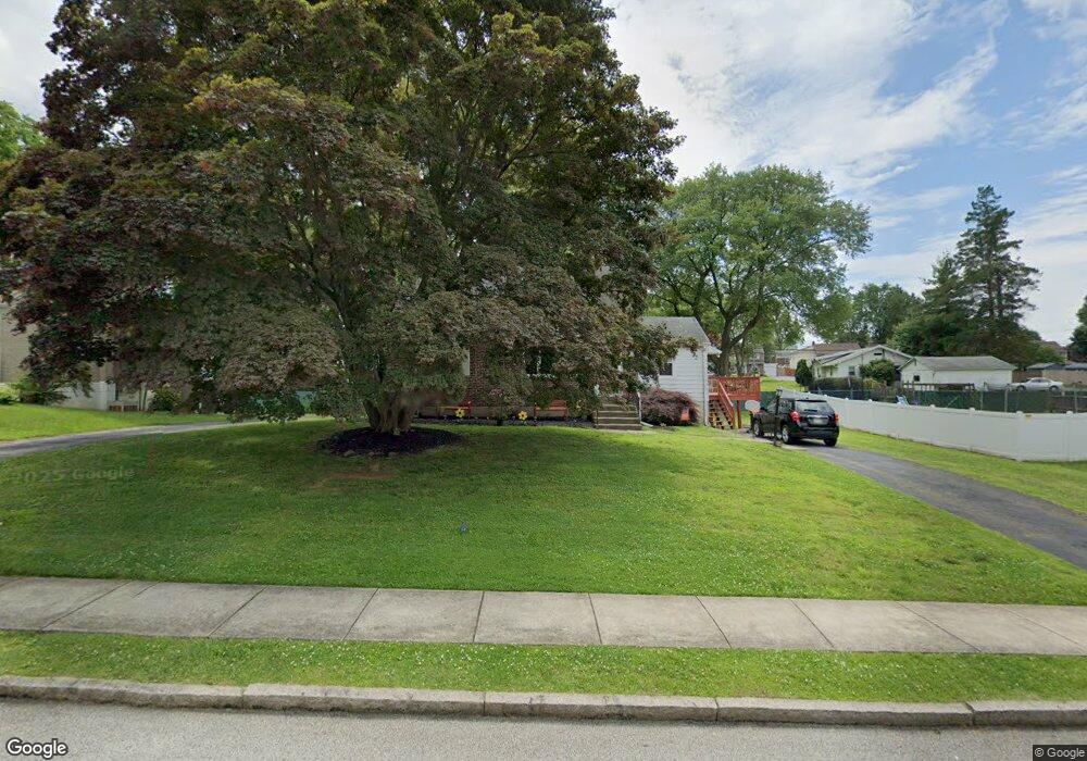
312 Kent Rd Springfield, PA 19064
Estimated Value: $456,000 - $509,000
4
Beds
2
Baths
1,552
Sq Ft
$311/Sq Ft
Est. Value
About This Home
This home is located at 312 Kent Rd, Springfield, PA 19064 and is currently estimated at $482,345, approximately $310 per square foot. 312 Kent Rd is a home located in Delaware County with nearby schools including Springfield High School, Holy Cross School, and St Francis Of Assisi School.
Ownership History
Date
Name
Owned For
Owner Type
Purchase Details
Closed on
Aug 17, 1998
Sold by
Demuth Donald R and Demuth Cynthia L
Bought by
Agovino John and Agovino Catherine A
Current Estimated Value
Home Financials for this Owner
Home Financials are based on the most recent Mortgage that was taken out on this home.
Original Mortgage
$131,200
Outstanding Balance
$27,323
Interest Rate
6.9%
Estimated Equity
$455,022
Create a Home Valuation Report for This Property
The Home Valuation Report is an in-depth analysis detailing your home's value as well as a comparison with similar homes in the area
Home Values in the Area
Average Home Value in this Area
Purchase History
| Date | Buyer | Sale Price | Title Company |
|---|---|---|---|
| Agovino John | $164,000 | Commonwealth Land Title Ins |
Source: Public Records
Mortgage History
| Date | Status | Borrower | Loan Amount |
|---|---|---|---|
| Open | Agovino John | $131,200 |
Source: Public Records
Tax History
| Year | Tax Paid | Tax Assessment Tax Assessment Total Assessment is a certain percentage of the fair market value that is determined by local assessors to be the total taxable value of land and additions on the property. | Land | Improvement |
|---|---|---|---|---|
| 2025 | $7,859 | $279,610 | $103,040 | $176,570 |
| 2024 | $7,859 | $279,610 | $103,040 | $176,570 |
| 2023 | $7,567 | $279,610 | $103,040 | $176,570 |
| 2022 | $7,404 | $279,610 | $103,040 | $176,570 |
| 2021 | $11,466 | $279,610 | $103,040 | $176,570 |
| 2020 | $6,816 | $150,410 | $49,540 | $100,870 |
| 2019 | $6,656 | $150,410 | $49,540 | $100,870 |
| 2018 | $6,560 | $150,410 | $0 | $0 |
| 2017 | $6,409 | $150,410 | $0 | $0 |
| 2016 | $825 | $150,410 | $0 | $0 |
| 2015 | $825 | $150,410 | $0 | $0 |
| 2014 | $825 | $150,410 | $0 | $0 |
Source: Public Records
Map
Nearby Homes
- 354 E Springfield Rd
- 173 Rambling Way
- 29 School Ln
- 465 Hawarden Rd
- 238 Alliston Rd
- 472 Larchwood Rd
- 225 Lynbrooke Rd
- 226 Lynbrooke Rd
- 120 W Springfield Rd
- 514 Springview Ln
- 624 E Springfield Rd
- 225 N Bishop Ave
- 207 N Bishop Ave
- 107 N Bishop Ave
- 838 West Ave
- 616 Hey Ln
- 401 N Sycamore Ave
- 238 Westpark Ln
- 343 Westpark Ln
- 720 Evans Rd
Your Personal Tour Guide
Ask me questions while you tour the home.