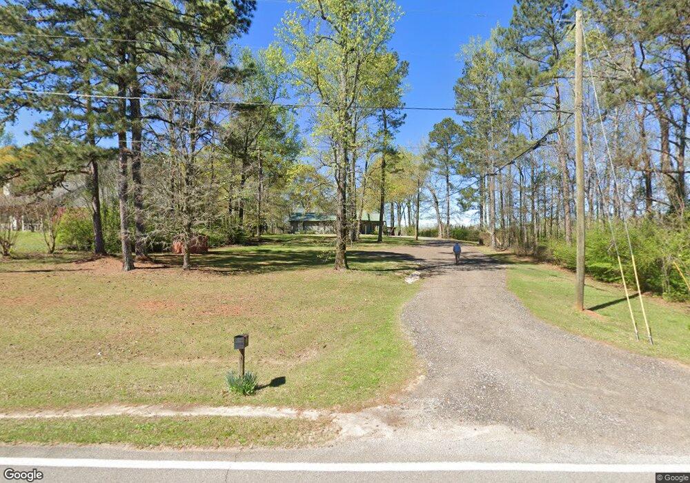
312 Kimbrough Rd Lagrange, GA 30240
Estimated Value: $232,780 - $303,000
3
Beds
2
Baths
1,788
Sq Ft
$156/Sq Ft
Est. Value
About This Home
This home is located at 312 Kimbrough Rd, Lagrange, GA 30240 and is currently estimated at $279,695, approximately $156 per square foot. 312 Kimbrough Rd is a home located in Troup County with nearby schools including Long Cane Elementary School, Berta Weathersbee Elementary School, and Whitesville Road Elementary School.
Ownership History
Date
Name
Owned For
Owner Type
Purchase Details
Closed on
Jun 27, 1994
Sold by
Bobby Longshore
Bought by
Eslinger Frank and Eslinger Rhonda
Current Estimated Value
Purchase Details
Closed on
Feb 2, 1987
Sold by
Laney Judy D
Bought by
Bobby Longshore
Purchase Details
Closed on
Dec 9, 1983
Sold by
Dan-Ric Inc
Bought by
Laney Judy D
Purchase Details
Closed on
Dec 2, 1983
Sold by
Dan-Ric Inc?
Bought by
Dan-Ric Inc
Purchase Details
Closed on
Oct 28, 1983
Sold by
Bishop A L
Bought by
Dan-Ric Inc?
Purchase Details
Closed on
Jan 1, 1982
Bought by
Bishop A L
Create a Home Valuation Report for This Property
The Home Valuation Report is an in-depth analysis detailing your home's value as well as a comparison with similar homes in the area
Home Values in the Area
Average Home Value in this Area
Purchase History
| Date | Buyer | Sale Price | Title Company |
|---|---|---|---|
| Eslinger Frank | $50,500 | -- | |
| Bobby Longshore | $57,000 | -- | |
| Laney Judy D | $48,000 | -- | |
| Dan-Ric Inc | -- | -- | |
| Dan-Ric Inc? | $3,500 | -- | |
| Bishop A L | -- | -- |
Source: Public Records
Tax History Compared to Growth
Tax History
| Year | Tax Paid | Tax Assessment Tax Assessment Total Assessment is a certain percentage of the fair market value that is determined by local assessors to be the total taxable value of land and additions on the property. | Land | Improvement |
|---|---|---|---|---|
| 2024 | $1,732 | $65,496 | $5,560 | $59,936 |
| 2023 | $1,183 | $63,256 | $5,560 | $57,696 |
| 2022 | $1,585 | $58,776 | $5,560 | $53,216 |
| 2021 | $1,649 | $56,680 | $4,840 | $51,840 |
| 2020 | $1,649 | $56,680 | $4,840 | $51,840 |
| 2019 | $1,549 | $53,340 | $4,000 | $49,340 |
| 2018 | $1,474 | $48,872 | $4,000 | $44,872 |
| 2017 | $1,414 | $48,872 | $4,000 | $44,872 |
Source: Public Records
Map
Nearby Homes
- 102 Franklin Place
- 118 Woodstream Trail
- 119 Plymouth Dr
- 101 Ivy Springs Dr
- 108 Hidden Springs Dr
- 640 Hudson Rd
- 474 Newton Rd
- 266 Glass Bridge Rd
- 40 River Point Dr
- 104 Landings Way
- 106 Landings Way
- 102 Landings Way
- 114 Riverbluff Dr
- 101 Riverbluff Dr
- 109 Riverbluff Dr
- 201 Lakeview Ct
- 103 Hawthorne Cir
- 110 Hawthorne Cir
- 394 Ferrell Tatum Rd
- 102 Foxdale Dr
- 324 Kimbrough Rd
- 338 Kimbrough Rd
- 348 Kimbrough Rd
- 358 Kimbrough Rd
- 380 Kimbrough Rd
- 392 Kimbrough Rd
- 370 Kimbrough Rd
- 406 Kimbrough Rd
- 416 Kimbrough Rd
- 434 Kimbrough Rd
- 440 Kimbrough Rd
- 448 Kimbrough Rd
- 462 Kimbrough Rd
- 833 Glass Bridge Rd
- 496 Kimbrough Rd
- 506 Kimbrough Rd
- 518 Kimbrough Rd
- 83 Kimbrough Rd
- 67 Kimbrough Rd
- 1021 Glass Bridge Rd