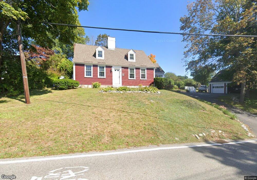
312 King St Cohasset, MA 02025
Estimated Value: $1,015,000 - $1,368,000
6
Beds
4
Baths
2,245
Sq Ft
$513/Sq Ft
Est. Value
About This Home
This home is located at 312 King St, Cohasset, MA 02025 and is currently estimated at $1,152,480, approximately $513 per square foot. 312 King St is a home located in Norfolk County with nearby schools including Joseph Osgood School, Deer Hill School, and Cohasset Middle School.
Ownership History
Date
Name
Owned For
Owner Type
Purchase Details
Closed on
Jun 16, 2011
Sold by
Cisneros Lee
Bought by
Cisneros Ft and Cisneros Lee
Current Estimated Value
Purchase Details
Closed on
Jun 2, 2010
Sold by
Cisneros Lee
Bought by
Cisneros Ft and Cisneros Kenneth R
Purchase Details
Closed on
Oct 16, 1981
Bought by
Cisneros Ft
Create a Home Valuation Report for This Property
The Home Valuation Report is an in-depth analysis detailing your home's value as well as a comparison with similar homes in the area
Home Values in the Area
Average Home Value in this Area
Purchase History
| Date | Buyer | Sale Price | Title Company |
|---|---|---|---|
| Cisneros Ft | -- | -- | |
| Cisneros Ft | -- | -- | |
| Cisneros Ft | -- | -- |
Source: Public Records
Mortgage History
| Date | Status | Borrower | Loan Amount |
|---|---|---|---|
| Open | Cisneros Ft | $45,000 | |
| Previous Owner | Cisneros Ft | $102,000 | |
| Previous Owner | Cisneros Ft | $10,000 |
Source: Public Records
Tax History Compared to Growth
Tax History
| Year | Tax Paid | Tax Assessment Tax Assessment Total Assessment is a certain percentage of the fair market value that is determined by local assessors to be the total taxable value of land and additions on the property. | Land | Improvement |
|---|---|---|---|---|
| 2025 | $10,394 | $897,600 | $531,400 | $366,200 |
| 2024 | $9,640 | $792,100 | $425,100 | $367,000 |
| 2023 | $9,223 | $781,600 | $425,000 | $356,600 |
| 2022 | $8,008 | $637,600 | $315,000 | $322,600 |
| 2021 | $7,909 | $606,500 | $315,000 | $291,500 |
| 2020 | $7,866 | $606,500 | $315,000 | $291,500 |
| 2019 | $7,824 | $606,500 | $315,000 | $291,500 |
| 2018 | $7,757 | $606,500 | $315,000 | $291,500 |
| 2017 | $6,949 | $532,100 | $270,800 | $261,300 |
| 2016 | $6,853 | $532,100 | $270,800 | $261,300 |
| 2015 | $6,763 | $532,100 | $270,800 | $261,300 |
| 2014 | $6,663 | $531,300 | $270,800 | $260,500 |
Source: Public Records
Map
Nearby Homes
- 31 Chittenden Ln Unit 31
- 78 Old Pasture Rd
- 46 Pond St
- 119 Pleasant St
- 137 Fairoaks Ln
- 73 Pond St
- 100 Pond St Unit 10
- 26 Ash St
- 40 Pond St
- 15 Cushing Rd
- 296 N Main St
- 25 Ripley Rd
- 89 Ripley Rd
- 146 N Main St Unit 146
- 99 Doane St
- 40 Brewster Rd
- 212 S Main St
- 128 Elm St Unit 211
- 309 S Main St
- 29 Heather Dr
- 300 King St
- 308 King St Unit 310
- 309 King St
- 302 King St
- 318 King St
- 298 King St
- 304 King St
- 330 King St
- 326 King St
- 306 King St
- 293 King St
- 288 King St
- 18 Hugh Strain Rd
- 15 Hugh Strain Rd
- 12 Hugh Strain Rd
- 283 King St
- 511 Chief Justice Cushing Hwy
- 505 Chief Justice Cushing Hwy Unit 507
- 505 Chief Justice Cushing Hwy
- 281 King St