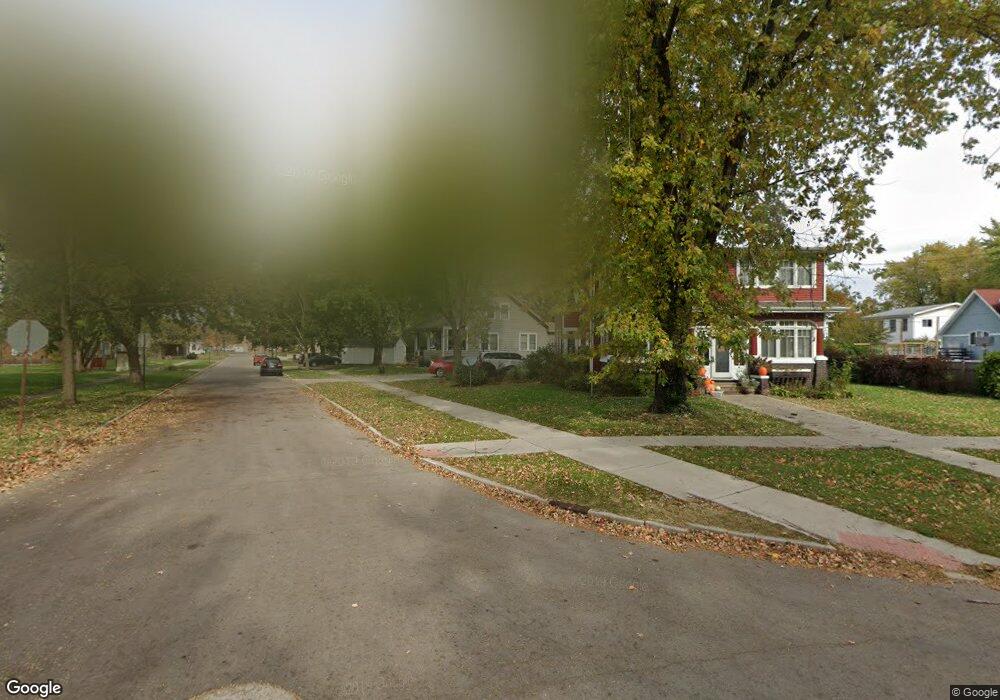
312 Leland St Ottawa, IL 61350
Estimated Value: $192,000 - $215,000
3
Beds
2
Baths
1,607
Sq Ft
$125/Sq Ft
Est. Value
About This Home
This home is located at 312 Leland St, Ottawa, IL 61350 and is currently estimated at $200,975, approximately $125 per square foot. 312 Leland St is a home located in LaSalle County with nearby schools including Ottawa Township High School, Marquette Academy, and Marquette Elementary School.
Ownership History
Date
Name
Owned For
Owner Type
Purchase Details
Closed on
May 14, 2007
Sold by
Chaney Genevieve
Bought by
Thompson Jarod M
Current Estimated Value
Home Financials for this Owner
Home Financials are based on the most recent Mortgage that was taken out on this home.
Original Mortgage
$133,000
Outstanding Balance
$81,076
Interest Rate
6.21%
Mortgage Type
New Conventional
Estimated Equity
$119,899
Create a Home Valuation Report for This Property
The Home Valuation Report is an in-depth analysis detailing your home's value as well as a comparison with similar homes in the area
Home Values in the Area
Average Home Value in this Area
Purchase History
| Date | Buyer | Sale Price | Title Company |
|---|---|---|---|
| Thompson Jarod M | $133,000 | None Available |
Source: Public Records
Mortgage History
| Date | Status | Borrower | Loan Amount |
|---|---|---|---|
| Open | Thompson Jarod M | $133,000 |
Source: Public Records
Tax History Compared to Growth
Tax History
| Year | Tax Paid | Tax Assessment Tax Assessment Total Assessment is a certain percentage of the fair market value that is determined by local assessors to be the total taxable value of land and additions on the property. | Land | Improvement |
|---|---|---|---|---|
| 2024 | $4,673 | $51,372 | $5,394 | $45,978 |
| 2023 | $4,211 | $45,979 | $4,828 | $41,151 |
| 2022 | $3,815 | $41,731 | $7,319 | $34,412 |
| 2021 | $3,560 | $39,114 | $6,860 | $32,254 |
| 2020 | $3,333 | $37,156 | $6,517 | $30,639 |
| 2019 | $3,405 | $36,778 | $6,451 | $30,327 |
| 2018 | $3,304 | $35,895 | $6,296 | $29,599 |
| 2017 | $3,171 | $34,795 | $6,103 | $28,692 |
| 2016 | $3,017 | $33,303 | $5,841 | $27,462 |
| 2015 | $2,838 | $31,769 | $5,572 | $26,197 |
| 2012 | -- | $34,731 | $6,092 | $28,639 |
Source: Public Records
Map
Nearby Homes
- 1201-1217 Illinois Ave
- 1102 Illinois Ave
- 503 Taylor St
- 1213 W Main St
- 105 Leland Ln
- 618 Harden St
- 152 Riverview Dr
- 706 Illinois Ave
- 1322 W Madison St
- 718 Sycamore St
- 718 W Jackson St
- 1446 Erie St
- 1625 W Main St
- 822 W Lafayette St
- 1521 Birchlawn Place
- 1331 W Washington St
- VL Boyce Memorial Dr
- 1314 W Washington St
- 1126 Sanger St
- 915 W Superior St
- 1104 Ottawa Ave
- 1107 Illinois Ave
- 1101 Illinois Ave
- 1014 Ottawa Ave
- 1019 Illinois Ave
- 1015 Illinois Ave
- 1200 Ottawa Ave
- 1011 Illinois Ave
- 1002 Ottawa Ave
- 1025 Ottawa Ave
- 1104 Illinois Ave
- 323 Taylor St
- 1224 Ottawa Ave
- 1110 Illinois Ave
- 1019 Ottawa Ave
- 1201 Ottawa Ave
- 1012 Illinois Ave
- 1018 Illinois Ave
- 1015 Ottawa Ave
- 1225 Illinois Ave