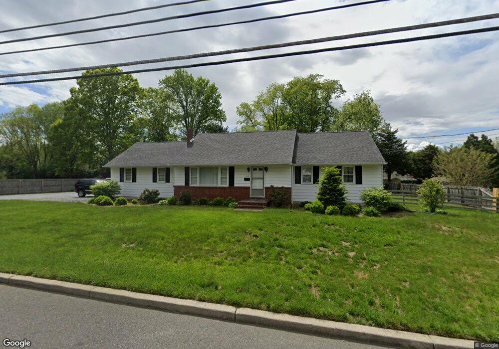
312 Main St Mantua, NJ 08051
Mantua Township NeighborhoodEstimated Value: $268,000 - $322,000
3
Beds
2
Baths
1,252
Sq Ft
$240/Sq Ft
Est. Value
About This Home
This home is located at 312 Main St, Mantua, NJ 08051 and is currently estimated at $300,231, approximately $239 per square foot. 312 Main St is a home located in Gloucester County with nearby schools including Centre City School, Clearview Regional Middle School, and Clearview Regional High School.
Ownership History
Date
Name
Owned For
Owner Type
Purchase Details
Closed on
Jun 10, 2013
Sold by
Green Dennis and Green Genevieve
Bought by
Green Dennis and Green Geneviee
Current Estimated Value
Home Financials for this Owner
Home Financials are based on the most recent Mortgage that was taken out on this home.
Original Mortgage
$137,600
Outstanding Balance
$98,315
Interest Rate
3.59%
Mortgage Type
New Conventional
Estimated Equity
$201,916
Purchase Details
Closed on
Jun 17, 2010
Sold by
Goldy Barbara J and Estate Of William H Goldy Sr
Bought by
Green Dennis and Wurst Genevieve
Home Financials for this Owner
Home Financials are based on the most recent Mortgage that was taken out on this home.
Original Mortgage
$134,970
Interest Rate
5.12%
Mortgage Type
FHA
Create a Home Valuation Report for This Property
The Home Valuation Report is an in-depth analysis detailing your home's value as well as a comparison with similar homes in the area
Home Values in the Area
Average Home Value in this Area
Purchase History
| Date | Buyer | Sale Price | Title Company |
|---|---|---|---|
| Green Dennis | -- | None Available | |
| Green Dennis | $160,000 | None Available |
Source: Public Records
Mortgage History
| Date | Status | Borrower | Loan Amount |
|---|---|---|---|
| Open | Green Dennis | $137,600 | |
| Previous Owner | Green Dennis | $134,970 |
Source: Public Records
Tax History Compared to Growth
Tax History
| Year | Tax Paid | Tax Assessment Tax Assessment Total Assessment is a certain percentage of the fair market value that is determined by local assessors to be the total taxable value of land and additions on the property. | Land | Improvement |
|---|---|---|---|---|
| 2025 | $5,467 | $212,300 | $62,600 | $149,700 |
| 2024 | $5,409 | $212,300 | $62,600 | $149,700 |
| 2023 | $5,409 | $212,300 | $62,600 | $149,700 |
| 2022 | $5,111 | $146,100 | $46,600 | $99,500 |
| 2021 | $5,149 | $146,100 | $46,600 | $99,500 |
| 2020 | $5,108 | $146,100 | $46,600 | $99,500 |
| 2019 | $5,021 | $146,100 | $46,600 | $99,500 |
| 2018 | $4,950 | $146,100 | $46,600 | $99,500 |
| 2017 | $4,875 | $146,100 | $46,600 | $99,500 |
| 2016 | $4,820 | $146,100 | $46,600 | $99,500 |
| 2015 | $4,702 | $146,100 | $46,600 | $99,500 |
| 2014 | $4,544 | $146,100 | $46,600 | $99,500 |
Source: Public Records
Map
Nearby Homes
- 8 Barry Dr
- 325 Bridgeton Pike
- 119 Monroe Ave
- 1215 Tristram Cir
- 1134 Tristram Cir Unit 4
- 1145 Tristram Cir
- 1147 Tristram Cir Unit 1147
- 1433 Tristram Cir
- 47 New Jersey Ave
- 748 Dartmouth Dr
- 505 W Mantua Ave
- 111 Cove Rd
- 125 Ivy Ln
- 261 Tony Cir
- 204 W Landing Rd
- 26 Woodstream Ct
- 485 Harrison Ave
- 735 Glenside Dr
- 41 Woodbrook Dr Unit C041
- 75 Hickory Ave
- 304 Main St
- 193 Carriage Hill Cir
- 3 Carriage Hill Dr
- 292 Elm Ave
- 311 Main St
- 195 Carriage Hill Cir
- 303 Main St
- 5 Carriage Hill Dr
- 327 Main St
- 2 Carriage Hill Dr
- 333 Main St
- 338 Main St
- 282 Elm Ave
- 267 Mccarthy Ave
- 197 Carriage Hill Cir
- 285 Elm Ave
- 160 Victoria Ave
- 339 Main St
- 276 Elm Ave
- 4 Carriage Hill Dr