312 Main St Rutland, MA 01543
Estimated Value: $569,000
3
Beds
2
Baths
1,657
Sq Ft
$343/Sq Ft
Est. Value
About This Home
This home is located at 312 Main St, Rutland, MA 01543 and is currently estimated at $569,000, approximately $343 per square foot. 312 Main St is a home located in Worcester County with nearby schools including Wachusett Regional High School.
Create a Home Valuation Report for This Property
The Home Valuation Report is an in-depth analysis detailing your home's value as well as a comparison with similar homes in the area
Home Values in the Area
Average Home Value in this Area
Tax History Compared to Growth
Tax History
| Year | Tax Paid | Tax Assessment Tax Assessment Total Assessment is a certain percentage of the fair market value that is determined by local assessors to be the total taxable value of land and additions on the property. | Land | Improvement |
|---|---|---|---|---|
| 2025 | $926 | $65,000 | $5,800 | $59,200 |
| 2024 | $964 | $65,000 | $5,600 | $59,400 |
| 2023 | $892 | $65,000 | $5,600 | $59,400 |
| 2022 | $1,026 | $65,000 | $5,500 | $59,500 |
| 2021 | $1,086 | $65,000 | $5,500 | $59,500 |
| 2020 | $1,145 | $65,000 | $0 | $0 |
| 2019 | $1,163 | $65,000 | $65,000 | $0 |
| 2018 | $1,178 | $65,000 | $65,000 | $0 |
Source: Public Records
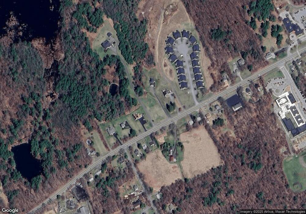
Map
Nearby Homes
- 10 Soucy Dr
- Lot 24R Quail Run
- Lot 29 Quail Run
- Lot 27A Quail Run
- 4 Fidelity Dr Unit 2
- 6 Fidelity Dr Unit 3
- 12 Fidelity Dr Unit 6
- 10 Fidelity Dr Unit 5
- 28 Forest Hill Dr
- 132 Fidelity Dr Unit 61
- 32 Pommogussett Rd Unit 1
- 47 Woodside Ave
- 5 Miles Rd
- 51 Woodside Ave
- 6 Lewis St
- 12 Lewis St
- 11 Lewis St
- 21 Lewis St
- 27 Lewis St
- 55 Pommogussett Rd