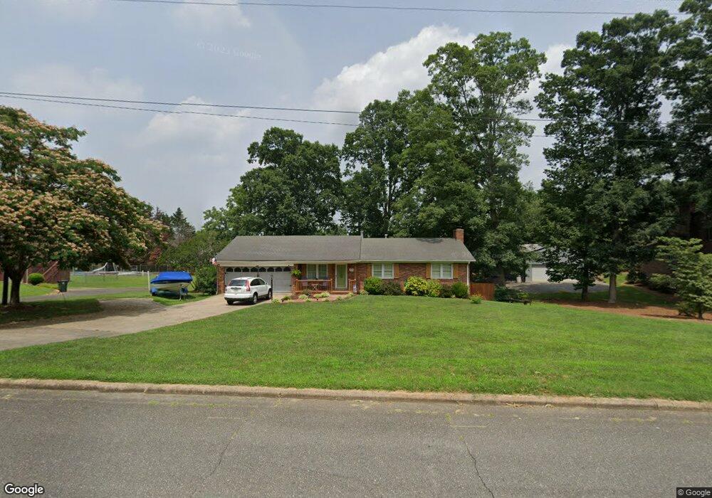
312 Maner Rd Kings Mountain, NC 28086
Estimated Value: $377,000 - $490,000
--
Bed
--
Bath
2,901
Sq Ft
$142/Sq Ft
Est. Value
About This Home
This home is located at 312 Maner Rd, Kings Mountain, NC 28086 and is currently estimated at $411,098, approximately $141 per square foot. 312 Maner Rd is a home located in Cleveland County with nearby schools including West Elementary School, Kings Mountain Middle, and Kings Mountain Intermediate School.
Ownership History
Date
Name
Owned For
Owner Type
Purchase Details
Closed on
May 23, 2011
Sold by
Greene Charles D and Greene Sarah A
Bought by
Mcneill Jeffrey B and Mcneill Karen G
Current Estimated Value
Home Financials for this Owner
Home Financials are based on the most recent Mortgage that was taken out on this home.
Original Mortgage
$160,329
Outstanding Balance
$108,766
Interest Rate
4.37%
Mortgage Type
FHA
Estimated Equity
$302,332
Purchase Details
Closed on
Aug 29, 2006
Sold by
Montgonery Wanda B
Bought by
Greens Charles D and Greens Sarah A
Create a Home Valuation Report for This Property
The Home Valuation Report is an in-depth analysis detailing your home's value as well as a comparison with similar homes in the area
Home Values in the Area
Average Home Value in this Area
Purchase History
| Date | Buyer | Sale Price | Title Company |
|---|---|---|---|
| Mcneill Jeffrey B | $164,500 | None Available | |
| Greens Charles D | $177,000 | None Available |
Source: Public Records
Mortgage History
| Date | Status | Borrower | Loan Amount |
|---|---|---|---|
| Open | Mcneill Jeffrey B | $160,329 |
Source: Public Records
Tax History Compared to Growth
Tax History
| Year | Tax Paid | Tax Assessment Tax Assessment Total Assessment is a certain percentage of the fair market value that is determined by local assessors to be the total taxable value of land and additions on the property. | Land | Improvement |
|---|---|---|---|---|
| 2025 | $3,405 | $332,218 | $27,000 | $305,218 |
| 2024 | $2,469 | $209,353 | $21,600 | $187,753 |
| 2023 | $2,457 | $209,353 | $21,600 | $187,753 |
| 2022 | $2,353 | $209,353 | $21,600 | $187,753 |
| 2021 | $2,365 | $209,353 | $21,600 | $187,753 |
| 2020 | $1,894 | $162,808 | $15,120 | $147,688 |
| 2019 | $1,894 | $162,808 | $15,120 | $147,688 |
| 2018 | $1,893 | $162,808 | $15,120 | $147,688 |
| 2017 | $1,884 | $162,808 | $15,120 | $147,688 |
| 2016 | $1,891 | $162,808 | $15,120 | $147,688 |
| 2015 | $1,724 | $152,259 | $12,420 | $139,839 |
| 2014 | $1,724 | $152,259 | $12,420 | $139,839 |
Source: Public Records
Map
Nearby Homes
- 112 Fulton Dr
- 804 Lee St
- 430 Fulton Dr
- 417 Phifer Rd
- 0 Southridge Dr Unit CAR4298120
- 442 Phifer Rd
- 245 Paige Rd
- 230 Paige Rd
- 227 Paige Rd
- 218 Paige Rd
- 212 Paige Rd
- 811 W Gold St Unit 26
- 149 Parker Claire Ln
- 1301 Shelby Rd
- 123 Parker Claire Ln
- 219 Parker Claire Ln
- Belhaven Plan at Brinkley Ridge
- Freeport Plan at Brinkley Ridge
- Robie Plan at Brinkley Ridge
- Penwell Plan at Brinkley Ridge