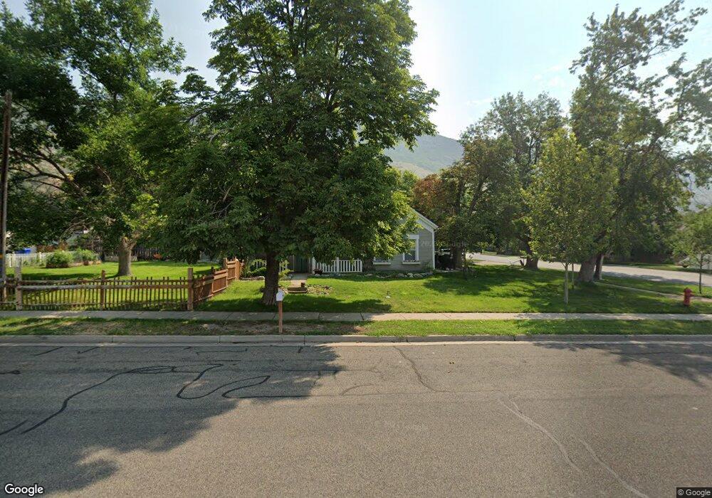
312 N 100 E Farmington, UT 84025
Estimated Value: $475,740 - $571,000
2
Beds
1
Bath
1,325
Sq Ft
$392/Sq Ft
Est. Value
About This Home
This home is located at 312 N 100 E, Farmington, UT 84025 and is currently estimated at $519,685, approximately $392 per square foot. 312 N 100 E is a home located in Davis County with nearby schools including Farmington Elementary School, Farmington High, and Farmington Junior High School.
Ownership History
Date
Name
Owned For
Owner Type
Purchase Details
Closed on
Nov 6, 2023
Sold by
Roberts Stephen B
Bought by
Roberts Farmington Llc
Current Estimated Value
Purchase Details
Closed on
Jun 17, 2014
Sold by
Grambow Todd A and Grambow Diane D
Bought by
Flint Investments Llc
Home Financials for this Owner
Home Financials are based on the most recent Mortgage that was taken out on this home.
Original Mortgage
$148,229
Interest Rate
4.16%
Mortgage Type
Purchase Money Mortgage
Purchase Details
Closed on
Nov 11, 1998
Sold by
Grambow Todd A
Bought by
Grambow Todd A and Grambow Diane D
Create a Home Valuation Report for This Property
The Home Valuation Report is an in-depth analysis detailing your home's value as well as a comparison with similar homes in the area
Home Values in the Area
Average Home Value in this Area
Purchase History
| Date | Buyer | Sale Price | Title Company |
|---|---|---|---|
| Roberts Farmington Llc | -- | None Listed On Document | |
| Flint Investments Llc | -- | Lincoln Title Insurance | |
| Grambow Todd A | -- | -- |
Source: Public Records
Mortgage History
| Date | Status | Borrower | Loan Amount |
|---|---|---|---|
| Previous Owner | Flint Investments Llc | $148,229 |
Source: Public Records
Tax History
| Year | Tax Paid | Tax Assessment Tax Assessment Total Assessment is a certain percentage of the fair market value that is determined by local assessors to be the total taxable value of land and additions on the property. | Land | Improvement |
|---|---|---|---|---|
| 2025 | $2,155 | $212,850 | $157,683 | $55,167 |
| 2024 | $2,068 | $206,799 | $157,682 | $49,117 |
| 2023 | $1,976 | $198,000 | $105,287 | $92,712 |
| 2022 | $1,993 | $375,000 | $192,755 | $182,245 |
| 2021 | $1,863 | $287,000 | $144,072 | $142,928 |
| 2020 | $1,678 | $252,000 | $120,091 | $131,909 |
| 2019 | $1,620 | $236,000 | $122,910 | $113,090 |
| 2018 | $1,498 | $215,000 | $121,672 | $93,328 |
| 2016 | $1,378 | $101,806 | $53,026 | $48,780 |
| 2015 | $1,197 | $83,931 | $53,026 | $30,905 |
| 2014 | $1,137 | $81,936 | $44,188 | $37,748 |
| 2013 | -- | $79,736 | $36,340 | $43,396 |
Source: Public Records
Map
Nearby Homes
- 139 E 400 N
- 170 N Main St
- 57 W Grove Creek Cir
- 292 N Flag Rock Dr
- 1460 W 550 N Unit 166
- 2 Grayson Way N Unit 11
- 662 N 100 E
- 106 S 100 E
- 334 E Cottrell Ln
- 13 Sunset Dr Unit 202
- 52 N 400 W
- 213 S 75 W
- 1886 W 950 N Unit 3
- 1888 W 950 N Unit 3
- 1884 W 950 N
- 915 N Evelyn St
- 101 S Horizon Dr Unit 204
- 68 S Horizon Dr Unit 207
- 110 S Horizon Dr
- 383 S 500 E
Your Personal Tour Guide
Ask me questions while you tour the home.