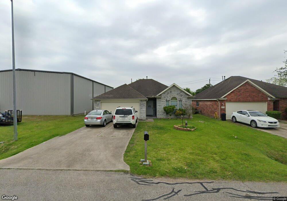
312 N 1st St La Porte, TX 77571
Estimated Value: $215,000 - $229,000
3
Beds
2
Baths
1,442
Sq Ft
$154/Sq Ft
Est. Value
About This Home
This home is located at 312 N 1st St, La Porte, TX 77571 and is currently estimated at $221,393, approximately $153 per square foot. 312 N 1st St is a home located in Harris County with nearby schools including La Porte Elementary School, La Porte Junior High School, and La Porte High School.
Ownership History
Date
Name
Owned For
Owner Type
Purchase Details
Closed on
Aug 30, 2005
Sold by
Bayou Housing Partners Inc
Bought by
Felder Shente B
Current Estimated Value
Home Financials for this Owner
Home Financials are based on the most recent Mortgage that was taken out on this home.
Original Mortgage
$73,500
Outstanding Balance
$39,224
Interest Rate
5.81%
Mortgage Type
Fannie Mae Freddie Mac
Estimated Equity
$182,169
Purchase Details
Closed on
Jul 13, 2004
Sold by
City Of La Porte
Bought by
Bayou Housing Partners Inc
Home Financials for this Owner
Home Financials are based on the most recent Mortgage that was taken out on this home.
Original Mortgage
$146,400
Interest Rate
6.26%
Mortgage Type
Purchase Money Mortgage
Create a Home Valuation Report for This Property
The Home Valuation Report is an in-depth analysis detailing your home's value as well as a comparison with similar homes in the area
Home Values in the Area
Average Home Value in this Area
Purchase History
| Date | Buyer | Sale Price | Title Company |
|---|---|---|---|
| Felder Shente B | -- | Texas American Title Company | |
| Bayou Housing Partners Inc | -- | -- |
Source: Public Records
Mortgage History
| Date | Status | Borrower | Loan Amount |
|---|---|---|---|
| Open | Felder Shente B | $73,500 | |
| Previous Owner | Bayou Housing Partners Inc | $146,400 |
Source: Public Records
Tax History Compared to Growth
Tax History
| Year | Tax Paid | Tax Assessment Tax Assessment Total Assessment is a certain percentage of the fair market value that is determined by local assessors to be the total taxable value of land and additions on the property. | Land | Improvement |
|---|---|---|---|---|
| 2025 | $4,580 | $203,696 | $50,000 | $153,696 |
| 2024 | $4,580 | $187,140 | $46,875 | $140,265 |
| 2023 | $4,580 | $187,182 | $46,875 | $140,307 |
| 2022 | $4,508 | $169,644 | $32,813 | $136,831 |
| 2021 | $4,304 | $158,204 | $29,688 | $128,516 |
| 2020 | $3,933 | $141,242 | $23,438 | $117,804 |
| 2019 | $4,048 | $139,364 | $21,875 | $117,489 |
| 2018 | $2,702 | $129,290 | $16,250 | $113,040 |
| 2017 | $3,677 | $124,750 | $18,750 | $106,000 |
| 2016 | $2,864 | $97,163 | $18,750 | $78,413 |
| 2015 | $2,897 | $97,163 | $15,625 | $81,538 |
| 2014 | $2,897 | $97,163 | $12,500 | $84,663 |
Source: Public Records
Map
Nearby Homes
- 0 N 1st Ave
- 1370 Mixander Way
- 525 N 1st St
- 0 Broadway Unit 47596766
- 123 S Virginia St
- 314 E Main St
- 418 Dr Martin Luther King jr Dr
- 131 S Virginia St
- 135 S Virginia St
- 114 Dr Martin Luther King jr Dr
- 626 N 1st St
- 000 N Broadway St
- TBD N Broadway St
- 514 N 6th St
- 216 San Jacinto St
- 602 E Main St
- 111 N 6th St
- 422 N 7th St
- 508 N 7th St
- 301 S Virginia St
- 318 N 1st St
- 306 N 1st St
- 308 N 1st St
- 300 S Broadway St
- 321 N 1st St
- 321 N 1st St
- 325 N 1st St
- 313 N Broadway St
- 327 N 1st St
- 301 N 1st St
- 331 N 1st St
- 000 N 1st St
- 000 N 1st Ave
- 219 N Broadway St
- 404 N 1st St
- 225 N 1st St
- 302 N 2nd St
- 0 N Broadway Unit 13688154
- 0 N Broadway Unit 27828233
- 0 N Broadway Unit 66253022