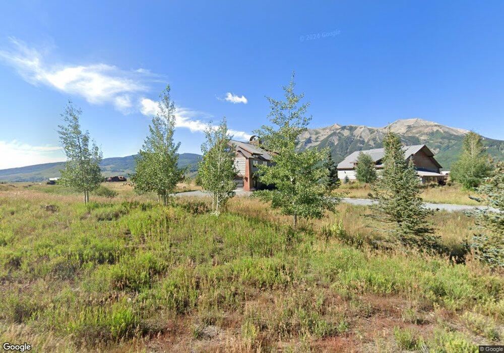
312 N Avion Rd Crested Butte, CO 81224
Estimated Value: $3,692,000 - $4,897,000
3
Beds
7
Baths
3,428
Sq Ft
$1,266/Sq Ft
Est. Value
About This Home
This home is located at 312 N Avion Rd, Crested Butte, CO 81224 and is currently estimated at $4,338,485, approximately $1,265 per square foot. 312 N Avion Rd is a home located in Gunnison County with nearby schools including Gunnison Elementary School, Crested Butte Community School, and Gunnison Middle School.
Ownership History
Date
Name
Owned For
Owner Type
Purchase Details
Closed on
Sep 30, 2024
Sold by
Truitt Daren
Bought by
Kyle David J and Dupree-Kyle Elizabeth T
Current Estimated Value
Home Financials for this Owner
Home Financials are based on the most recent Mortgage that was taken out on this home.
Original Mortgage
$3,000,000
Outstanding Balance
$2,960,741
Interest Rate
5.17%
Mortgage Type
New Conventional
Estimated Equity
$1,377,744
Purchase Details
Closed on
Jun 30, 2016
Sold by
Scantlin Barry D and Scantlin Karen C
Bought by
Truitt Daren
Purchase Details
Closed on
Jun 8, 2012
Sold by
Scantilin Scantlin Henry D
Bought by
Scantlin Henry D
Purchase Details
Closed on
Sep 24, 2011
Sold by
Raskey Robert V
Bought by
Scantlin Scantlin Henry D Henry D
Purchase Details
Closed on
Apr 13, 2007
Sold by
Brush Creek Airport Llc
Bought by
Raskey Robert V
Purchase Details
Closed on
Apr 10, 2007
Sold by
Brush Creek Airport Llc
Bought by
Raskey Robert V
Create a Home Valuation Report for This Property
The Home Valuation Report is an in-depth analysis detailing your home's value as well as a comparison with similar homes in the area
Home Values in the Area
Average Home Value in this Area
Purchase History
| Date | Buyer | Sale Price | Title Company |
|---|---|---|---|
| Kyle David J | $4,625,000 | Land Title | |
| Truitt Daren | $165,000 | None Available | |
| Scantlin Henry D | -- | None Available | |
| Scantlin Henry D | -- | None Available | |
| Scantlin Henry D | -- | None Available | |
| Scantlin Barry D | -- | None Available | |
| Scantlin Scantlin Henry D Henry D | $124,000 | None Available | |
| Raskey Robert V | $350,000 | None Available | |
| Raskey Robert V | $350,000 | None Available |
Source: Public Records
Mortgage History
| Date | Status | Borrower | Loan Amount |
|---|---|---|---|
| Open | Kyle David J | $3,000,000 |
Source: Public Records
Tax History Compared to Growth
Tax History
| Year | Tax Paid | Tax Assessment Tax Assessment Total Assessment is a certain percentage of the fair market value that is determined by local assessors to be the total taxable value of land and additions on the property. | Land | Improvement |
|---|---|---|---|---|
| 2024 | $12,202 | $199,510 | $50,040 | $149,470 |
| 2023 | $12,081 | $195,820 | $49,110 | $146,710 |
| 2022 | $7,370 | $105,500 | $11,180 | $94,320 |
| 2021 | $3,160 | $52,270 | $11,500 | $40,770 |
| 2020 | $2,962 | $49,510 | $10,120 | $39,390 |
| 2019 | $2,904 | $49,510 | $10,120 | $39,390 |
| 2018 | $1,436 | $47,850 | $47,850 | $0 |
| 2017 | $2,960 | $47,850 | $47,850 | $0 |
| 2016 | $2,094 | $35,960 | $35,960 | $0 |
| 2015 | $1,115 | $35,960 | $35,960 | $0 |
| 2014 | $1,115 | $36,760 | $36,760 | $0 |
Source: Public Records
Map
Nearby Homes
- 14 Buckhorn Way
- 527 S Avion Dr
- 103 Buckhorn Way
- 204 N Avion Dr
- 333 S Avion Dr
- 379 S Avion Dr
- 64 Buckhorn Way
- 42 Earhart Ln
- 679 S Avion Dr
- 509 N Avion Dr
- 49 White Stallion Cir
- 554 White Stallion Cir
- 84 Chestnut Ln
- 97 Chestnut Ln
- 255 S Avion Dr
- 441 White Stallion Cir
- 528 White Stallion Cir
- 77 Coyote Ridge Rd
- 35 Appaloosa Ln
- 163 N Avion Dr
- 312 N Avion Dr
- N Avion Dr
- N Avion Dr Unit Lot 10, Buckhorn
- N Avion Dr Unit Lot 74 Avion Club at
- 292 N Avion Dr
- 324 N Avion Dr Unit Lot 74 Avion Club at
- 15 Buckhorn Way
- 15 Buckhorn Way
- 321 N Avion Dr
- 329 N Avion Dr
- 33 Buckhorn Way
- 368 N Avion Dr
- 427 S Avion Dr
- 335 N Avion Dr
- 53 Buckhorn Way
- 551 S Avion Dr
- 252 N Avion Dr Unit Lot 10, Buckhorn
- 252 N Avion Dr
- 69 Buckhorn Way
- 396 N Avion Dr