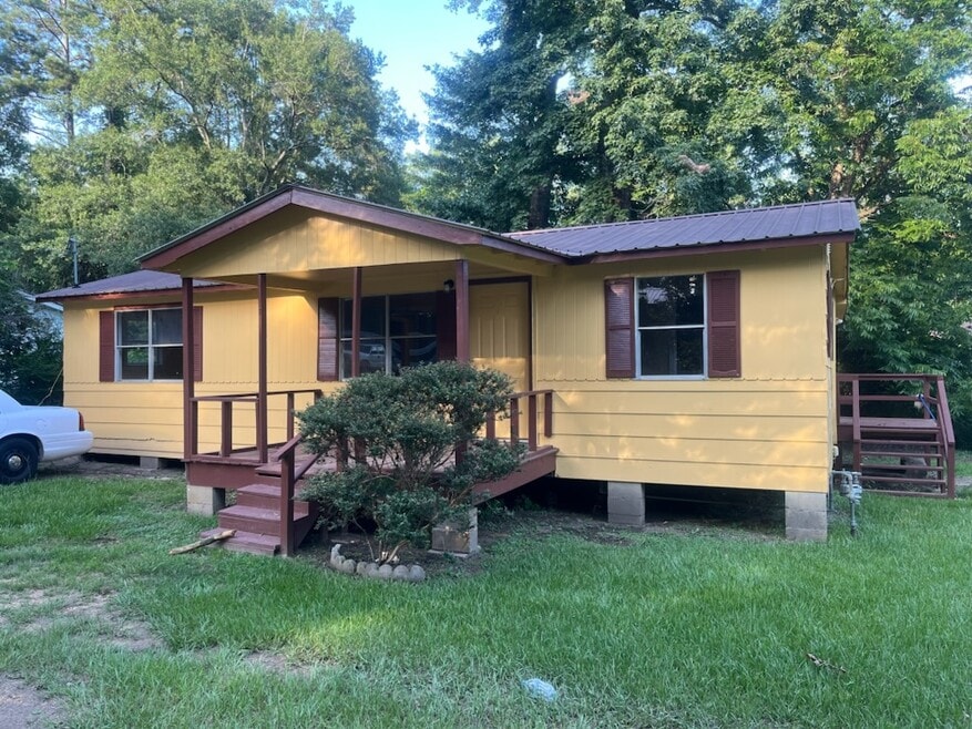

312 N Chestnut St McComb, MS 39648
3
Beds
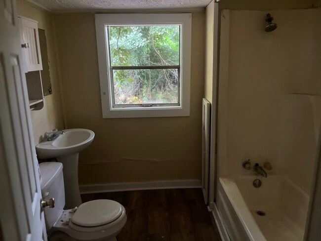
1.5
Baths
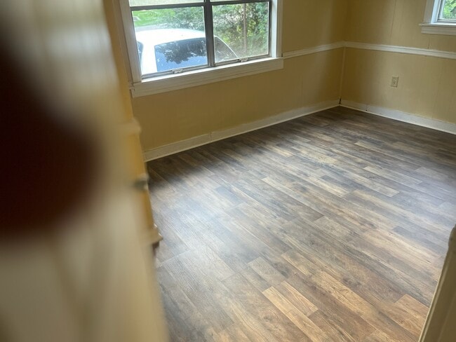
1,300
Sq Ft
0.72
Acres
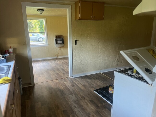
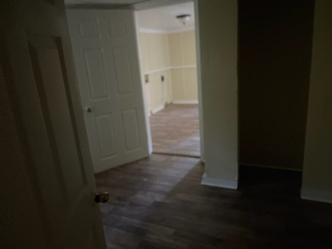
About This Home
Large Lot. Window Air Condition to be install on occupancy date. Owner will not provide a refrigerator.
Listing Provided By

Map
Nearby Homes
- 1002 Avenue F
- 1002 Avenue F None
- 133 N Chestnut St
- 133 N Live Oak St
- 1031 Pearl River Ave
- 143 N Myrtle St
- 1102 Pearl River Ave
- 1019 Pearl River Avenue Extension
- 415 N Magnolia St
- 1004 Van Norman Curve
- 1041 Van Norman Curve
- 1148 Morgantown Rd
- 505 S Magnolia St
- 0 N Front St
- 321 W New York Ave
- 0 Morgantown Rd Unit 4125975
- 0 Johnson Ave
- 200-208 5th Ave
- 2009 Summit Holmesville Rd
- 1002 Pershing St
- 1022 Pearl River Ave
- 420 Howe St
- 518 Virginia Ave
- 207 Jackson Ave Unit A
- 840 Marion Ave
- 1300 14th St
- 1328 Parklane Rd
- 1013 Bassett Dr Unit C
- 1056 Pecan Dr
- 2083 Martin Rd
- 1061 Campground Rd
- 2018 Stewart Ln
- 77 Z C Rushing Rd
- 36339 Louisiana 38
- 576 Halbert Heights Rd Unit C8
- 800 Magee Dr
- 416 N Seventh St Unit B
- 530 N Jackson St Unit A