Estimated Value: $250,692 - $317,000
3
Beds
1
Bath
1,860
Sq Ft
$152/Sq Ft
Est. Value
About This Home
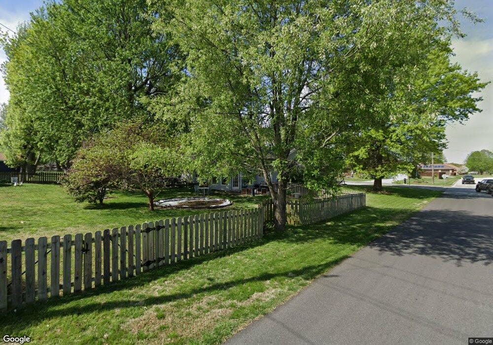
This home is located at 312 N Ellen St, Nixa, MO 65714 and is currently estimated at $282,923, approximately $152 per square foot. 312 N Ellen St is a home with nearby schools including Espy Elementary School, Nixa Junior High School, and Nicholas A. Inman Intermediate School.
Ownership History
Date
Name
Owned For
Owner Type
Purchase Details
Closed on
Jun 4, 2015
Sold by
Morgan James I
Bought by
Savage Michelle D
Current Estimated Value
Purchase Details
Closed on
Dec 14, 2006
Sold by
Pratt James F and Pratt Donna F
Bought by
Pratt James F and Pratt Donna F
Purchase Details
Closed on
Nov 10, 2005
Sold by
Vankleek Robert L
Bought by
Pratt James F
Home Financials for this Owner
Home Financials are based on the most recent Mortgage that was taken out on this home.
Original Mortgage
$78,850
Interest Rate
4.37%
Mortgage Type
Adjustable Rate Mortgage/ARM
Purchase Details
Closed on
Nov 3, 2005
Sold by
Vankleek James P and Vankleek Janie
Bought by
Vankleek Robert L
Home Financials for this Owner
Home Financials are based on the most recent Mortgage that was taken out on this home.
Original Mortgage
$78,850
Interest Rate
4.37%
Mortgage Type
Adjustable Rate Mortgage/ARM
Create a Home Valuation Report for This Property
The Home Valuation Report is an in-depth analysis detailing your home's value as well as a comparison with similar homes in the area
Home Values in the Area
Average Home Value in this Area
Purchase History
| Date | Buyer | Sale Price | Title Company |
|---|---|---|---|
| Savage Michelle D | -- | None Available | |
| Pratt James F | -- | None Available | |
| Pratt James F | -- | None Available | |
| Vankleek Robert L | -- | None Available |
Source: Public Records
Mortgage History
| Date | Status | Borrower | Loan Amount |
|---|---|---|---|
| Previous Owner | Pratt James F | $78,850 |
Source: Public Records
Tax History
| Year | Tax Paid | Tax Assessment Tax Assessment Total Assessment is a certain percentage of the fair market value that is determined by local assessors to be the total taxable value of land and additions on the property. | Land | Improvement |
|---|---|---|---|---|
| 2025 | $1,414 | $24,070 | -- | -- |
| 2024 | $1,414 | $22,690 | -- | -- |
| 2023 | $1,414 | $22,690 | $0 | $0 |
| 2022 | $1,357 | $21,740 | $0 | $0 |
| 2021 | $1,357 | $21,740 | $0 | $0 |
| 2020 | $1,234 | $18,870 | $0 | $0 |
| 2019 | $1,234 | $18,870 | $0 | $0 |
| 2018 | $1,150 | $18,870 | $0 | $0 |
| 2017 | $1,150 | $18,870 | $0 | $0 |
| 2016 | $945 | $15,750 | $0 | $0 |
| 2015 | $946 | $15,750 | $15,750 | $0 |
| 2014 | $919 | $15,680 | $0 | $0 |
| 2013 | $9 | $15,680 | $0 | $0 |
| 2011 | $9 | $31,360 | $0 | $0 |
Source: Public Records
Map
Nearby Homes
- 711 Robinwood Ln
- 805 W Briarwood Ln
- 000 (Tbd) Highway 160 (14 8 Acres) St
- 713 Morning Glory Dr
- 000 West St
- 717 N Milton Dr
- 403 S Bryant St
- Tbd U S 160
- 310 Great Plains St
- Sw Corner Highway 160 & St S
- 1334 W Mount Vernon St
- 108 W Walnut St
- 912 Wesley Ave
- 307 N Prospect St
- 704 W Savanna Ct
- 308 N Prospect St
- 107 Northview Rd
- 416 N Prospect St
- 424 S Southgate Dr
- 405 N Missouri Ave
Your Personal Tour Guide
Ask me questions while you tour the home.