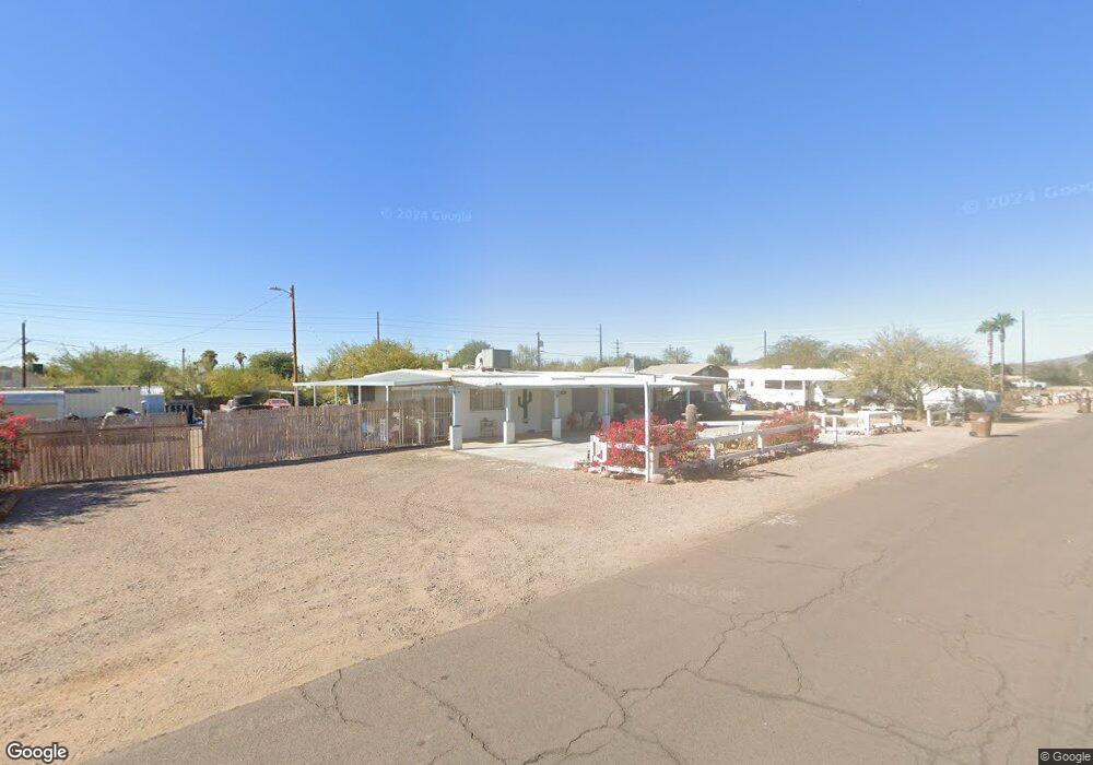
312 N Keith St Apache Junction, AZ 85120
Northeast Mesa NeighborhoodEstimated Value: $271,000 - $350,000
Studio
--
Bath
832
Sq Ft
$385/Sq Ft
Est. Value
About This Home
This home is located at 312 N Keith St, Apache Junction, AZ 85120 and is currently estimated at $320,226, approximately $384 per square foot. 312 N Keith St is a home with nearby schools including Sousa Elementary School, Franklin at Brimhall Elementary School, and Franklin West Elementary School.
Ownership History
Date
Name
Owned For
Owner Type
Purchase Details
Closed on
Jan 9, 2014
Sold by
Brown Edward M
Bought by
Brown Edward M and Johnson Beverley A
Current Estimated Value
Purchase Details
Closed on
Aug 16, 2010
Sold by
Johnson Beverly A and Johnson Beverley A
Bought by
Brown Edward M
Purchase Details
Closed on
Feb 4, 2000
Sold by
Southeast Church Of Christ Inc
Bought by
Johnson Beverly A and Brown Edward M
Home Financials for this Owner
Home Financials are based on the most recent Mortgage that was taken out on this home.
Original Mortgage
$72,500
Interest Rate
8.06%
Mortgage Type
Seller Take Back
Create a Home Valuation Report for This Property
The Home Valuation Report is an in-depth analysis detailing your home's value as well as a comparison with similar homes in the area
Home Values in the Area
Average Home Value in this Area
Purchase History
| Date | Buyer | Sale Price | Title Company |
|---|---|---|---|
| Brown Edward M | -- | None Available | |
| Brown Edward M | -- | None Available | |
| Johnson Beverly A | $72,500 | Transnation Title Insurance |
Source: Public Records
Mortgage History
| Date | Status | Borrower | Loan Amount |
|---|---|---|---|
| Previous Owner | Johnson Beverly A | $72,500 |
Source: Public Records
Tax History
| Year | Tax Paid | Tax Assessment Tax Assessment Total Assessment is a certain percentage of the fair market value that is determined by local assessors to be the total taxable value of land and additions on the property. | Land | Improvement |
|---|---|---|---|---|
| 2025 | $481 | $6,453 | -- | -- |
| 2024 | $492 | $6,146 | -- | -- |
| 2023 | $492 | $24,760 | $4,950 | $19,810 |
| 2022 | $479 | $17,450 | $3,490 | $13,960 |
| 2021 | $485 | $14,360 | $2,870 | $11,490 |
| 2020 | $481 | $12,220 | $2,440 | $9,780 |
| 2019 | $441 | $11,860 | $2,370 | $9,490 |
| 2018 | $282 | $7,120 | $1,420 | $5,700 |
| 2017 | $270 | $7,120 | $1,420 | $5,700 |
| 2016 | $271 | $7,120 | $1,420 | $5,700 |
Source: Public Records
Map
Nearby Homes
- 345 N Signal Butte Rd Unit 23
- 10813 E Boston St
- 535 N Bailey Cir
- 10620 E Caballero St
- 538 N 110th St
- 433 N 111th Place
- 10936 E Apache Trail Unit 121
- 11029 E Decatur St
- 11100 E Apache Trail Unit 37
- 11100 E Apache Trail
- 11100 E Apache Trail Unit 8
- 11100 E Apache Trail Unit 16
- 11100 E Apache Trail Unit 48
- 11201 E Jupiter Dr
- 11058 E Cholla Rd
- 10540 E Apache Trail Unit 15
- 10540 E Apache Trail Unit 6
- 10540 E Apache Trail Unit 91
- 10540 E Apache Trail Unit 93
- 10540 E Apache Trail Unit 127
- 322 N Keith St
- 302 N Keith St
- 326 N Keith St
- 10536 E Mercury Dr Unit 2
- 10824 E Mercury Dr
- 336 N Keith St
- 10812 E Mercury Dr
- 311 N Keith St
- 315 N Keith St
- 311 N Signal Butte Rd Unit 5
- 311 N Signal Butte Rd
- 315 N Signal Butte Rd
- 315 N Signal Butte Rd
- 321 N Keith St
- 325 N Keith St
- 331 N Signal Butte Rd
- 335 N Signal Butte Rd
- 10866 E Mercury Dr
- 342 N Keith St
Your Personal Tour Guide
Ask me questions while you tour the home.