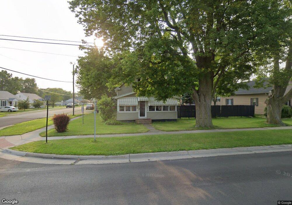
312 N Main St Walbridge, OH 43465
Estimated Value: $124,000 - $181,000
Studio
--
Bath
--
Sq Ft
6,752
Sq Ft
About This Home
This home is located at 312 N Main St, Walbridge, OH 43465 and is currently estimated at $152,500. 312 N Main St is a home located in Wood County with nearby schools including Lake Elementary School, Lake Middle School, and Lake High School.
Ownership History
Date
Name
Owned For
Owner Type
Purchase Details
Closed on
Feb 23, 2022
Sold by
Perales Nancy Lynn
Bought by
Durkee Teresa
Current Estimated Value
Home Financials for this Owner
Home Financials are based on the most recent Mortgage that was taken out on this home.
Original Mortgage
$167,200
Outstanding Balance
$154,352
Interest Rate
3.69%
Mortgage Type
Purchase Money Mortgage
Estimated Equity
-$1,852
Purchase Details
Closed on
Aug 18, 2006
Sold by
Meller Pamela A and Dauro Pamela A
Bought by
Dauro Michael J
Home Financials for this Owner
Home Financials are based on the most recent Mortgage that was taken out on this home.
Original Mortgage
$80,000
Interest Rate
6.78%
Mortgage Type
New Conventional
Purchase Details
Closed on
Feb 19, 1993
Sold by
Kelly James Bruce
Bought by
Dauro Michael J
Create a Home Valuation Report for This Property
The Home Valuation Report is an in-depth analysis detailing your home's value as well as a comparison with similar homes in the area
Home Values in the Area
Average Home Value in this Area
Purchase History
| Date | Buyer | Sale Price | Title Company |
|---|---|---|---|
| Durkee Teresa | $176,000 | None Listed On Document | |
| Dauro Michael J | -- | None Available | |
| Dauro Michael J | $45,000 | -- |
Source: Public Records
Mortgage History
| Date | Status | Borrower | Loan Amount |
|---|---|---|---|
| Open | Durkee Teresa | $167,200 | |
| Previous Owner | Dauro Michael J | $80,000 |
Source: Public Records
Tax History
| Year | Tax Paid | Tax Assessment Tax Assessment Total Assessment is a certain percentage of the fair market value that is determined by local assessors to be the total taxable value of land and additions on the property. | Land | Improvement |
|---|---|---|---|---|
| 2025 | $256 | $5,635 | $2,520 | $3,115 |
| 2024 | $255 | $5,635 | $2,520 | $3,115 |
| 2023 | $255 | $5,640 | $2,520 | $3,120 |
| 2021 | $310 | $5,850 | $2,520 | $3,330 |
| 2020 | $298 | $5,850 | $2,520 | $3,330 |
| 2019 | $290 | $5,250 | $2,520 | $2,730 |
| 2018 | $288 | $5,250 | $2,520 | $2,730 |
| 2017 | $290 | $5,250 | $2,520 | $2,730 |
| 2016 | $260 | $4,870 | $2,280 | $2,590 |
| 2015 | $269 | $4,870 | $2,280 | $2,590 |
| 2014 | $275 | $4,870 | $2,280 | $2,590 |
| 2013 | $313 | $5,390 | $2,520 | $2,870 |
Source: Public Records
Map
Nearby Homes
- 504 N Main St
- 100 W Union St
- 225 E Union St
- 30643 Drouillard Rd
- 238 S Bridge Rd
- 236 S Bridge Rd
- 224 S Bridge Rd
- 232 S Bridge Rd
- 241 S Bridge Rd
- 237 S Bridge Rd
- 1107 Lemoyne Rd
- 199 E Bridge Rd
- 3901 Plumey Rd
- 3517 Goodrich Ave
- 0 Williston Rd
- 2432 Rochester Place
- 230 Ritter Ave
- 115 W Bridge Rd
- 113 W Bridge Rd
- 111 W Bridge Rd
Your Personal Tour Guide
Ask me questions while you tour the home.