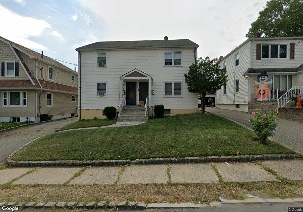
312 Passaic Ave Hasbrouck Heights, NJ 07604
Estimated Value: $710,000 - $808,000
2
Beds
1
Bath
2,400
Sq Ft
$312/Sq Ft
Est. Value
About This Home
This home is located at 312 Passaic Ave, Hasbrouck Heights, NJ 07604 and is currently estimated at $747,980, approximately $311 per square foot. 312 Passaic Ave is a home located in Bergen County with nearby schools including Hasbrouck Heights High School and Corpus Christi School.
Ownership History
Date
Name
Owned For
Owner Type
Purchase Details
Closed on
Sep 24, 2001
Sold by
Reyes Carmen P
Bought by
Haddad Joe and Haddad Violla
Current Estimated Value
Home Financials for this Owner
Home Financials are based on the most recent Mortgage that was taken out on this home.
Original Mortgage
$240,100
Outstanding Balance
$93,148
Interest Rate
6.92%
Estimated Equity
$654,832
Create a Home Valuation Report for This Property
The Home Valuation Report is an in-depth analysis detailing your home's value as well as a comparison with similar homes in the area
Home Values in the Area
Average Home Value in this Area
Purchase History
| Date | Buyer | Sale Price | Title Company |
|---|---|---|---|
| Haddad Joe | $343,000 | -- |
Source: Public Records
Mortgage History
| Date | Status | Borrower | Loan Amount |
|---|---|---|---|
| Open | Haddad Joe | $240,100 |
Source: Public Records
Tax History Compared to Growth
Tax History
| Year | Tax Paid | Tax Assessment Tax Assessment Total Assessment is a certain percentage of the fair market value that is determined by local assessors to be the total taxable value of land and additions on the property. | Land | Improvement |
|---|---|---|---|---|
| 2025 | $13,490 | $528,000 | $215,100 | $312,900 |
| 2024 | $12,988 | $528,000 | $215,100 | $312,900 |
| 2023 | $12,887 | $504,000 | $200,800 | $303,200 |
| 2022 | $12,887 | $478,700 | $188,900 | $289,800 |
| 2021 | $12,606 | $446,400 | $177,100 | $269,300 |
| 2020 | $12,007 | $417,500 | $174,700 | $242,800 |
| 2019 | $11,667 | $410,100 | $172,300 | $237,800 |
| 2018 | $11,485 | $402,700 | $169,900 | $232,800 |
| 2017 | $11,287 | $395,200 | $167,600 | $227,600 |
| 2016 | $11,208 | $369,300 | $153,300 | $216,000 |
| 2015 | $11,027 | $369,300 | $153,300 | $216,000 |
| 2014 | $10,724 | $369,300 | $153,300 | $216,000 |
Source: Public Records
Map
Nearby Homes
- 243 Cleveland Ave
- 311 Harrison Ave
- 417 Franklin Ave
- 110 Harrison Ave
- 432 Innes Rd
- 476 Innes Rd
- 420 Innes Rd
- 289 Valley Blvd Unit 1D
- 289 Valley Blvd Unit 1A
- 208 Jefferson Ave
- 38 Springfield Ave
- 444 Washington Place
- 288 Sussex Rd
- 18 Hasbrouck Ave
- 2 Passaic Ave
- 245 Cliff St
- 48 Hasbrouck Ave
- 25 Roosevelt Dr
- 27 Roosevelt Dr
- 30 Woodside Ave
- 308 Passaic Ave
- 318 Passaic Ave
- 306 Passaic Ave
- 322 Passaic Ave
- 313 Springfield Ave
- 309 Springfield Ave
- 119 Terrace Ave
- 321 Springfield Ave
- 307 Springfield Ave
- 302 Passaic Ave
- 325 Springfield Ave
- 121 Terrace Ave
- 303 Springfield Ave
- 327 Springfield Ave
- 111 Summit St
- 331 Passaic Ave
- 314 Springfield Ave
- 329 Springfield Ave
- 318 Springfield Ave
- 318 Springfield Ave Unit 2