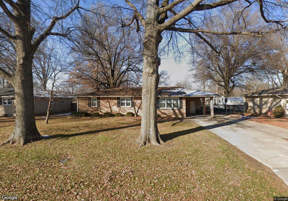
312 Powers Ave Sikeston, MO 63801
Estimated Value: $149,000 - $185,000
2
Beds
2
Baths
1,248
Sq Ft
$136/Sq Ft
Est. Value
About This Home
This home is located at 312 Powers Ave, Sikeston, MO 63801 and is currently estimated at $169,252, approximately $135 per square foot. 312 Powers Ave is a home with nearby schools including Sikeston Senior High School, St. Francis Xavier School, and The Christian Academy.
Ownership History
Date
Name
Owned For
Owner Type
Purchase Details
Closed on
Aug 13, 2024
Sold by
Church Justin Michael and Church Michael Lavern
Bought by
Church Properties Llc
Current Estimated Value
Purchase Details
Closed on
Oct 14, 2021
Sold by
Mothershead Merlin E and Mothershead Linda J
Bought by
Church Properties Llc
Home Financials for this Owner
Home Financials are based on the most recent Mortgage that was taken out on this home.
Original Mortgage
$110,000
Interest Rate
2.8%
Mortgage Type
Future Advance Clause Open End Mortgage
Create a Home Valuation Report for This Property
The Home Valuation Report is an in-depth analysis detailing your home's value as well as a comparison with similar homes in the area
Home Values in the Area
Average Home Value in this Area
Purchase History
| Date | Buyer | Sale Price | Title Company |
|---|---|---|---|
| Church Properties Llc | -- | None Listed On Document | |
| Church Properties Llc | -- | Semo Title Company |
Source: Public Records
Mortgage History
| Date | Status | Borrower | Loan Amount |
|---|---|---|---|
| Previous Owner | Church Properties Llc | $110,000 |
Source: Public Records
Tax History
| Year | Tax Paid | Tax Assessment Tax Assessment Total Assessment is a certain percentage of the fair market value that is determined by local assessors to be the total taxable value of land and additions on the property. | Land | Improvement |
|---|---|---|---|---|
| 2025 | $668 | $15,460 | $0 | $0 |
| 2024 | $7 | $14,040 | $0 | $0 |
| 2023 | $665 | $14,040 | $0 | $0 |
| 2022 | $670 | $13,570 | $0 | $0 |
| 2021 | $670 | $13,570 | $0 | $0 |
| 2020 | $492 | $13,100 | $0 | $0 |
| 2019 | -- | $13,100 | $0 | $0 |
| 2018 | -- | $13,100 | $0 | $0 |
| 2017 | -- | $13,100 | $0 | $0 |
| 2014 | -- | $10,700 | $0 | $0 |
| 2011 | -- | $10,700 | $0 | $0 |
Source: Public Records
Map
Nearby Homes
- 918 Hawthorn Dr
- 105 Linda Dr
- 106 Holmes Dr
- 719 N West St
- 4 N West St
- 111 Holmes Dr
- 511 W Lindenwood Ave
- 123 Holmes Dr
- 126 Linda Dr
- 202 N Brushwick Ave
- 627 Vernon Ave
- 901 Moore Ave
- 701 Sikes Ave
- 103 Groves Estates Ct
- 1304 Primrose Dr
- 312 Tanner St
- 114 W North St
- 501 Hunter Ave
- 628 Moore Ave
- 203 N Kingshighway St
Your Personal Tour Guide
Ask me questions while you tour the home.