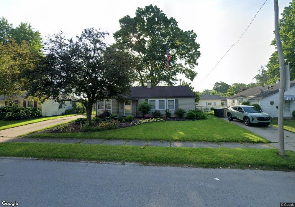
312 Preston Dr South Bend, IN 46615
Estimated Value: $170,000 - $181,000
4
Beds
2
Baths
1,120
Sq Ft
$155/Sq Ft
Est. Value
About This Home
This home is located at 312 Preston Dr, South Bend, IN 46615 and is currently estimated at $173,844, approximately $155 per square foot. 312 Preston Dr is a home located in St. Joseph County with nearby schools including Nuner Fine Arts Academy, Clay Intermediate Center, and McKinley Elementary School.
Ownership History
Date
Name
Owned For
Owner Type
Purchase Details
Closed on
Jan 9, 2015
Sold by
Thomas Amber D
Bought by
Johnson Michael Dean
Current Estimated Value
Home Financials for this Owner
Home Financials are based on the most recent Mortgage that was taken out on this home.
Original Mortgage
$48,800
Outstanding Balance
$37,379
Interest Rate
3.84%
Mortgage Type
New Conventional
Estimated Equity
$136,465
Create a Home Valuation Report for This Property
The Home Valuation Report is an in-depth analysis detailing your home's value as well as a comparison with similar homes in the area
Home Values in the Area
Average Home Value in this Area
Purchase History
| Date | Buyer | Sale Price | Title Company |
|---|---|---|---|
| Johnson Michael Dean | -- | Meridian Title |
Source: Public Records
Mortgage History
| Date | Status | Borrower | Loan Amount |
|---|---|---|---|
| Open | Johnson Michael Dean | $48,800 |
Source: Public Records
Tax History Compared to Growth
Tax History
| Year | Tax Paid | Tax Assessment Tax Assessment Total Assessment is a certain percentage of the fair market value that is determined by local assessors to be the total taxable value of land and additions on the property. | Land | Improvement |
|---|---|---|---|---|
| 2024 | $1,404 | $126,000 | $18,500 | $107,500 |
| 2023 | $1,209 | $114,700 | $18,500 | $96,200 |
| 2022 | $1,209 | $108,100 | $18,500 | $89,600 |
| 2021 | $1,091 | $94,400 | $22,000 | $72,400 |
| 2020 | $912 | $80,000 | $18,600 | $61,400 |
| 2019 | $807 | $77,600 | $20,000 | $57,600 |
| 2018 | $872 | $74,100 | $18,800 | $55,300 |
| 2017 | $757 | $64,600 | $16,800 | $47,800 |
| 2016 | $664 | $57,000 | $14,800 | $42,200 |
| 2014 | $622 | $56,300 | $14,800 | $41,500 |
| 2013 | $528 | $50,300 | $13,200 | $37,100 |
Source: Public Records
Map
Nearby Homes
- 403 Manchester Dr
- 3404 Brighton Place
- 110 S 33rd St
- 2521 Club Dr
- 807 W Lowell Ave
- 817 W Edgar Ave
- 910 W Borley Ave
- 222 N Tuxedo Dr
- 3312 E Jefferson Square
- 527 Imus Dr
- 1147 N Hickory Rd
- 2525 Benedict Ave
- 525 S 28th St
- 1239 Brummit Ln
- 537 S 27th St
- 614 W Brown Ave
- 513 S 26th St
- 1312 Brummit Ln
- 1105 S 35th St
- 2007 Cedar St
- 318 Preston Dr
- 3231 Mckinley Ave
- 324 Preston Dr
- 311 Preston Dr
- 317 Preston Dr
- 3219 Mckinley Ave
- 330 Preston Dr
- 323 Preston Dr
- 336 Preston Dr
- 329 Preston Dr
- 3209 Mckinley Ave
- 335 Preston Dr
- 404 Preston Dr
- 3134 Essex Dr
- 3203 Mckinley Ave
- 3204 Essex Dr
- 311 Sylvan Glen Dr
- 3321 Windingwood Dr
- 403 Preston Dr
- 410 Preston Dr