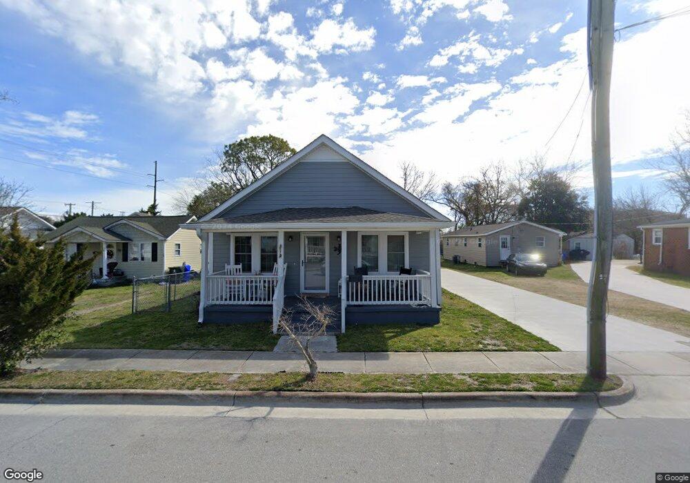
312 Queen St Beaufort, NC 28516
Estimated Value: $499,000 - $582,000
3
Beds
1
Bath
1,215
Sq Ft
$435/Sq Ft
Est. Value
About This Home
This home is located at 312 Queen St, Beaufort, NC 28516 and is currently estimated at $528,381, approximately $434 per square foot. 312 Queen St is a home located in Carteret County with nearby schools including Beaufort Elementary School, Beaufort Middle School, and East Carteret High School.
Ownership History
Date
Name
Owned For
Owner Type
Purchase Details
Closed on
Jun 24, 2021
Sold by
Jacobs Maroline D and Jacobs Ronald
Bought by
Queen Street Properties Of Beaufort Llc
Current Estimated Value
Purchase Details
Closed on
May 12, 2008
Sold by
Fulford Jeff
Bought by
Jacobs Maroline
Purchase Details
Closed on
Jun 15, 2007
Sold by
Hargett William H
Bought by
Jacobs Maroline
Create a Home Valuation Report for This Property
The Home Valuation Report is an in-depth analysis detailing your home's value as well as a comparison with similar homes in the area
Home Values in the Area
Average Home Value in this Area
Purchase History
| Date | Buyer | Sale Price | Title Company |
|---|---|---|---|
| Queen Street Properties Of Beaufort Llc | $100,000 | None Available | |
| Jacobs Maroline | -- | None Available | |
| Jacobs Maroline | -- | None Available |
Source: Public Records
Tax History Compared to Growth
Tax History
| Year | Tax Paid | Tax Assessment Tax Assessment Total Assessment is a certain percentage of the fair market value that is determined by local assessors to be the total taxable value of land and additions on the property. | Land | Improvement |
|---|---|---|---|---|
| 2025 | $3,579 | $612,607 | $412,500 | $200,107 |
| 2024 | $3,185 | $351,965 | $258,343 | $93,622 |
| 2023 | $3,090 | $351,965 | $258,343 | $93,622 |
| 2022 | $2,626 | $351,965 | $258,343 | $93,622 |
| 2021 | $2,626 | $301,506 | $258,343 | $43,163 |
| 2020 | $2,626 | $301,506 | $258,343 | $43,163 |
| 2019 | $1,878 | $218,639 | $166,846 | $51,793 |
| 2017 | $1,719 | $218,639 | $166,846 | $51,793 |
| 2016 | $1,621 | $218,639 | $166,846 | $51,793 |
| 2015 | $1,599 | $218,639 | $166,846 | $51,793 |
| 2014 | -- | $257,364 | $204,633 | $52,731 |
Source: Public Records
Map
Nearby Homes
- 601 Craven St
- 420 Pollock St
- 717 Cedar St Unit 1/2
- 200 Craven St
- 217 Turner St
- 708 Ann St
- 301 Broad St
- 217 Broad St
- 301 Hedrick St
- 805 Mulberry St Unit 202
- 805 Mulberry St Unit 204
- 805 Mulberry St Unit 105
- 805 Mulberry St Unit 201
- 805 Mulberry St Unit 104
- 805 Mulberry St Unit 103
- 805 Mulberry St Unit 102
- 805 Mulberry St Unit 101
- 903 Live Oak St
- 104 Gallants Ln
- 1011 Front St Unit 3A