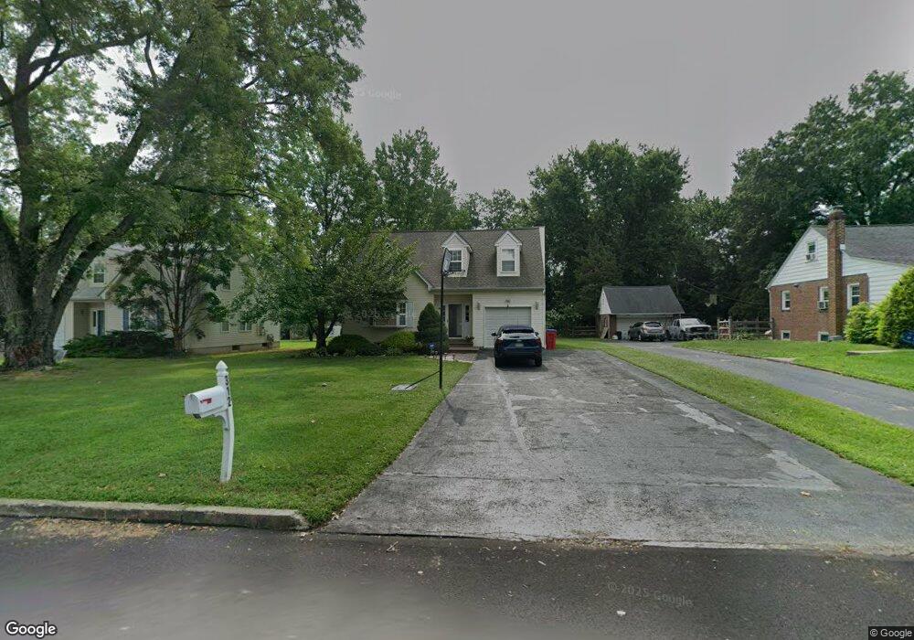
312 Rogers Rd Norristown, PA 19403
Estimated Value: $469,000 - $526,526
3
Beds
3
Baths
1,788
Sq Ft
$273/Sq Ft
Est. Value
About This Home
This home is located at 312 Rogers Rd, Norristown, PA 19403 and is currently estimated at $487,382, approximately $272 per square foot. 312 Rogers Rd is a home located in Montgomery County with nearby schools including Woodland Elementary School, Skyview Upper Elementary School, and Arcola Intermediate School.
Ownership History
Date
Name
Owned For
Owner Type
Purchase Details
Closed on
Oct 22, 2007
Sold by
Strang Rose Ann and Strang Thomas
Bought by
Littrell Katherine G and Littrell James B
Current Estimated Value
Home Financials for this Owner
Home Financials are based on the most recent Mortgage that was taken out on this home.
Original Mortgage
$248,000
Outstanding Balance
$156,279
Interest Rate
6.39%
Estimated Equity
$331,103
Purchase Details
Closed on
Jul 14, 1995
Sold by
Mullahy Michal and Mascio Philip
Bought by
Strang Thomas and Strang Rose Ann
Create a Home Valuation Report for This Property
The Home Valuation Report is an in-depth analysis detailing your home's value as well as a comparison with similar homes in the area
Home Values in the Area
Average Home Value in this Area
Purchase History
| Date | Buyer | Sale Price | Title Company |
|---|---|---|---|
| Littrell Katherine G | $310,000 | None Available | |
| Strang Thomas | $169,500 | -- |
Source: Public Records
Mortgage History
| Date | Status | Borrower | Loan Amount |
|---|---|---|---|
| Open | Littrell Katherine G | $248,000 |
Source: Public Records
Tax History Compared to Growth
Tax History
| Year | Tax Paid | Tax Assessment Tax Assessment Total Assessment is a certain percentage of the fair market value that is determined by local assessors to be the total taxable value of land and additions on the property. | Land | Improvement |
|---|---|---|---|---|
| 2025 | $6,611 | $162,090 | $55,980 | $106,110 |
| 2024 | $6,611 | $162,090 | $55,980 | $106,110 |
| 2023 | $6,361 | $162,090 | $55,980 | $106,110 |
| 2022 | $6,186 | $162,090 | $55,980 | $106,110 |
| 2021 | $6,027 | $162,090 | $55,980 | $106,110 |
| 2020 | $5,886 | $162,090 | $55,980 | $106,110 |
| 2019 | $5,832 | $162,090 | $55,980 | $106,110 |
| 2018 | $5,832 | $162,090 | $55,980 | $106,110 |
| 2017 | $5,569 | $162,090 | $55,980 | $106,110 |
| 2016 | $5,505 | $162,090 | $55,980 | $106,110 |
| 2015 | $5,291 | $162,090 | $55,980 | $106,110 |
| 2014 | $5,291 | $162,090 | $55,980 | $106,110 |
Source: Public Records
Map
Nearby Homes
- 2044 Mill Rd
- 123 Glenwood Ave
- 0 Roosevelt Blvd
- 365 Norris Hall Ln
- 1503 Reagan Ct
- 636 Hillside Ave
- 37 Burnside Ave
- 109 N Park Ave
- 308 Hillside Ave
- 2017 Yorktown S
- 2504 Grant Ct
- 526 Bassett Ln
- 2012 Yorktown S
- 617 Meadowlark Rd
- 1914 Yorktown S
- 1924 Juniata Rd
- 1905 Yorktown N
- 3026 Highley Rd
- 35 Buckwalter Rd
- 143 Riversedge Dr Unit CONDO 143
- 310 Rogers Rd
- 320 Rogers Rd
- 308 Rogers Rd
- 324 Rogers Rd
- 306 Rogers Rd Unit 52
- 317 S Trooper Rd
- 315 S Trooper Rd
- 319 S Trooper Rd
- 317 Rogers Rd
- 304 Rogers Rd Unit 53
- 315 Rogers Rd
- 309 S Trooper Rd
- 319 Rogers Rd
- 313 Rogers Rd
- 321 Rogers Rd
- 325 S Trooper Rd
- 311 Rogers Rd
- 323 Rogers Rd
- 2609 Woodland Ave
- 326 Rogers Rd