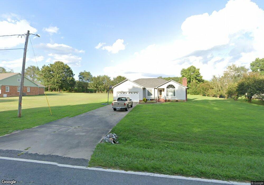
312 Rollingbrook Rd Kings Mountain, NC 28086
Estimated Value: $241,000 - $272,000
Studio
--
Bath
1,352
Sq Ft
$186/Sq Ft
Est. Value
About This Home
This home is located at 312 Rollingbrook Rd, Kings Mountain, NC 28086 and is currently estimated at $251,067, approximately $185 per square foot. 312 Rollingbrook Rd is a home located in Cleveland County with nearby schools including Bethware Elementary School, Kings Mountain Middle, and Kings Mountain Intermediate School.
Ownership History
Date
Name
Owned For
Owner Type
Purchase Details
Closed on
Aug 15, 2018
Sold by
Watkins Marvin F and Watkins Cassiopea D
Bought by
Watkins Marvin F and Watkins Cassiopea M
Current Estimated Value
Home Financials for this Owner
Home Financials are based on the most recent Mortgage that was taken out on this home.
Original Mortgage
$112,942
Interest Rate
4.12%
Mortgage Type
FHA
Purchase Details
Closed on
Feb 15, 2006
Sold by
Watkins Marvin F and Watrins Cassiopea D
Bought by
Watkins Marvin F and Watkins Cassiopea D
Create a Home Valuation Report for This Property
The Home Valuation Report is an in-depth analysis detailing your home's value as well as a comparison with similar homes in the area
Home Values in the Area
Average Home Value in this Area
Purchase History
| Date | Buyer | Sale Price | Title Company |
|---|---|---|---|
| Watkins Marvin F | -- | None Available | |
| Watkins Marvin F | -- | None Available |
Source: Public Records
Mortgage History
| Date | Status | Borrower | Loan Amount |
|---|---|---|---|
| Closed | Watkins Marvin F | $112,942 |
Source: Public Records
Tax History
| Year | Tax Paid | Tax Assessment Tax Assessment Total Assessment is a certain percentage of the fair market value that is determined by local assessors to be the total taxable value of land and additions on the property. | Land | Improvement |
|---|---|---|---|---|
| 2025 | $1,565 | $246,486 | $21,024 | $225,462 |
| 2024 | $1,319 | $155,742 | $18,501 | $137,241 |
| 2023 | $1,316 | $155,742 | $18,501 | $137,241 |
| 2022 | $1,312 | $155,742 | $18,501 | $137,241 |
| 2021 | $1,316 | $155,742 | $18,501 | $137,241 |
| 2020 | $951 | $106,052 | $16,819 | $89,233 |
| 2019 | $951 | $106,052 | $16,819 | $89,233 |
| 2018 | $947 | $106,052 | $16,819 | $89,233 |
| 2017 | $0 | $106,052 | $16,819 | $89,233 |
| 2016 | $900 | $106,052 | $16,819 | $89,233 |
| 2015 | $970 | $114,875 | $14,969 | $99,906 |
| 2014 | $970 | $114,875 | $14,969 | $99,906 |
Source: Public Records
Map
Nearby Homes
- 424 Rollingbrook Rd
- 124 Rollingbrook Rd
- 617 Oak Grove Rd
- 117 Wright Rd
- 109 Wright Rd
- 000 Putnam Lake Rd
- 124 Gold Run Ct
- 112 Kimbo Dr
- 1603 Lewis Farm Rd
- 137 Colton Ct
- 1575 Lewis Farm Rd
- 00 Gary Beam Rd
- 104 Ole Farm Place
- 5573 Lennox Dr
- 188 Cindy Ln
- 5752 Walker Way
- 221 Reliance Rd
- 105 Ager Dr
- 631 Chestnut Ridge Church Rd
- 155 Patterson Rd
- 308 Rollingbrook Rd
- 310 Rollingbrook Rd
- 314 Rollingbrook Rd
- 316 Rollingbrook Rd
- 311 Rollingbrook Rd
- 320 Rollingbrook Rd
- 300 Rollingbrook Rd
- 319 Rollingbrook Rd
- 322 Rollingbrook Rd
- 309 Rollingbrook Rd
- 423 Goforth Rd
- 421 Goforth Rd
- 425 Goforth Rd
- 425 Goforth Rd
- 324 Rollingbrook Rd
- 429 Goforth Rd
- 326 Rollingbrook Rd
- 426 Goforth Rd
- 428 Goforth Rd
- 328 Rollingbrook Rd
Your Personal Tour Guide
Ask me questions while you tour the home.