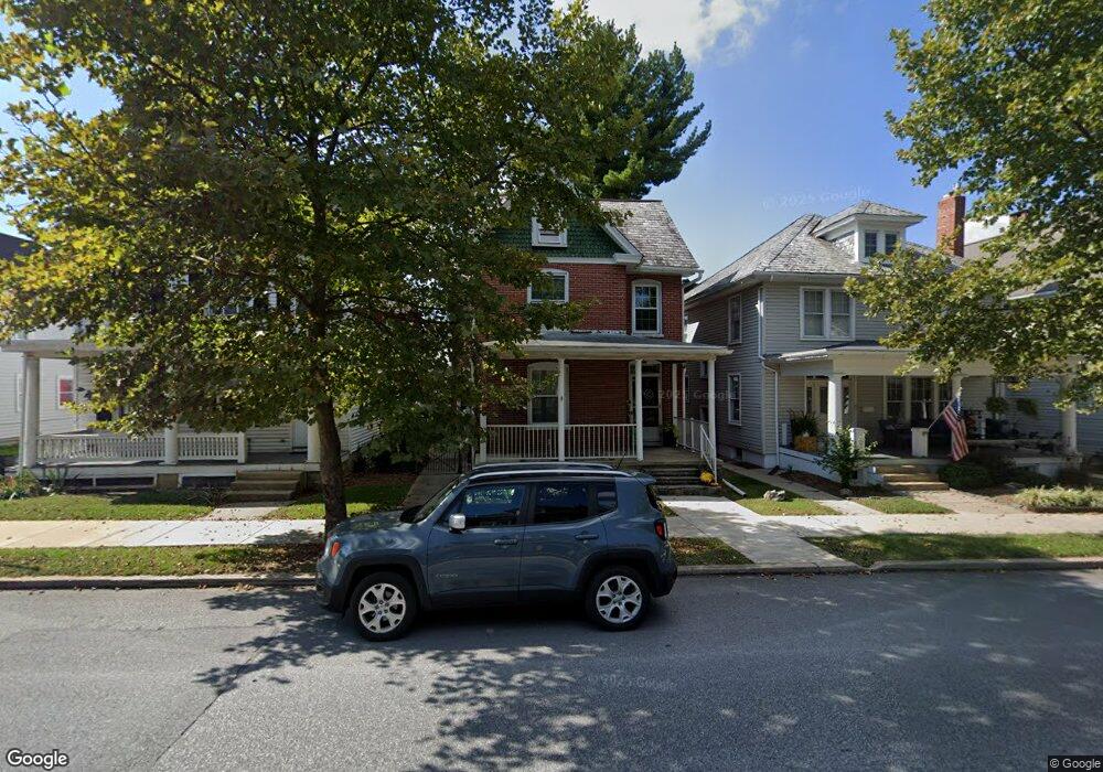
312 S Broad St Lititz, PA 17543
Estimated Value: $299,000 - $515,000
2
Beds
2
Baths
2,013
Sq Ft
$191/Sq Ft
Est. Value
About This Home
This home is located at 312 S Broad St, Lititz, PA 17543 and is currently estimated at $385,089, approximately $191 per square foot. 312 S Broad St is a home located in Lancaster County with nearby schools including Warwick Senior High School, Lititz Christian School, and Linden Hall.
Ownership History
Date
Name
Owned For
Owner Type
Purchase Details
Closed on
Jul 12, 2000
Sold by
Habecker Chester E and Habecker Verna M
Bought by
Maccartney Brandon S and Maccartney Elizabeth A
Current Estimated Value
Home Financials for this Owner
Home Financials are based on the most recent Mortgage that was taken out on this home.
Original Mortgage
$73,000
Outstanding Balance
$26,214
Interest Rate
8.28%
Estimated Equity
$358,875
Create a Home Valuation Report for This Property
The Home Valuation Report is an in-depth analysis detailing your home's value as well as a comparison with similar homes in the area
Home Values in the Area
Average Home Value in this Area
Purchase History
| Date | Buyer | Sale Price | Title Company |
|---|---|---|---|
| Maccartney Brandon S | $91,600 | -- |
Source: Public Records
Mortgage History
| Date | Status | Borrower | Loan Amount |
|---|---|---|---|
| Open | Maccartney Brandon S | $73,000 |
Source: Public Records
Tax History
| Year | Tax Paid | Tax Assessment Tax Assessment Total Assessment is a certain percentage of the fair market value that is determined by local assessors to be the total taxable value of land and additions on the property. | Land | Improvement |
|---|---|---|---|---|
| 2025 | $4,710 | $208,200 | $48,700 | $159,500 |
| 2024 | $4,710 | $208,200 | $48,700 | $159,500 |
| 2023 | $4,691 | $208,200 | $48,700 | $159,500 |
| 2022 | $4,431 | $208,200 | $48,700 | $159,500 |
| 2021 | $4,431 | $208,200 | $48,700 | $159,500 |
| 2020 | $4,431 | $208,200 | $48,700 | $159,500 |
| 2019 | $4,431 | $208,200 | $48,700 | $159,500 |
| 2018 | $3,408 | $208,200 | $48,700 | $159,500 |
| 2017 | $3,269 | $120,700 | $31,600 | $89,100 |
| 2016 | $3,269 | $120,700 | $31,600 | $89,100 |
| 2015 | $765 | $120,700 | $31,600 | $89,100 |
| 2014 | $2,379 | $120,700 | $31,600 | $89,100 |
Source: Public Records
Map
Nearby Homes
Your Personal Tour Guide
Ask me questions while you tour the home.