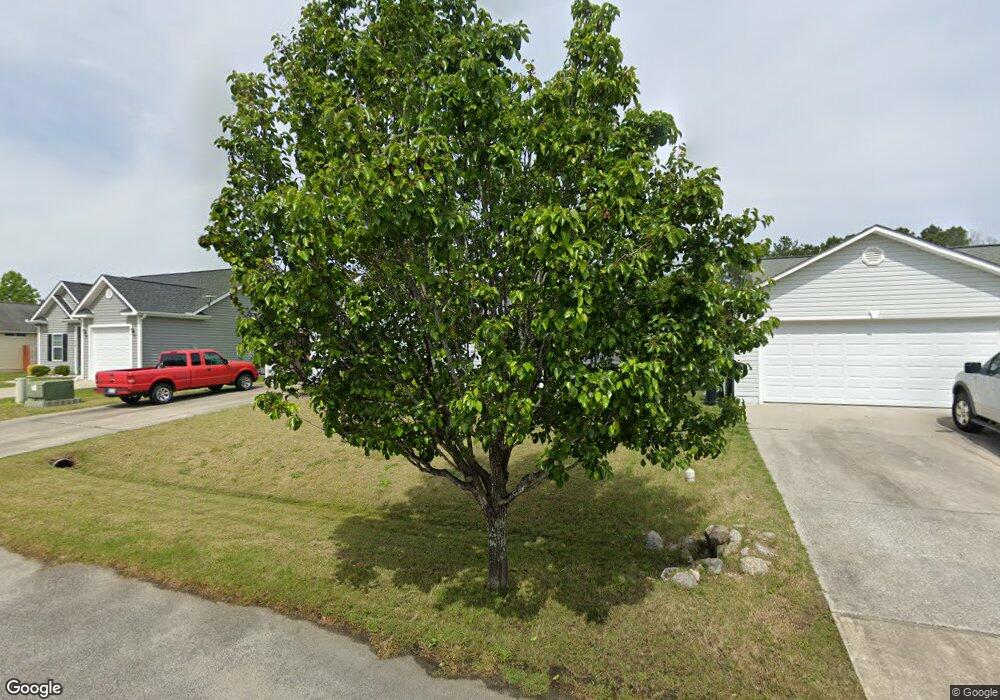
312 Sean River Rd Conway, SC 29526
Estimated Value: $233,000 - $275,000
3
Beds
2
Baths
1,316
Sq Ft
$189/Sq Ft
Est. Value
About This Home
This home is located at 312 Sean River Rd, Conway, SC 29526 and is currently estimated at $249,069, approximately $189 per square foot. 312 Sean River Rd is a home located in Horry County with nearby schools including Kingston Elementary School, Conway Middle School, and Conway High School.
Ownership History
Date
Name
Owned For
Owner Type
Purchase Details
Closed on
Oct 24, 2006
Sold by
Hayden Robert L
Bought by
Murphy Donald H and Murphy Brenda J
Current Estimated Value
Purchase Details
Closed on
Mar 3, 2006
Sold by
F & S Holdings Inc
Bought by
Finney Sharon A
Home Financials for this Owner
Home Financials are based on the most recent Mortgage that was taken out on this home.
Original Mortgage
$106,500
Interest Rate
6.19%
Mortgage Type
Fannie Mae Freddie Mac
Create a Home Valuation Report for This Property
The Home Valuation Report is an in-depth analysis detailing your home's value as well as a comparison with similar homes in the area
Home Values in the Area
Average Home Value in this Area
Purchase History
| Date | Buyer | Sale Price | Title Company |
|---|---|---|---|
| Murphy Donald H | $155,100 | None Available | |
| Finney Sharon A | $105,000 | None Available |
Source: Public Records
Mortgage History
| Date | Status | Borrower | Loan Amount |
|---|---|---|---|
| Previous Owner | Finney Sharon A | $106,500 |
Source: Public Records
Tax History Compared to Growth
Tax History
| Year | Tax Paid | Tax Assessment Tax Assessment Total Assessment is a certain percentage of the fair market value that is determined by local assessors to be the total taxable value of land and additions on the property. | Land | Improvement |
|---|---|---|---|---|
| 2024 | $526 | $13,867 | $3,600 | $10,267 |
| 2023 | $526 | $4,127 | $877 | $3,250 |
| 2021 | $480 | $8,428 | $1,564 | $6,864 |
| 2020 | $404 | $8,428 | $1,564 | $6,864 |
| 2019 | $404 | $8,428 | $1,564 | $6,864 |
| 2018 | $366 | $5,383 | $1,141 | $4,242 |
| 2017 | $351 | $5,383 | $1,141 | $4,242 |
| 2016 | -- | $5,383 | $1,141 | $4,242 |
| 2015 | $351 | $5,383 | $1,141 | $4,242 |
| 2014 | $325 | $5,383 | $1,141 | $4,242 |
Source: Public Records
Map
Nearby Homes
- 232 Oak Lea Dr
- 422 Sean River Rd Unit St. Annes Oaks
- 361 Sean River Rd
- 1911 Abba Ct
- Oliver II Plan at Grissett Landing
- Wisteria II Plan at Grissett Landing
- Montague II Plan at Grissett Landing
- Barnard II Plan at Grissett Landing
- Darcy II Plan at Grissett Landing
- Courtney II Plan at Grissett Landing
- Monaco II Plan at Grissett Landing
- 242 Williamson Lake Cir
- 131 Grissett Lake Dr
- 1021 Brick Point Ct
- 1519 Wood Stork Dr
- 2004 Mocha Ct
- 544 Honeyhill Loop
- 544 Honeyhill Loop Unit Lot 32
- 459 Honeyhill Loop
- 202 Cypress Knee Ct
- 316 Sean River Rd
- 308 Sean River Rd
- 304 Sean River Rd
- 236 Oak Lea Dr
- 236 Oak Lea Dr Unit St. Annes Oaks
- 228 Oak Lea Dr
- 240 Oak Lea Dr Unit St Annes Oaks
- 240 Oak Lea Dr
- 320 Sean River Rd
- 244 Oak Lea Dr
- 309 Sean River Rd
- 248 Oak Lea Dr
- 317 Sean River Rd
- 305 Sean River Rd
- 321 Sean River Rd
- 324 Sean River Rd
- 224 Oak Lea Dr Unit St. Annes Oaks
- 224 Oak Lea Dr
- 300 Sean River Rd Unit St. Annes Oaks
- 300 Sean River Rd