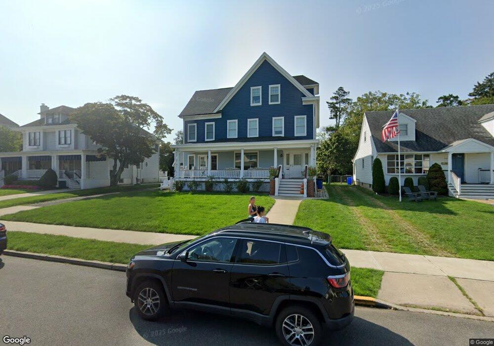
312 Spier Ave Allenhurst, NJ 07711
Estimated Value: $4,103,000 - $5,515,000
8
Beds
8
Baths
3,003
Sq Ft
$1,580/Sq Ft
Est. Value
About This Home
This home is located at 312 Spier Ave, Allenhurst, NJ 07711 and is currently estimated at $4,744,411, approximately $1,579 per square foot. 312 Spier Ave is a home located in Monmouth County with nearby schools including Hope Academy Charter School, St. Mary of the Assumption School, and Bnot Shirah of Deal.
Ownership History
Date
Name
Owned For
Owner Type
Purchase Details
Closed on
Dec 23, 2015
Sold by
Debenedictis Michelle and Rogers Christopher J
Bought by
Rogers Christopher J and Rogers Michelle
Current Estimated Value
Home Financials for this Owner
Home Financials are based on the most recent Mortgage that was taken out on this home.
Original Mortgage
$710,000
Outstanding Balance
$561,841
Interest Rate
3.97%
Estimated Equity
$4,182,571
Create a Home Valuation Report for This Property
The Home Valuation Report is an in-depth analysis detailing your home's value as well as a comparison with similar homes in the area
Home Values in the Area
Average Home Value in this Area
Purchase History
| Date | Buyer | Sale Price | Title Company |
|---|---|---|---|
| Rogers Christopher J | -- | -- |
Source: Public Records
Mortgage History
| Date | Status | Borrower | Loan Amount |
|---|---|---|---|
| Open | Rogers Christopher J | $710,000 | |
| Closed | Rogers Christopher J | -- |
Source: Public Records
Tax History
| Year | Tax Paid | Tax Assessment Tax Assessment Total Assessment is a certain percentage of the fair market value that is determined by local assessors to be the total taxable value of land and additions on the property. | Land | Improvement |
|---|---|---|---|---|
| 2025 | $18,038 | $3,594,700 | $2,660,400 | $934,300 |
| 2024 | $14,103 | $3,062,400 | $2,388,500 | $673,900 |
| 2023 | $14,103 | $2,260,100 | $1,626,000 | $634,100 |
| 2022 | $11,135 | $1,740,800 | $1,216,100 | $524,700 |
| 2021 | $9,764 | $1,471,000 | $1,004,300 | $466,700 |
| 2020 | $10,472 | $1,323,900 | $867,700 | $456,200 |
| 2019 | $9,764 | $1,228,200 | $774,700 | $453,500 |
| 2018 | $9,609 | $1,207,100 | $774,700 | $432,400 |
| 2017 | $9,207 | $1,183,400 | $774,700 | $408,700 |
| 2016 | $9,046 | $1,087,300 | $711,200 | $376,100 |
| 2015 | $8,879 | $963,000 | $635,000 | $328,000 |
| 2014 | $7,657 | $900,800 | $621,000 | $279,800 |
Source: Public Records
Map
Nearby Homes
- 315 Allen Ave
- 222 Cedar Ave
- 500 Corlies Ave
- 127 Cedar Ave
- 18 Lady Bess Dr
- 48 Neptune Ave
- 212 Bridlemere Ave
- 510 Blanchard Pkwy
- 57 Hathaway Ave
- 615 Corlies Ave
- 205 Edgemont Dr Unit 1
- 205 Edgemont Dr Unit 2
- 205 Edgemont Dr Unit 3
- 205 Edgemont Dr Unit BUILDING
- 611 Blanchard Pkwy
- 112 Euclid Ave
- 510 Deal Lake Dr Unit 8J
- 500 Deal Lake Dr Unit 5E
- 400 Deal Lake Dr Unit 3J
- 400 Deal Lake Dr Unit 6G
- 314 Spier Ave
- 310 Spier Ave
- 316 Spier Ave Unit 2
- 316 Spier Ave Unit 1
- 316 Spier Ave Unit 3
- 316 Spier Ave
- 313 Corlies Ave
- 308 Spier Ave
- 311 Corlies Ave
- 312 Main St
- 309 Corlies Ave
- 313 Spier Ave
- 317 Corlies Ave
- 311 Spier Ave
- 315 Spier Ave
- 317 Spier Ave Unit 3
- 317 Spier Ave
- 305 Corlies Ave
- 305 Corlies Ave Unit Winter
- 302 Spier Ave
Your Personal Tour Guide
Ask me questions while you tour the home.