312 Stardust Trail Unit CAG-SP-039A Landrum, SC 29356
Estimated Value: $162,000 - $352,000
--
Bed
--
Bath
--
Sq Ft
1.55
Acres
About This Home
This home is located at 312 Stardust Trail Unit CAG-SP-039A, Landrum, SC 29356 and is currently estimated at $257,000. 312 Stardust Trail Unit CAG-SP-039A is a home located in Greenville County with nearby schools including Tigerville Elementary School, Blue Ridge Middle School, and Blue Ridge High School.
Ownership History
Date
Name
Owned For
Owner Type
Purchase Details
Closed on
Jun 27, 2024
Sold by
Neighborhood Cancer Connection
Bought by
312 Stardust Trail Llc
Current Estimated Value
Purchase Details
Closed on
Dec 28, 2023
Sold by
Holland J Darryl
Bought by
Neighborhood Cancer Connection
Purchase Details
Closed on
Jan 3, 2022
Sold by
Moreno Ruben A
Bought by
Holland J Darryl
Purchase Details
Closed on
Sep 22, 2004
Sold by
Cliffs At Glassy Inc
Bought by
Moreno Ruben A
Create a Home Valuation Report for This Property
The Home Valuation Report is an in-depth analysis detailing your home's value as well as a comparison with similar homes in the area
Home Values in the Area
Average Home Value in this Area
Purchase History
| Date | Buyer | Sale Price | Title Company |
|---|---|---|---|
| 312 Stardust Trail Llc | $16,388 | None Listed On Document | |
| Neighborhood Cancer Connection | -- | South Carolina Title | |
| Holland J Darryl | -- | None Listed On Document | |
| Moreno Ruben A | $275,000 | -- |
Source: Public Records
Tax History Compared to Growth
Tax History
| Year | Tax Paid | Tax Assessment Tax Assessment Total Assessment is a certain percentage of the fair market value that is determined by local assessors to be the total taxable value of land and additions on the property. | Land | Improvement |
|---|---|---|---|---|
| 2024 | $3,080 | $9,990 | $9,990 | $0 |
| 2023 | $3,080 | $9,990 | $9,990 | $0 |
| 2022 | $2,939 | $9,990 | $9,990 | $0 |
| 2021 | $2,855 | $9,990 | $9,990 | $0 |
| 2020 | $3,013 | $9,990 | $9,990 | $0 |
| 2019 | $3,016 | $9,990 | $9,990 | $0 |
| 2018 | $2,952 | $9,990 | $9,990 | $0 |
| 2017 | $2,903 | $9,990 | $9,990 | $0 |
| 2016 | $2,824 | $166,500 | $166,500 | $0 |
| 2015 | $2,829 | $166,500 | $166,500 | $0 |
| 2014 | $2,610 | $158,682 | $158,682 | $0 |
Source: Public Records
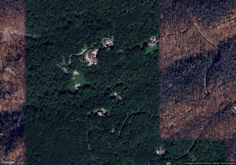
Map
Nearby Homes
- 915 and 1001 Red Sky Trail
- 613 Western Way
- 20 Falling Star Way
- 12 Drift Away Ln
- 401 Stony Rd
- 7860 Glassy Ridge Rd
- 16 Lost Trail Dr
- 00 High Country Way
- 0 High Country Way
- 0 Pine Shadow Ln Unit 1564232
- 9 Pine Shadow Ln
- 7873 Glassy Ridge Rd
- 0 Big Pine Rock Way Unit 1438012
- 8 Pine Shadow Ln
- 0 Rose Pink Trail Unit 1440866
- 0 Laurel Hill Ln
- Lot 121 Lost Trail Dr
- 215 Yellowroot Ln
- 0 Snap Dragon Way
- 30 Snap Dragon Way
- 312 Stardust Trail Unit Glassy, Sunset Point
- 312 Stardust Trail
- 28 Red Sky Trail Unit CAG-SP-033 m
- 28 Red Sky Trail
- 30 Red Sky Trail Unit SUNSET POINTE LOT
- 30 Red Sky Trail
- 35 Falling Star Way Unit Section Sunset Point
- 35 Falling Star Way Unit CAG-SP-024 m
- 916 Red Sky Trail Unit Glassy, Sunset Point
- 916 Red Sky Trail Unit SUNSET POINTE LOT
- 916 Red Sky Trail
- 39 Falling Star Way
- 309 Stardust Trail Unit CAG-SP-42B
- 309 Stardust Trail
- 45 Falling Star Way
- 38 Falling Star Way Unit Glassy, Sunset Point
- 29 Falling Star Way
- 912 Red Sky Trail Unit CAG-SP-036
- 912 Red Sky Trail
- 1000 Red Sky Trail