312 Sting Ray Ct Guyton, GA 31312
Estimated Value: $440,480 - $481,000
--
Bed
1
Bath
2,574
Sq Ft
$180/Sq Ft
Est. Value
About This Home
This home is located at 312 Sting Ray Ct, Guyton, GA 31312 and is currently estimated at $462,620, approximately $179 per square foot. 312 Sting Ray Ct is a home located in Effingham County with nearby schools including South Effingham Elementary School, South Effingham Middle School, and South Effingham High School.
Ownership History
Date
Name
Owned For
Owner Type
Purchase Details
Closed on
Aug 30, 2017
Sold by
Lorenz Donna D
Bought by
Lorenz Marvin R
Current Estimated Value
Purchase Details
Closed on
Feb 20, 2003
Bought by
Lorenz Marvin R
Create a Home Valuation Report for This Property
The Home Valuation Report is an in-depth analysis detailing your home's value as well as a comparison with similar homes in the area
Home Values in the Area
Average Home Value in this Area
Purchase History
| Date | Buyer | Sale Price | Title Company |
|---|---|---|---|
| Lorenz Marvin R | -- | -- | |
| Lorenz Marvin R | $40,000 | -- |
Source: Public Records
Tax History Compared to Growth
Tax History
| Year | Tax Paid | Tax Assessment Tax Assessment Total Assessment is a certain percentage of the fair market value that is determined by local assessors to be the total taxable value of land and additions on the property. | Land | Improvement |
|---|---|---|---|---|
| 2025 | $5,051 | $167,069 | $30,000 | $137,069 |
| 2024 | $4,637 | $165,954 | $30,000 | $135,954 |
| 2023 | $4,546 | $157,455 | $20,800 | $136,655 |
| 2022 | $458 | $156,655 | $20,000 | $136,655 |
| 2021 | $4,272 | $138,976 | $20,000 | $118,976 |
| 2020 | $4,022 | $131,228 | $18,000 | $113,228 |
| 2019 | $4,049 | $131,228 | $18,000 | $113,228 |
| 2018 | $3,883 | $123,506 | $18,000 | $105,506 |
| 2017 | $3,924 | $123,506 | $18,000 | $105,506 |
| 2016 | $3,639 | $119,834 | $16,000 | $103,834 |
| 2015 | -- | $119,834 | $16,000 | $103,834 |
| 2014 | -- | $125,034 | $21,200 | $103,834 |
| 2013 | -- | $125,034 | $21,200 | $103,834 |
Source: Public Records
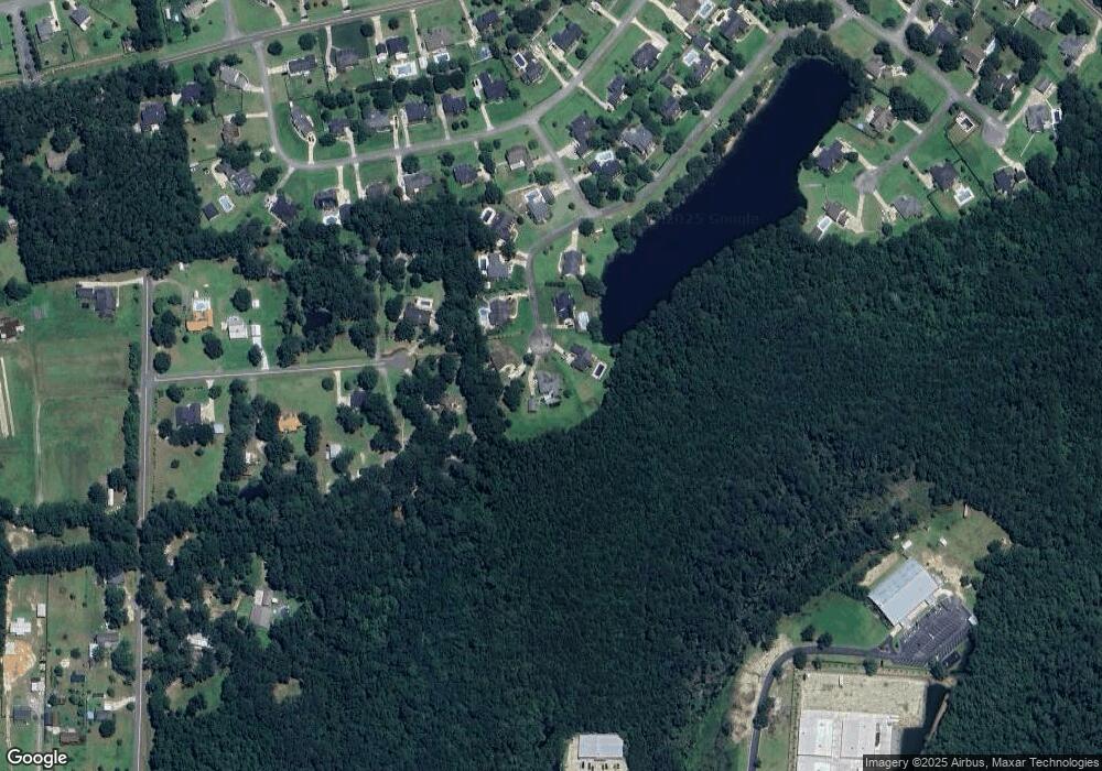
Map
Nearby Homes
- 2410 Hodgeville Rd
- 310 Keen Way
- 203 Orchard Dr
- 124 Breaklands Ct
- 116 Breaklands Ct
- 109 Claystone Ct
- 74 Winslow Cir
- 86 Winslow Cir
- 123 Telford St
- 105 Telford St
- 58 Winslow Cir
- 167 Whitehaven Rd
- 158 Troupe Dr
- 75 Redwall Cir
- 201 Antigua Place
- 9 Saddle St N
- The Aspen Plan at Savannah Highlands
- The Brookhaven Plan at Savannah Highlands
- The Wilmington Plan at Savannah Highlands
- The Camilla Plan at Savannah Highlands
- 305 Sting Ray Ct
- 310 Sting Ray Ct
- 303 Sting Ray Ct
- 308 Sting Ray Ct
- 174 Robin Rd
- 301 Sting Ray Ct
- 306 Sting Ray Ct
- 175 Robin Rd
- 304 Sting Ray Ct
- 302 Sting Ray Ct
- 162 Robin Rd
- 201 Lakewood Cir
- 114 Lakewood Dr
- 116 Lakewood Dr
- 163 Robin Rd
- 112 Lakewood Dr
- 120 Lakewood Dr
- 110 Lakewood Dr
- 203 Lakewood Cir
- 132 Robin Rd