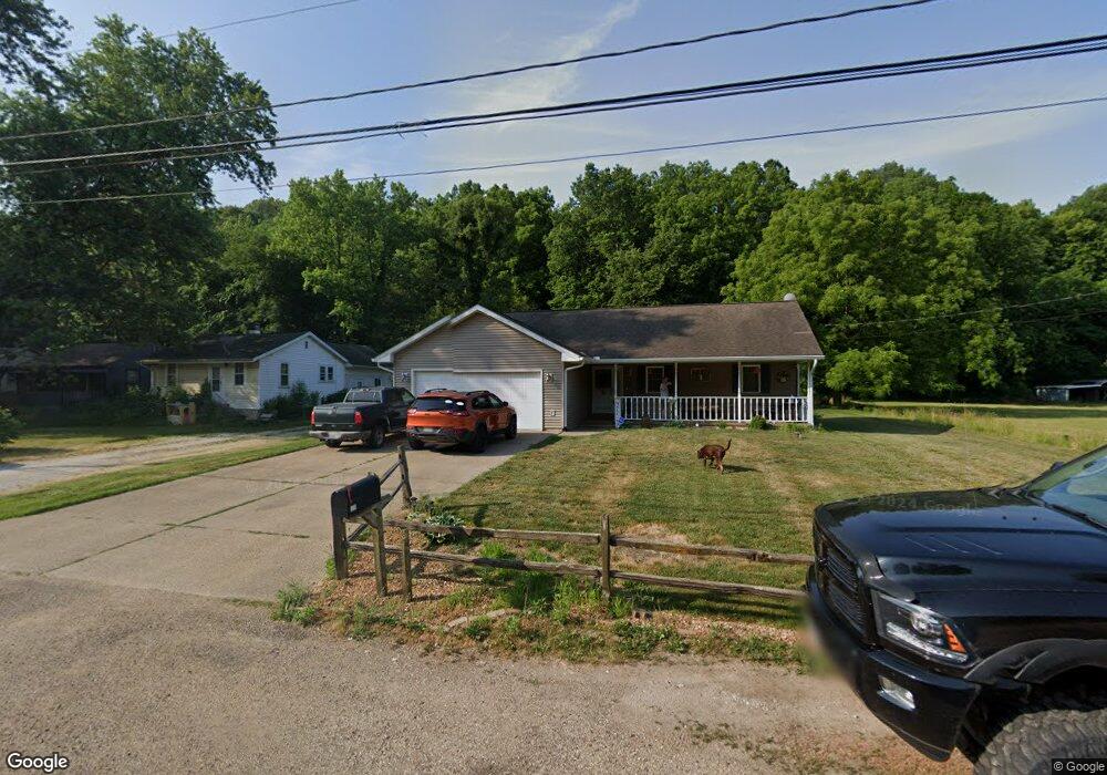
312 Terminal St East Peoria, IL 61611
Estimated Value: $183,000 - $269,000
3
Beds
3
Baths
1,045
Sq Ft
$220/Sq Ft
Est. Value
About This Home
This home is located at 312 Terminal St, East Peoria, IL 61611 and is currently estimated at $229,708, approximately $219 per square foot. 312 Terminal St is a home located in Tazewell County with nearby schools including Woodrow Wilson Elementary School, Glendale Elementary School, and Central Junior High School.
Ownership History
Date
Name
Owned For
Owner Type
Purchase Details
Closed on
Mar 4, 2008
Sold by
Young Keri L
Bought by
Young Kevin L
Current Estimated Value
Home Financials for this Owner
Home Financials are based on the most recent Mortgage that was taken out on this home.
Original Mortgage
$124,500
Outstanding Balance
$76,599
Interest Rate
5.51%
Mortgage Type
Purchase Money Mortgage
Estimated Equity
$153,109
Purchase Details
Closed on
Apr 18, 2005
Sold by
Cassidy James F
Bought by
Young Kevin L and Young Keri L
Home Financials for this Owner
Home Financials are based on the most recent Mortgage that was taken out on this home.
Original Mortgage
$128,500
Interest Rate
5.88%
Mortgage Type
New Conventional
Create a Home Valuation Report for This Property
The Home Valuation Report is an in-depth analysis detailing your home's value as well as a comparison with similar homes in the area
Home Values in the Area
Average Home Value in this Area
Purchase History
| Date | Buyer | Sale Price | Title Company |
|---|---|---|---|
| Young Kevin L | -- | None Available | |
| Young Kevin L | $129,000 | -- |
Source: Public Records
Mortgage History
| Date | Status | Borrower | Loan Amount |
|---|---|---|---|
| Open | Young Kevin L | $124,500 | |
| Previous Owner | Young Kevin L | $128,500 |
Source: Public Records
Tax History Compared to Growth
Tax History
| Year | Tax Paid | Tax Assessment Tax Assessment Total Assessment is a certain percentage of the fair market value that is determined by local assessors to be the total taxable value of land and additions on the property. | Land | Improvement |
|---|---|---|---|---|
| 2024 | $4,028 | $62,980 | $7,530 | $55,450 |
| 2023 | $4,028 | $57,820 | $6,910 | $50,910 |
| 2022 | $3,769 | $53,480 | $6,390 | $47,090 |
| 2021 | $3,604 | $51,420 | $6,140 | $45,280 |
| 2020 | $3,505 | $51,420 | $6,140 | $45,280 |
| 2019 | $3,484 | $51,420 | $6,140 | $45,280 |
| 2018 | $3,377 | $51,420 | $6,140 | $45,280 |
| 2017 | $3,481 | $53,600 | $6,130 | $47,470 |
| 2016 | $3,421 | $53,600 | $6,130 | $47,470 |
| 2015 | $3,252 | $0 | $0 | $0 |
| 2013 | $3,257 | $51,930 | $5,940 | $45,990 |
Source: Public Records
Map
Nearby Homes
- 717 Bloomington Rd
- 1513 Bloomington Rd
- 223 Kerfoot St
- 615 Meadow Ave
- 322 Schulzki Ln
- 1004 Springfield Rd
- 1203 Springfield Rd
- Lot 7 Sundance Ln
- 106 Field Grove Rd
- 1406 Springfield Rd
- 123 Terrace Ln
- 1738 Meadow Ave
- 125 Canterbury Ct
- 210 Stewart St
- 125 W Eden St
- 104 N Inglewood Dr
- 950 N Main St
- 515 Briarbrook Dr
- 101 Fernwood Ct
- 114 Raynor St
- 314 Terminal St
- 316 Terminal St
- 304 Terminal St
- 318 Terminal St
- 218 Terminal St
- 216 Terminal St
- 212 Terminal St
- 324 Terminal St
- 210 Terminal St
- 206 Terminal St
- 205 Fahey Hollow Rd
- 204 Terminal St
- 202 Terminal St
- 1200 Bloomington Rd
- 1110 Bloomington Rd
- 1104 Bloomington Rd
- 1102 Bloomington Rd
- 418 Terminal St
- 1204 Bloomington Rd
- 1111 Bloomington Rd Unit BOM