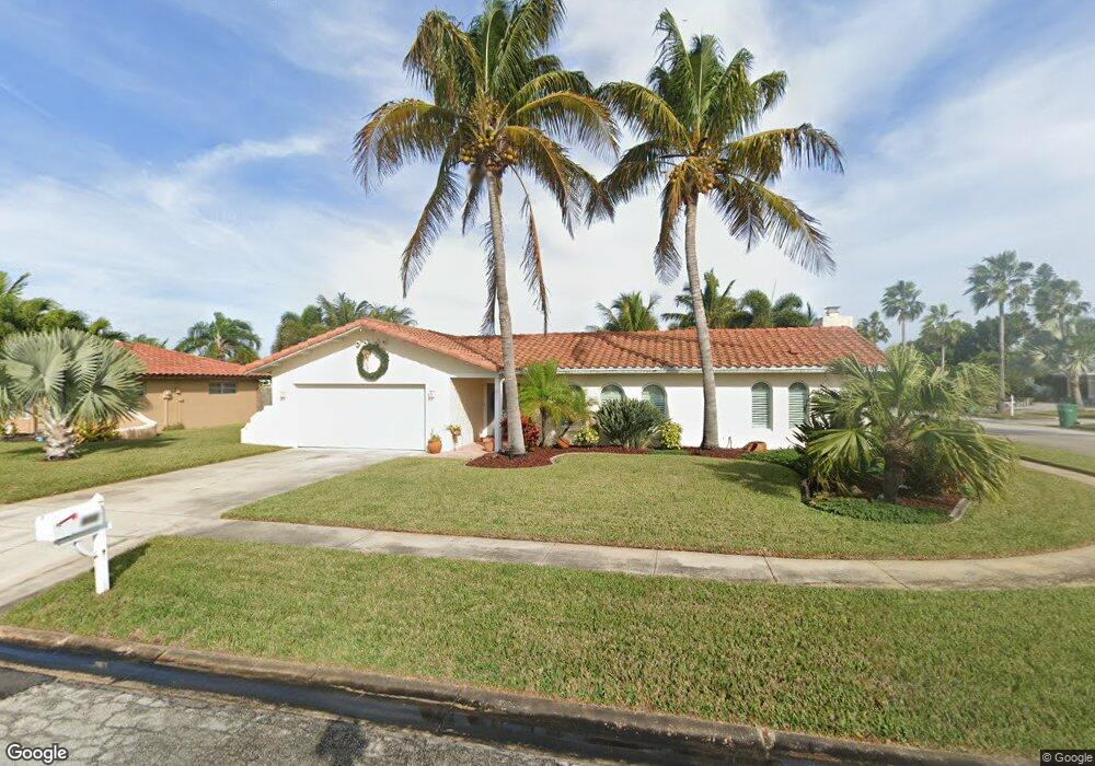
312 Trinidad Dr Satellite Beach, FL 32937
Estimated Value: $536,000 - $596,000
3
Beds
2
Baths
1,867
Sq Ft
$301/Sq Ft
Est. Value
About This Home
This home is located at 312 Trinidad Dr, Satellite Beach, FL 32937 and is currently estimated at $562,259, approximately $301 per square foot. 312 Trinidad Dr is a home located in Brevard County with nearby schools including Ocean Breeze Elementary School, Satellite Senior High School, and DeLaura Middle School.
Ownership History
Date
Name
Owned For
Owner Type
Purchase Details
Closed on
Nov 19, 2002
Sold by
Turek Donald J
Bought by
Balcavage Gregory and Cline Kelley L
Current Estimated Value
Home Financials for this Owner
Home Financials are based on the most recent Mortgage that was taken out on this home.
Original Mortgage
$134,400
Outstanding Balance
$56,004
Interest Rate
5.95%
Mortgage Type
Purchase Money Mortgage
Estimated Equity
$506,255
Create a Home Valuation Report for This Property
The Home Valuation Report is an in-depth analysis detailing your home's value as well as a comparison with similar homes in the area
Home Values in the Area
Average Home Value in this Area
Purchase History
| Date | Buyer | Sale Price | Title Company |
|---|---|---|---|
| Balcavage Gregory | $168,000 | -- |
Source: Public Records
Mortgage History
| Date | Status | Borrower | Loan Amount |
|---|---|---|---|
| Open | Balcavage Gregory | $134,400 |
Source: Public Records
Tax History
| Year | Tax Paid | Tax Assessment Tax Assessment Total Assessment is a certain percentage of the fair market value that is determined by local assessors to be the total taxable value of land and additions on the property. | Land | Improvement |
|---|---|---|---|---|
| 2025 | $2,894 | $190,920 | -- | -- |
| 2024 | $2,845 | $185,540 | -- | -- |
| 2023 | $2,845 | $180,140 | $0 | $0 |
| 2022 | $2,664 | $174,900 | $0 | $0 |
| 2021 | $2,742 | $169,810 | $0 | $0 |
| 2020 | $2,732 | $167,470 | $0 | $0 |
| 2019 | $2,712 | $163,710 | $0 | $0 |
| 2018 | $2,712 | $160,660 | $0 | $0 |
| 2017 | $2,540 | $157,360 | $0 | $0 |
| 2016 | $2,546 | $154,130 | $85,000 | $69,130 |
| 2015 | $2,607 | $153,060 | $75,000 | $78,060 |
| 2014 | $2,610 | $151,850 | $70,000 | $81,850 |
Source: Public Records
Map
Nearby Homes
- 215 S Robert Way
- 413 Trinidad Dr
- 225 Sunrise Ave
- 400 Maria Dr
- 358 Desoto Pkwy
- 485 Caribbean Dr
- 585 Kale St
- 435 Desoto Pkwy
- 305 Wimico Dr
- 550 Temple St
- 212 Bella Coola Dr
- 105 Carissa Dr
- 800 Poinsetta Dr Unit 4
- 155 Elm Ave
- 110 Desoto Pkwy Unit 10
- 110 Desoto Pkwy Unit 9
- 837 Poinsetta Dr
- 106 Sunrise Ave Unit A & B
- 1568 Highway A1a
- 212 Mcguire Blvd
- 316 Trinidad Dr
- 315 Lynn Ave
- 325 Lynn Ave
- 309 Trinidad Dr
- 318 Trinidad Dr
- 315 Trinidad Dr
- 311 Trinidad Dr
- 317 Trinidad Dr
- 307 Trinidad Dr
- 313 Trinidad Dr
- 335 Lynn Ave
- 319 Trinidad Dr
- 324 Trinidad Dr
- 305 Trinidad Dr
- 640 N Robin Way
- 630 N Robin Way
- 650 N Robin Way
- 345 Lynn Ave
- 330 Lynn Ave
- 620 N Robin Way
Your Personal Tour Guide
Ask me questions while you tour the home.