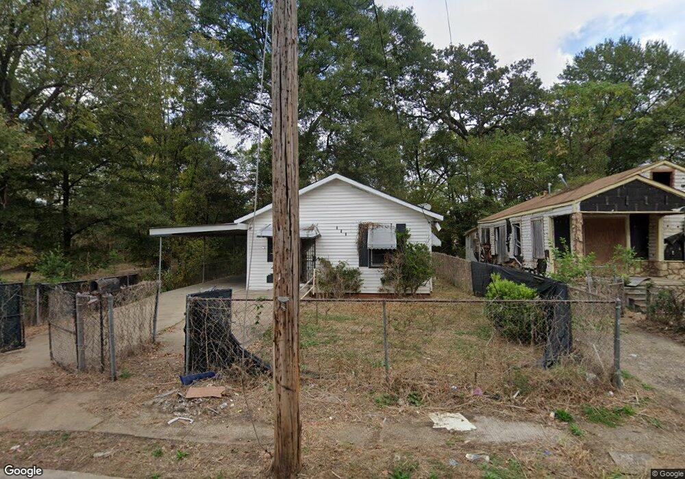
312 W 69th St Shreveport, LA 71106
Cedar Grove/Lynbrook NeighborhoodEstimated Value: $36,000 - $49,598
2
Beds
1
Bath
710
Sq Ft
$59/Sq Ft
Est. Value
About This Home
This home is located at 312 W 69th St, Shreveport, LA 71106 and is currently estimated at $42,150, approximately $59 per square foot. 312 W 69th St is a home located in Caddo Parish with nearby schools including Atkins Technology Elementary School, Fairfield Magnet School, and South Highlands Elementary.
Ownership History
Date
Name
Owned For
Owner Type
Purchase Details
Closed on
Jun 14, 2022
Sold by
White Oak Title Llc
Bought by
Bayou Estate Properties Llc
Current Estimated Value
Purchase Details
Closed on
Feb 25, 2022
Sold by
White Oak Title Llc
Bought by
W E C Inveatment Group Llc
Purchase Details
Closed on
Jul 3, 2018
Sold by
Caddo Parish Sheriff
Bought by
Parish Caddo
Purchase Details
Closed on
May 18, 2018
Sold by
Caddo County Collector
Bought by
Shreveport City
Purchase Details
Closed on
Jun 5, 2014
Sold by
Jackson Lottle and Tubbs Pamela
Bought by
Lee Jay Taffeny D
Create a Home Valuation Report for This Property
The Home Valuation Report is an in-depth analysis detailing your home's value as well as a comparison with similar homes in the area
Home Values in the Area
Average Home Value in this Area
Purchase History
| Date | Buyer | Sale Price | Title Company |
|---|---|---|---|
| Bayou Estate Properties Llc | -- | None Listed On Document | |
| W E C Inveatment Group Llc | -- | None Listed On Document | |
| Parish Caddo | $699 | None Available | |
| Shreveport City | $381 | None Available | |
| Lee Jay Taffeny D | -- | None Available |
Source: Public Records
Tax History Compared to Growth
Tax History
| Year | Tax Paid | Tax Assessment Tax Assessment Total Assessment is a certain percentage of the fair market value that is determined by local assessors to be the total taxable value of land and additions on the property. | Land | Improvement |
|---|---|---|---|---|
| 2024 | $471 | $3,022 | $500 | $2,522 |
| 2023 | $478 | $2,998 | $476 | $2,522 |
| 2022 | $478 | $2,998 | $476 | $2,522 |
| 2021 | $441 | $2,812 | $476 | $2,336 |
| 2020 | $441 | $2,812 | $476 | $2,336 |
| 2019 | $455 | $2,812 | $476 | $2,336 |
| 2018 | $362 | $2,812 | $476 | $2,336 |
| 2017 | $462 | $2,812 | $476 | $2,336 |
| 2015 | -- | $3,100 | $480 | $2,620 |
| 2014 | -- | $3,100 | $480 | $2,620 |
| 2013 | -- | $3,100 | $480 | $2,620 |
Source: Public Records
Map
Nearby Homes
- 307 W 69th St
- 446 W 69th St
- 525 Sassafras Ave
- 529 Sassafras Ave
- 658 W 69th St
- 661 W 71st St
- 2029 Garrett Farms Row
- 2006 Garrett Farms Row
- 250 E 68th St
- 7205 Southern Ave
- 629 W 64th St
- 602 W 74th St
- 247 E 72nd St
- 517 W 76th St
- 533 W 77th St
- 744 W 73rd St
- 748 W 73rd St
- 361 E 70th St
- 6204 Henderson Ave
- 7225 Burlingame Blvd