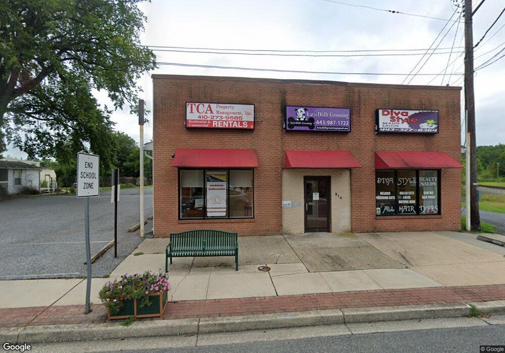
312 W Bel Air Ave Aberdeen, MD 21001
--
Bed
--
Bath
8,000
Sq Ft
0.76
Acres
About This Home
This home is located at 312 W Bel Air Ave, Aberdeen, MD 21001. 312 W Bel Air Ave is a home located in Harford County with nearby schools including Halls Cross Roads Elementary School, Aberdeen Middle School, and Aberdeen High School.
Ownership History
Date
Name
Owned For
Owner Type
Purchase Details
Closed on
Mar 27, 2025
Sold by
Curry Caroline M and Curry Donald R
Bought by
Curry Family Trust and Curry
Purchase Details
Closed on
Oct 4, 2024
Sold by
Curry Family Trust and Curry Caroline M
Bought by
Curry Caroline M and Curry Donald R
Purchase Details
Closed on
Jun 29, 2001
Sold by
Wayne Properties
Bought by
Curry Family Trust
Purchase Details
Closed on
Feb 19, 1985
Sold by
Joines Bobby Ray
Bought by
Wayne Properties
Home Financials for this Owner
Home Financials are based on the most recent Mortgage that was taken out on this home.
Original Mortgage
$102,000
Interest Rate
12.9%
Create a Home Valuation Report for This Property
The Home Valuation Report is an in-depth analysis detailing your home's value as well as a comparison with similar homes in the area
Home Values in the Area
Average Home Value in this Area
Purchase History
| Date | Buyer | Sale Price | Title Company |
|---|---|---|---|
| Curry Family Trust | -- | None Listed On Document | |
| Curry Family Trust | -- | None Listed On Document | |
| Curry Caroline M | -- | None Listed On Document | |
| Curry Caroline M | -- | None Listed On Document | |
| Curry Family Trust | -- | -- | |
| Wayne Properties | $135,000 | -- |
Source: Public Records
Mortgage History
| Date | Status | Borrower | Loan Amount |
|---|---|---|---|
| Previous Owner | Wayne Properties | $102,000 |
Source: Public Records
Tax History Compared to Growth
Tax History
| Year | Tax Paid | Tax Assessment Tax Assessment Total Assessment is a certain percentage of the fair market value that is determined by local assessors to be the total taxable value of land and additions on the property. | Land | Improvement |
|---|---|---|---|---|
| 2025 | $4,292 | $469,733 | $0 | $0 |
| 2024 | $4,097 | $450,267 | $0 | $0 |
| 2023 | $4,097 | $430,800 | $147,200 | $283,600 |
| 2022 | $4,684 | $429,800 | $0 | $0 |
| 2021 | $5,319 | $428,800 | $0 | $0 |
| 2020 | $4,302 | $427,800 | $147,200 | $280,600 |
| 2019 | $4,267 | $424,300 | $0 | $0 |
| 2018 | $4,194 | $420,800 | $0 | $0 |
| 2017 | $4,160 | $417,300 | $0 | $0 |
| 2016 | -- | $407,767 | $0 | $0 |
| 2015 | $3,278 | $398,267 | $0 | $0 |
| 2014 | $3,278 | $388,700 | $0 | $0 |
Source: Public Records
Map
Nearby Homes
- 73 Baker St
- 77 Baker St
- 406 Ford St
- 0 Harford St Unit MDHR2039982
- 754 Custis St
- 25 Mitchell Ave
- 414 S Parke St
- 435 Edmund St
- 458 Bonnett St
- 631 W Bel Air Ave
- 515 S Law St
- 647 Elm St
- 426 Washington St
- 0 S Philadelphia Blvd
- 638 Westwood Dr
- 642 Westwood Dr
- 21 Gunnison Dr
- 519 S Parke St
- 180 Old Post Rd
- 296 Paradise Rd
- 310 W Bel Air Ave
- 302 W Bel Air Ave
- 404 W Bel Air Ave
- 2 Mount Royal Ave
- 4 S Law St
- 300 W Bel Air Ave
- 3 Mount Royal Ave
- 314 W Bel Air Ave Unit C
- 301 Custis St
- 8 S Law St
- 305 Custis St
- 309 W Bel Air Ave
- 309 Custis St
- 12 S Law St
- 409 W Bel Air Ave
- 313 Custis St
- 301 W Bel Air Ave
- 226 W Bel Air Ave
- 16 S Law St
- 3 S Law St