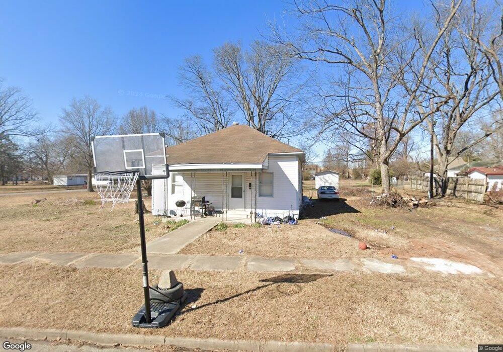
312 W Cedar St Mc Gehee, AR 71654
Estimated Value: $56,091 - $85,000
Studio
1
Bath
944
Sq Ft
$74/Sq Ft
Est. Value
About This Home
This home is located at 312 W Cedar St, Mc Gehee, AR 71654 and is currently estimated at $69,773, approximately $73 per square foot. 312 W Cedar St is a home located in Desha County with nearby schools including McGehee Elementary School, Conner Middle School, and McGehee High School.
Ownership History
Date
Name
Owned For
Owner Type
Purchase Details
Closed on
Jun 26, 2015
Sold by
Paskel Jennisha
Bought by
Trotter Investments Llc
Current Estimated Value
Purchase Details
Closed on
Mar 13, 2014
Sold by
Desha County Commissioner
Bought by
Trotter Investments Llc
Purchase Details
Closed on
Sep 19, 1991
Bought by
Bobby and Connie Saxon
Purchase Details
Closed on
Mar 7, 1991
Bought by
Mcgehee Bank
Purchase Details
Closed on
Nov 7, 1984
Bought by
Briercroft Service
Purchase Details
Closed on
Nov 10, 1971
Bought by
Ed and Jessie Owens
Create a Home Valuation Report for This Property
The Home Valuation Report is an in-depth analysis detailing your home's value as well as a comparison with similar homes in the area
Home Values in the Area
Average Home Value in this Area
Purchase History
We collect this data history from publicly available records. To have your information removed, we recommend requesting removal directly through your county’s website.
| Date | Buyer | Sale Price | Title Company |
|---|---|---|---|
| Trotter Investments Llc | $24,850 | None Available | |
| Trotter Investments Llc | $374 | None Available | |
| Bobby | $1,000 | -- | |
| Mcgehee Bank | -- | -- | |
| Briercroft Service | $6,500 | -- | |
| Ed | -- | -- |
Source: Public Records
Tax History
| Year | Tax Paid | Tax Assessment Tax Assessment Total Assessment is a certain percentage of the fair market value that is determined by local assessors to be the total taxable value of land and additions on the property. | Land | Improvement |
|---|---|---|---|---|
| 2025 | $110 | $2,090 | $400 | $1,690 |
| 2024 | $110 | $2,090 | $400 | $1,690 |
| 2023 | $110 | $2,090 | $400 | $1,690 |
| 2022 | $131 | $2,090 | $400 | $1,690 |
| 2021 | $168 | $2,690 | $400 | $2,290 |
| 2020 | $166 | $2,690 | $400 | $2,290 |
| 2019 | $166 | $2,690 | $400 | $2,290 |
| 2018 | $166 | $2,690 | $400 | $2,290 |
| 2017 | $164 | $2,690 | $400 | $2,290 |
| 2015 | -- | $2,110 | $400 | $1,710 |
| 2014 | -- | $2,110 | $400 | $1,710 |
| 2013 | -- | $2,110 | $400 | $1,710 |
Source: Public Records
Map
Nearby Homes
- 309 S 5th St
- Lot 1 S 1st St
- Lot 2 S 1st St
- 700 Thompson St
- 109 Masonville Rd
- 0 Masonville Rd Unit 25037306
- Lots 6-7 Bush St
- 32 Shannon Dr
- 16 Fairview Dr
- 13 Wolfe Dr
- 100 Sherwood St
- Lot 2 Cypress Gardens
- 12 Bayou Cove Cir
- 4 Reynolds Dr
- 604 Highway 65 S
- 1104 U S 65
- Vacant land Cater Ln
- 400 Crooked Bayou Dr
- Lot 7 W Matthews St
- 475 S 2nd
Your Personal Tour Guide
Ask me questions while you tour the home.