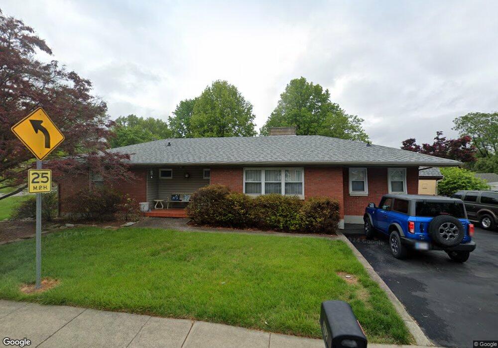
312 W Daisy Ln New Albany, IN 47150
Estimated Value: $257,000 - $287,000
3
Beds
2
Baths
1,588
Sq Ft
$170/Sq Ft
Est. Value
About This Home
This home is located at 312 W Daisy Ln, New Albany, IN 47150 and is currently estimated at $269,811, approximately $169 per square foot. 312 W Daisy Ln is a home located in Floyd County with nearby schools including Hazelwood Middle School, New Albany Senior High School, and Holy Family School.
Ownership History
Date
Name
Owned For
Owner Type
Purchase Details
Closed on
May 13, 2015
Sold by
Brinkworth Mary Ann
Bought by
Brinkworth Charles Thomas and Brinkworth Donna L
Current Estimated Value
Purchase Details
Closed on
Sep 28, 2007
Sold by
Brinkworth John G and Brinkworth Mary Ann
Bought by
City Of New Albany
Create a Home Valuation Report for This Property
The Home Valuation Report is an in-depth analysis detailing your home's value as well as a comparison with similar homes in the area
Home Values in the Area
Average Home Value in this Area
Purchase History
| Date | Buyer | Sale Price | Title Company |
|---|---|---|---|
| Brinkworth Charles Thomas | -- | -- | |
| City Of New Albany | -- | None Available |
Source: Public Records
Tax History Compared to Growth
Tax History
| Year | Tax Paid | Tax Assessment Tax Assessment Total Assessment is a certain percentage of the fair market value that is determined by local assessors to be the total taxable value of land and additions on the property. | Land | Improvement |
|---|---|---|---|---|
| 2024 | $2,700 | $254,100 | $29,300 | $224,800 |
| 2023 | $2,938 | $230,400 | $29,300 | $201,100 |
| 2022 | $2,468 | $200,500 | $29,300 | $171,200 |
| 2021 | $2,181 | $177,600 | $29,300 | $148,300 |
| 2020 | $2,172 | $177,600 | $29,300 | $148,300 |
| 2019 | $2,114 | $173,500 | $29,300 | $144,200 |
| 2018 | $1,975 | $158,100 | $29,300 | $128,800 |
| 2017 | $1,428 | $126,400 | $29,300 | $97,100 |
| 2016 | $1,305 | $125,300 | $29,300 | $96,000 |
| 2014 | $2,938 | $139,600 | $29,200 | $110,400 |
| 2013 | -- | $139,100 | $29,200 | $109,900 |
Source: Public Records
Map
Nearby Homes
- 2318 Coyle Dr
- 2703 Clearstream Ct
- 10 Valley View Ct
- 810 Katie Lane (Lot 10)
- 205 Robin Lynne Dr
- 6 Valley View Ct
- 301 Country Club Dr
- 2424 Stover Dr
- 3000 Barrington Ct
- 102 Crown Ct
- 511 E Daisy Ln
- 131 Olive Ave
- 2928 Green Valley Rd
- 201 Virginia Ct
- 528 Drawbrook Cir
- 61 Wolfe Trace Ct
- 1519 Valley View Rd
- 627 Roseview Terrace
- 226 Sloemer Ave
- 420 Sherley St
- 310 W Daisy Ln
- 104 Franklin Dr
- 2407 Harris Ct
- 101 Rossmoore Dr
- 313 W Daisy Ln
- 106 Franklin Dr
- 311 W Daisy Ln
- 315 W Daisy Ln
- 308 W Daisy Ln
- 103 Franklin Dr
- 2409 Harris Ct
- 307 W Daisy Ln
- 401 W Daisy Ln
- 2406 Harris Ct
- 108 Franklin Dr
- 404 W Daisy Ln
- 103 Rossmoore Dr
- 105 Franklin Dr
- 310 Ann Place
- 2333 Coyle Dr