312 W Dawes St Broughton, IL 62817
Estimated Value: $75,335 - $93,000
--
Bed
--
Bath
--
Sq Ft
0.33
Acres
About This Home
This home is located at 312 W Dawes St, Broughton, IL 62817 and is currently estimated at $84,778. 312 W Dawes St is a home with nearby schools including Eldorado Elementary School, Eldorado Middle School, and Eldorado High School.
Ownership History
Date
Name
Owned For
Owner Type
Purchase Details
Closed on
Oct 8, 2025
Sold by
Murray Jeff
Bought by
Medley Patrick and Followell Marie
Current Estimated Value
Purchase Details
Closed on
Mar 31, 2022
Sold by
Blackhawk Land And Resources Llc
Bought by
Wildcat Coal Llc
Purchase Details
Closed on
Mar 29, 2021
Sold by
Sauls Kevin D
Bought by
Murray Jeff
Purchase Details
Closed on
Mar 18, 2021
Sold by
Hays Sandra Kay and Alfred W Renn Est
Bought by
Sauls Kevin D
Purchase Details
Closed on
Feb 24, 2017
Sold by
First Baptist Church Of Broughton
Bought by
Renn Alfred
Purchase Details
Closed on
Oct 20, 2016
Sold by
Davis James H and Davis James H
Bought by
First Baptist Church Of Broughton and Broughton Baptist Church
Create a Home Valuation Report for This Property
The Home Valuation Report is an in-depth analysis detailing your home's value as well as a comparison with similar homes in the area
Home Values in the Area
Average Home Value in this Area
Purchase History
| Date | Buyer | Sale Price | Title Company |
|---|---|---|---|
| Wildcat Coal Llc | -- | None Listed On Document | |
| Murray Jeff | -- | None Available | |
| Sauls Kevin D | $9,000 | None Available | |
| Renn Alfred | -- | None Available | |
| First Baptist Church Of Broughton | -- | None Available |
Source: Public Records
Tax History Compared to Growth
Tax History
| Year | Tax Paid | Tax Assessment Tax Assessment Total Assessment is a certain percentage of the fair market value that is determined by local assessors to be the total taxable value of land and additions on the property. | Land | Improvement |
|---|---|---|---|---|
| 2024 | $223 | $2,897 | $695 | $2,202 |
| 2023 | $223 | $2,987 | $717 | $2,270 |
| 2022 | $234 | $2,799 | $672 | $2,127 |
| 2021 | $228 | $2,691 | $646 | $2,045 |
| 2020 | $238 | $2,533 | $608 | $1,925 |
| 2019 | $235 | $2,533 | $608 | $1,925 |
| 2018 | $211 | $2,533 | $608 | $1,925 |
| 2017 | $211 | $2,212 | $608 | $1,604 |
| 2015 | $0 | $0 | $0 | $0 |
| 2014 | -- | $0 | $0 | $0 |
| 2013 | -- | $0 | $0 | $0 |
| 2012 | -- | $0 | $0 | $0 |
Source: Public Records
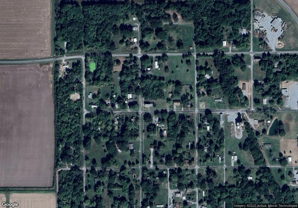
Map
Nearby Homes
- 306 W Dawes St
- 3700 Raleigh Chapel Rd
- 0 County Road 900 N
- 950 Cook Rd
- 7505 Cr 1800e
- 000 Highway 142 N
- 420 Nelson Dr
- 295 Country Acres Rd
- 12324 Rd
- 1000 & 1001 Taylor St
- 400 Old Broughton Rd
- 2417 1st St
- 2301 N Main St
- Lot 1&2 Raleigh Rd
- 304 S Powell St
- Lot 4 Dove Ln
- Lot 3 Dove Ln
- Lot 7 Dove Ln
- Lot 6 Dove Ln
- Lot 13 Dove Ln