Estimated Value: $235,200
--
Bed
2
Baths
2,352
Sq Ft
$100/Sq Ft
Est. Value
About This Home
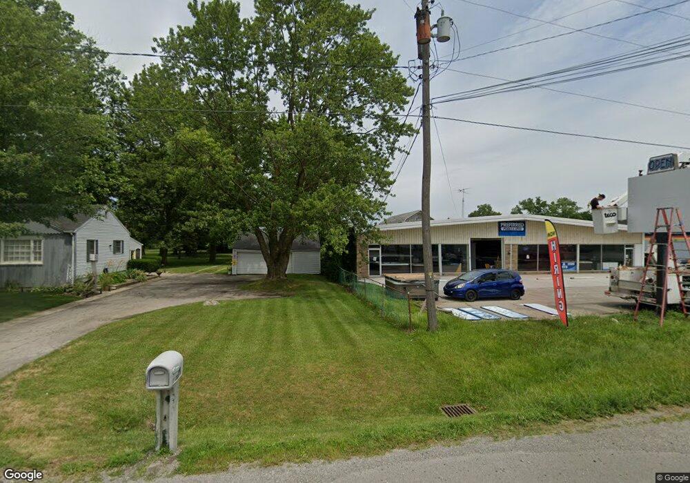
This home is located at 312 W Main St, Delta, OH 43515 and is currently priced at $235,200, approximately $100 per square foot. 312 W Main St is a home located in Fulton County with nearby schools including Delta Elementary School, Pike-Delta-York Middle School, and Pike-Delta-York High School.
Ownership History
Date
Name
Owned For
Owner Type
Purchase Details
Closed on
Jan 10, 2024
Sold by
Miller Cyle and Miller Haley
Bought by
Maumee Rico Properties Llc
Current Estimated Value
Purchase Details
Closed on
Jan 27, 2020
Sold by
Bernath Phillip S
Bought by
Miller Cyle and Miller Haley
Home Financials for this Owner
Home Financials are based on the most recent Mortgage that was taken out on this home.
Original Mortgage
$56,250
Interest Rate
3.73%
Mortgage Type
Future Advance Clause Open End Mortgage
Purchase Details
Closed on
Jan 1, 1990
Bought by
Bernath Simon J and Bernath Willie
Create a Home Valuation Report for This Property
The Home Valuation Report is an in-depth analysis detailing your home's value as well as a comparison with similar homes in the area
Home Values in the Area
Average Home Value in this Area
Purchase History
| Date | Buyer | Sale Price | Title Company |
|---|---|---|---|
| Maumee Rico Properties Llc | $150,000 | Midland Title | |
| Maumee Rico Properties Llc | $150,000 | Midland Title | |
| Miller Cyle | $75,000 | None Available | |
| Bernath Simon J | -- | -- |
Source: Public Records
Mortgage History
| Date | Status | Borrower | Loan Amount |
|---|---|---|---|
| Previous Owner | Miller Cyle | $56,250 |
Source: Public Records
Tax History Compared to Growth
Tax History
| Year | Tax Paid | Tax Assessment Tax Assessment Total Assessment is a certain percentage of the fair market value that is determined by local assessors to be the total taxable value of land and additions on the property. | Land | Improvement |
|---|---|---|---|---|
| 2024 | $2,733 | $41,580 | $16,450 | $25,130 |
| 2023 | $2,742 | $41,580 | $16,450 | $25,130 |
| 2022 | $3,203 | $41,580 | $16,450 | $25,130 |
| 2021 | $3,303 | $41,580 | $16,450 | $25,130 |
| 2020 | $3,322 | $41,580 | $16,450 | $25,130 |
| 2019 | $3,553 | $44,070 | $16,380 | $27,690 |
| 2018 | $7,376 | $90,690 | $16,380 | $74,310 |
| 2017 | $7,342 | $90,690 | $16,380 | $74,310 |
| 2016 | $7,488 | $90,690 | $16,380 | $74,310 |
| 2015 | $7,651 | $90,690 | $16,380 | $74,310 |
| 2014 | $7,452 | $90,690 | $16,380 | $74,310 |
| 2013 | $7,182 | $90,620 | $16,380 | $74,240 |
Source: Public Records
Map
Nearby Homes
- 308 Monroe St
- 207 Wood St
- 413 Fernwood St
- 305 Mckinley St
- 518 Providence St
- 701 Palmwood St
- 908 Fernwood St
- 810 Greenview Ave
- Integrity 1880 Plan at Oregon Town Center
- Integrity 2060 Plan at Oregon Town Center
- Integrity 2000 Plan at Oregon Town Center
- Elements 2700 Plan at Oregon Town Center
- Integrity 2060 Plan at Hidden Ridge Estates
- integrity 1800 Plan at Hidden Ridge Estates
- Integrity 2061 V8.1a Plan at Hidden Ridge Estates
- Integrity 2060 Plan at Three Meadows North
- Integrity 2080 Plan at Oregon Town Center
- Elements 2390 Plan at Oregon Town Center
- Integrity 2061 V8.1a Plan at Oregon Town Center
- Integrity 1460 Plan at Hidden Ridge Estates
- 316 W Main St
- 320 W Main St
- 324 W Main St
- 301 W Main St
- 0 Ohio 109
- * Ohio 109
- 7105 Ohio 109
- 328 W Main St
- 0 Airport Hwy Unit 6020863
- 0 Airport Hwy Unit 5005870
- 0 Airport Hwy Unit 5025051
- 0 Airport Hwy Unit 5045243
- 0 Airport Hwy Unit 5074079
- 0 Airport Hwy Unit 4588421
- 0 Airport Hwy Unit 9001891
- 0 Airport Hwy Unit 9001897
- 0 Airport Hwy Unit 4601791
- 0 Airport Hwy Unit 5098990
- 321 Main St
- 247 W Main St