312 W Main St Stanford, IL 61774
Estimated Value: $292,000
--
Bed
1
Bath
1,092
Sq Ft
$267/Sq Ft
Est. Value
About This Home
This home is located at 312 W Main St, Stanford, IL 61774 and is currently estimated at $292,000, approximately $267 per square foot. 312 W Main St is a home with nearby schools including Olympia High School.
Ownership History
Date
Name
Owned For
Owner Type
Purchase Details
Closed on
Jun 21, 2022
Sold by
Afs Land Trust
Bought by
Cochran Norman V
Current Estimated Value
Purchase Details
Closed on
Jun 11, 2010
Sold by
Embry Sheree
Bought by
Afs Land Trust #2010 & N1
Purchase Details
Closed on
Sep 24, 2007
Sold by
Nesbitt Joseph G and Nesbitt Alice M
Bought by
Embry Sheree
Purchase Details
Closed on
Nov 12, 2004
Sold by
Stoller James J
Bought by
Nesbitt Joseph G and Nesbitt Alice
Create a Home Valuation Report for This Property
The Home Valuation Report is an in-depth analysis detailing your home's value as well as a comparison with similar homes in the area
Home Values in the Area
Average Home Value in this Area
Purchase History
| Date | Buyer | Sale Price | Title Company |
|---|---|---|---|
| Cochran Norman V | $29,833 | None Listed On Document | |
| Afs Land Trust #2010 & N1 | -- | None Available | |
| Embry Sheree | -- | None Available | |
| Nesbitt Joseph G | $15,000 | None Available |
Source: Public Records
Tax History Compared to Growth
Tax History
| Year | Tax Paid | Tax Assessment Tax Assessment Total Assessment is a certain percentage of the fair market value that is determined by local assessors to be the total taxable value of land and additions on the property. | Land | Improvement |
|---|---|---|---|---|
| 2024 | $214 | $2,567 | $2,567 | -- |
| 2022 | $214 | $2,077 | $2,077 | $0 |
| 2021 | $202 | $1,972 | $1,972 | $0 |
| 2020 | $196 | $1,901 | $1,901 | $0 |
| 2019 | $198 | $1,901 | $1,901 | $0 |
| 2018 | $190 | $1,812 | $1,812 | $0 |
| 2017 | $190 | $1,812 | $1,812 | $0 |
| 2016 | $195 | $1,847 | $1,847 | $0 |
| 2015 | $190 | $1,847 | $1,847 | $0 |
| 2014 | $183 | $1,847 | $1,847 | $0 |
| 2013 | -- | $1,805 | $1,805 | $0 |
Source: Public Records
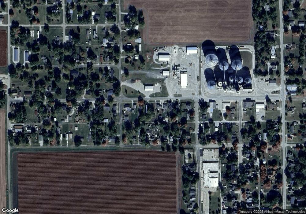
Map
Nearby Homes
- 305 W Boundary St
- 106 W Boundary St
- 407 W Boundary St
- 109 S Eastern Ave
- 314 S Maple Ave
- 613 N School St
- 510 N Maple Ave
- 302 N Minier Ave
- 210 W Olive St
- 16555 Mclean Rd
- 3625 N 400 Rd E
- 14089 Jean Trace
- 114 W North St
- 209 N West St
- 8468 Carriage Hills Rd
- 2988 N 400 Rd E
- 9030 Hardesty Run
- 13765 Deer Ridge Rd
- 202 N Griffin St
- 2540 N 400 East Rd
- 310 W Main St
- 316 W Main St
- 308 W Main St
- 318 W Main St
- 306 W Main St
- 320 W Main St
- 304 W Main St
- 311 W Boundary St
- 313 W Boundary St
- 309 W Boundary St
- 315 W Boundary St
- 307 W Boundary St
- 317 W Boundary St
- 100 S Grant Ave
- 102 S Grant Ave
- 100 N Blackstone Ave
- 100 N Blackstone Ave
- 303 W Boundary St
- 400 W Main St
- 319 W Boundary St