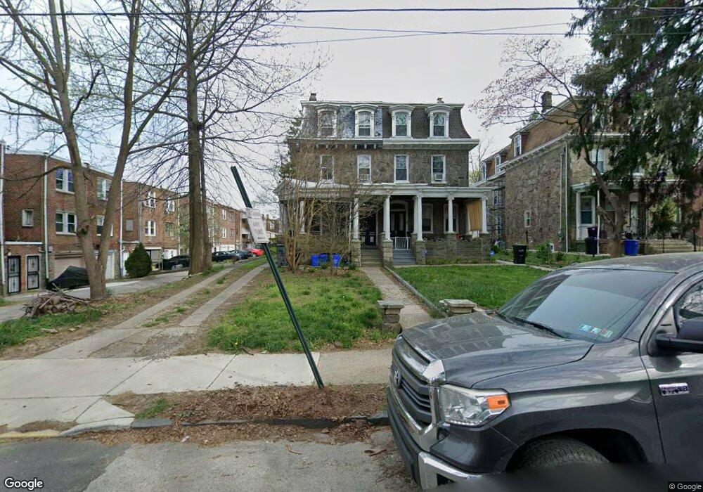
312 W Seymour St Philadelphia, PA 19144
Germantown NeighborhoodEstimated Value: $406,000 - $411,000
4
Beds
2
Baths
1,500
Sq Ft
$272/Sq Ft
Est. Value
About This Home
This home is located at 312 W Seymour St, Philadelphia, PA 19144 and is currently estimated at $408,500, approximately $272 per square foot. 312 W Seymour St is a home located in Philadelphia County with nearby schools including John B. Kelly School, Roosevelt Theodore Middle School, and Martin Luther King High School.
Ownership History
Date
Name
Owned For
Owner Type
Purchase Details
Closed on
May 2, 2003
Sold by
Norton Vincent E
Bought by
Ross William H
Current Estimated Value
Home Financials for this Owner
Home Financials are based on the most recent Mortgage that was taken out on this home.
Original Mortgage
$112,500
Outstanding Balance
$49,144
Interest Rate
5.86%
Mortgage Type
Commercial
Estimated Equity
$359,356
Purchase Details
Closed on
Oct 15, 2001
Sold by
Smith G Kevin and Smith Gerald K
Bought by
Philadelphia Fcu
Purchase Details
Closed on
Jan 22, 1995
Sold by
Smith Gerald K and Smith Gerald K
Bought by
Smith Gerald K
Create a Home Valuation Report for This Property
The Home Valuation Report is an in-depth analysis detailing your home's value as well as a comparison with similar homes in the area
Home Values in the Area
Average Home Value in this Area
Purchase History
| Date | Buyer | Sale Price | Title Company |
|---|---|---|---|
| Ross William H | $86,000 | -- | |
| Philadelphia Fcu | $25,000 | -- | |
| Smith Gerald K | -- | -- |
Source: Public Records
Mortgage History
| Date | Status | Borrower | Loan Amount |
|---|---|---|---|
| Open | Ross William H | $112,500 |
Source: Public Records
Tax History Compared to Growth
Tax History
| Year | Tax Paid | Tax Assessment Tax Assessment Total Assessment is a certain percentage of the fair market value that is determined by local assessors to be the total taxable value of land and additions on the property. | Land | Improvement |
|---|---|---|---|---|
| 2025 | $3,999 | $376,400 | $75,280 | $301,120 |
| 2024 | $3,999 | $376,400 | $75,280 | $301,120 |
| 2023 | $3,999 | $285,700 | $57,140 | $228,560 |
| 2022 | $2,627 | $285,700 | $57,140 | $228,560 |
| 2021 | $2,627 | $0 | $0 | $0 |
| 2020 | $2,627 | $0 | $0 | $0 |
| 2019 | $2,592 | $0 | $0 | $0 |
| 2018 | $2,643 | $0 | $0 | $0 |
| 2017 | $2,643 | $0 | $0 | $0 |
| 2016 | $2,643 | $0 | $0 | $0 |
| 2015 | $2,530 | $0 | $0 | $0 |
| 2014 | -- | $188,800 | $46,294 | $142,506 |
| 2012 | -- | $19,200 | $3,130 | $16,070 |
Source: Public Records
Map
Nearby Homes
- 4845 Pulaski Ave
- 228 W Seymour St
- 5027 Morris St
- 4641 Fernhill Rd
- 4634 Fernhill Rd
- 419 W Clapier St
- 4623 Pulaski Ave
- 214 W Abbottsford Ave
- 178 W Manheim St
- 5125 Newhall St
- 173 W Wyneva St
- 5128 Newhall St
- 4551 Pulaski Ave
- 5037 Keyser St
- 4545 Morris St
- 4544 Fernhill Rd
- 5138 Newhall St
- 4545 Pulaski Ave
- 5044 Erringer Place
- 4534 Fernhill Rd
- 312 W Seymour St Unit 3
- 312 W Seymour St Unit 1
- 312 W Seymour St Unit 2
- 314 W Seymour St
- 316 W Seymour St
- 4946 Pulaski Ave
- 4944 Pulaski Ave
- 4948 Pulaski Ave
- 4942 Pulaski Ave
- 4940 Pulaski Ave
- 4938 Pulaski Ave
- 318 W Seymour St
- 4950 Pulaski Ave
- 4952 Pulaski Ave
- 4936 Pulaski Ave
- 320 W Seymour St
- 4934 Pulaski Ave
- 4932 Pulaski Ave
- 322 W Seymour St
- 4930 Pulaski Ave