Estimated Value: $245,728 - $266,000
4
Beds
1
Bath
1,872
Sq Ft
$136/Sq Ft
Est. Value
About This Home
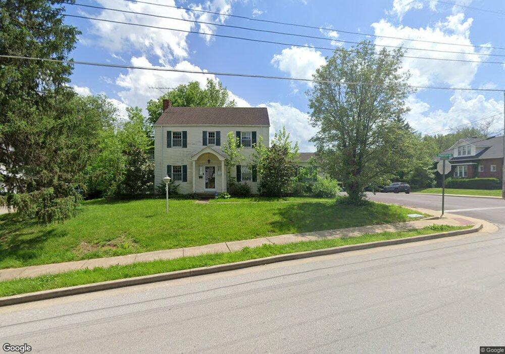
This home is located at 312 W Springfield Ave, Union, MO 63084 and is currently estimated at $254,243, approximately $135 per square foot. 312 W Springfield Ave is a home located in Franklin County with nearby schools including Union High School and Immaculate Conception School.
Ownership History
Date
Name
Owned For
Owner Type
Purchase Details
Closed on
Jan 12, 2009
Sold by
Dennigmann Carol A and Dennigmann Daniel D
Bought by
Dennigmann Carol and Carol Dennigmann Revocable Trust
Current Estimated Value
Purchase Details
Closed on
Jun 29, 2005
Sold by
Brown Eugnene F and Brown Nancy L
Bought by
Dennigmann Daniel D and Dennigmann Carol A
Home Financials for this Owner
Home Financials are based on the most recent Mortgage that was taken out on this home.
Original Mortgage
$40,000
Interest Rate
5.64%
Mortgage Type
Purchase Money Mortgage
Create a Home Valuation Report for This Property
The Home Valuation Report is an in-depth analysis detailing your home's value as well as a comparison with similar homes in the area
Home Values in the Area
Average Home Value in this Area
Purchase History
| Date | Buyer | Sale Price | Title Company |
|---|---|---|---|
| Dennigmann Carol | -- | None Available | |
| Dennigmann Daniel D | -- | None Available |
Source: Public Records
Mortgage History
| Date | Status | Borrower | Loan Amount |
|---|---|---|---|
| Previous Owner | Dennigmann Daniel D | $40,000 |
Source: Public Records
Tax History
| Year | Tax Paid | Tax Assessment Tax Assessment Total Assessment is a certain percentage of the fair market value that is determined by local assessors to be the total taxable value of land and additions on the property. | Land | Improvement |
|---|---|---|---|---|
| 2025 | $1,930 | $32,367 | $0 | $0 |
| 2024 | $1,930 | $29,578 | $0 | $0 |
| 2023 | $1,783 | $29,578 | $0 | $0 |
| 2022 | $1,693 | $28,039 | $0 | $0 |
| 2021 | $1,696 | $28,039 | $0 | $0 |
| 2020 | $1,562 | $25,413 | $0 | $0 |
| 2019 | $1,559 | $25,413 | $0 | $0 |
| 2018 | $1,452 | $24,841 | $0 | $0 |
| 2017 | $1,456 | $24,841 | $0 | $0 |
| 2016 | $1,383 | $23,067 | $0 | $0 |
| 2015 | $1,361 | $23,067 | $0 | $0 |
| 2014 | $1,377 | $23,336 | $0 | $0 |
Source: Public Records
Map
Nearby Homes
- 408 Hall Ave
- 413 W State St
- 413 Rosedale Ave
- 725 W Main St
- 605 S Jefferson Ave
- 613 W State St
- 613 S Jefferson Ave
- 4 Lindner Ln
- 154 Joel Ave
- 914 W State St
- 0 Lot 4 Clearview Dr Unit 19010507
- 0 Lot 6 Clearview Dr Unit 19010511
- 0 Clearview Unit 19010495
- 0 Lot 5 Clearview Dr Unit 19010510
- 0 Lot 3 Clearview Dr Unit MIS26011988
- 614 E State St
- 207 E Park Ave
- 702 Clearview Dr Unit 1
- 724 E State St
- 300 Bourbeuse Rd
- 308 W Springfield Ave
- 400 Hoover Ave
- 313 W Springfield Ave
- 317 W Springfield Ave
- 402 Hoover Ave
- 304 W Springfield Ave
- 400 W Springfield Ave
- 321 W Springfield Ave
- 311 W Springfield Ave
- 404 Hoover Ave
- 302 W Springfield Ave
- 323 W Springfield Ave
- 307 W Springfield Ave
- 406 Hoover Ave
- 406 W Springfield Ave
- 305 W Springfield Ave
- 322 Marguerite St
- 325 W Springfield Ave
- 300 W Springfield Ave
- 316 Marguerite St
Your Personal Tour Guide
Ask me questions while you tour the home.