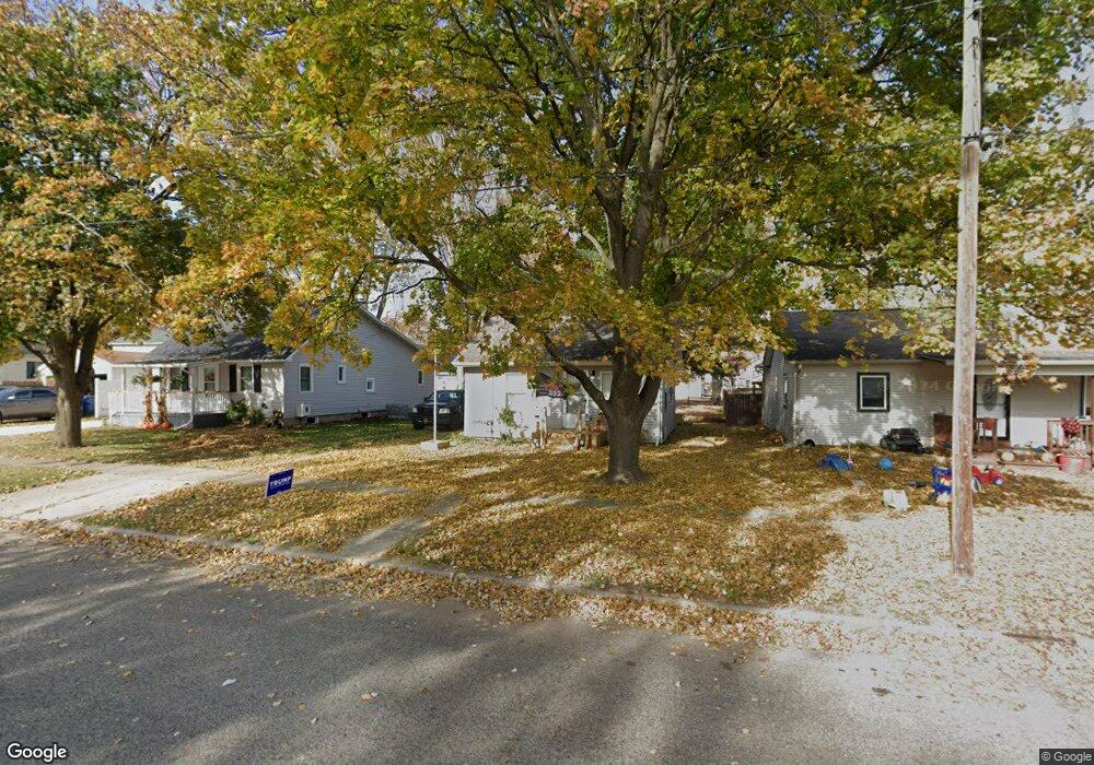
312 W Williams St Corunna, MI 48817
Estimated Value: $63,938 - $103,000
1
Bed
1
Bath
528
Sq Ft
$153/Sq Ft
Est. Value
About This Home
This home is located at 312 W Williams St, Corunna, MI 48817 and is currently estimated at $80,985, approximately $153 per square foot. 312 W Williams St is a home located in Shiawassee County with nearby schools including Corunna High School, St. Paul Catholic School, and St. Joseph School.
Ownership History
Date
Name
Owned For
Owner Type
Purchase Details
Closed on
Feb 24, 2011
Sold by
Homesales Inc
Bought by
Young Kimberly S
Current Estimated Value
Purchase Details
Closed on
Mar 3, 2010
Sold by
Popler Michael E
Bought by
Chase Home Finance Llc
Purchase Details
Closed on
Apr 28, 2004
Sold by
Gavin Jerome P and Gavin Georgiana M
Bought by
Popler Michael E
Home Financials for this Owner
Home Financials are based on the most recent Mortgage that was taken out on this home.
Original Mortgage
$50,150
Interest Rate
5.5%
Mortgage Type
Purchase Money Mortgage
Create a Home Valuation Report for This Property
The Home Valuation Report is an in-depth analysis detailing your home's value as well as a comparison with similar homes in the area
Home Values in the Area
Average Home Value in this Area
Purchase History
| Date | Buyer | Sale Price | Title Company |
|---|---|---|---|
| Young Kimberly S | $6,000 | -- | |
| Homesales Inc | -- | -- | |
| Chase Home Finance Llc | $17,000 | -- | |
| Popler Michael E | $49,000 | Metropolitan Title Company |
Source: Public Records
Mortgage History
| Date | Status | Borrower | Loan Amount |
|---|---|---|---|
| Previous Owner | Popler Michael E | $50,150 |
Source: Public Records
Tax History Compared to Growth
Tax History
| Year | Tax Paid | Tax Assessment Tax Assessment Total Assessment is a certain percentage of the fair market value that is determined by local assessors to be the total taxable value of land and additions on the property. | Land | Improvement |
|---|---|---|---|---|
| 2025 | $896 | $21,400 | $0 | $0 |
| 2024 | $819 | $15,900 | $0 | $0 |
| 2023 | $403 | $16,100 | $0 | $0 |
| 2022 | $386 | $15,100 | $0 | $0 |
| 2021 | $761 | $13,800 | $0 | $0 |
| 2020 | $750 | $13,200 | $0 | $0 |
| 2019 | $693 | $12,300 | $0 | $0 |
| 2018 | $723 | $12,200 | $0 | $0 |
| 2017 | $703 | $12,600 | $0 | $0 |
| 2016 | -- | $12,600 | $0 | $0 |
| 2015 | -- | $11,600 | $0 | $0 |
| 2014 | $5 | $11,200 | $0 | $0 |
Source: Public Records
Map
Nearby Homes
- 120 W Mcneil St
- 212 W State St
- 318 S Shiawassee St
- 201 N Woodworth St
- 411 S Shiawassee St
- 323 S Brady St
- 304 W Corunna Ave
- 105 S Comstock St
- 607 E King St
- 637 Woodvalley Dr
- 644 Hillside Dr
- Parcel A Aiken Rd
- 2834 S State Rd
- 3200 E M 21
- V/L E Main St
- 1856 Owosso Ave
- V/L E M 21
- 1605 Corunna Ave
- 628 Aiken St
- 205 Sylvia Dr
- 314 W Williams St
- 304 W Williams St
- 302 W Williams St
- 219 S Mizner St
- 215 S Mizner St
- 303 W Oliver St
- 311 W Williams St
- 305 W Williams St
- 319 W Oliver St
- 319 W Oliver St Unit 321 W Oliver
- 220 W Williams St
- 301 W Williams St
- 0 S Mizner St Unit G31144247
- 301 S Mizner St
- 216 W Williams St
- 219 W Oliver St
- 215 W Williams St
- 217 W Oliver St
- 230 S Mizner St
- 213 W Williams St