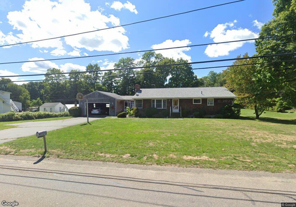
312 Williams St North Dighton, MA 02764
Estimated Value: $484,000 - $526,000
3
Beds
1
Bath
1,344
Sq Ft
$372/Sq Ft
Est. Value
About This Home
This home is located at 312 Williams St, North Dighton, MA 02764 and is currently estimated at $500,037, approximately $372 per square foot. 312 Williams St is a home located in Bristol County with nearby schools including Dighton-Rehoboth Regional High School and Cedar Brook School.
Ownership History
Date
Name
Owned For
Owner Type
Purchase Details
Closed on
Aug 2, 2018
Sold by
Gatturna Elizabeth
Bought by
Pontes Edward and Pontes Edward M
Current Estimated Value
Purchase Details
Closed on
Jul 30, 2003
Sold by
Pontes Edward
Bought by
Bliss Donna M and Pontes Edward
Purchase Details
Closed on
Oct 13, 1967
Bought by
Bliss Donna M and Pontes Edward
Create a Home Valuation Report for This Property
The Home Valuation Report is an in-depth analysis detailing your home's value as well as a comparison with similar homes in the area
Home Values in the Area
Average Home Value in this Area
Purchase History
| Date | Buyer | Sale Price | Title Company |
|---|---|---|---|
| Pontes Edward | -- | -- | |
| Bliss Donna M | -- | -- | |
| Bliss Donna M | -- | -- |
Source: Public Records
Mortgage History
| Date | Status | Borrower | Loan Amount |
|---|---|---|---|
| Previous Owner | Bliss Donna M | $75,000 |
Source: Public Records
Tax History Compared to Growth
Tax History
| Year | Tax Paid | Tax Assessment Tax Assessment Total Assessment is a certain percentage of the fair market value that is determined by local assessors to be the total taxable value of land and additions on the property. | Land | Improvement |
|---|---|---|---|---|
| 2025 | $4,822 | $383,900 | $131,500 | $252,400 |
| 2024 | $4,817 | $352,100 | $131,500 | $220,600 |
| 2023 | $4,596 | $329,700 | $131,500 | $198,200 |
| 2022 | $4,430 | $310,000 | $128,400 | $181,600 |
| 2021 | $4,189 | $282,500 | $115,800 | $166,700 |
| 2020 | $0 | $285,800 | $129,600 | $156,200 |
| 2019 | $0 | $268,000 | $129,600 | $138,400 |
| 2018 | $3,677 | $247,300 | $109,800 | $137,500 |
| 2017 | $0 | $241,000 | $127,900 | $113,100 |
| 2016 | $3,608 | $236,900 | $131,700 | $105,200 |
| 2015 | $3,570 | $241,200 | $135,600 | $105,600 |
| 2014 | $3,579 | $235,000 | $135,600 | $99,400 |
Source: Public Records
Map
Nearby Homes
- 301 Williams St
- 2181 Wheeler St
- 1421 Tremont St
- 1401 Tremont St
- 1680 Maple St
- 593 Williams St
- 1565 Maple St
- 0 Monteiro Unit 71870472
- 701 Winthrop St Unit 312
- 701 Winthrop St Unit 313
- 1945 Putters Way
- 0 Range Ave Unit 72771509
- 0 Range Ave Unit 72771508
- 2045 Winthrop St
- 343 Forest St
- 876 Autumn St
- 2136 Winthrop St
- 810 Tremont St
- 233-R Summer St
- 0 Summer St
- 300 Williams St
- 324 Williams St
- LOT 0 Debra Jane Ct
- LOT 8 Council Oak Way
- LOTS Manomet Ave
- 1505 Wheeler St
- 325 Williams St
- 346 Williams St
- 343 Williams St
- 295 Williams St
- Lot 2 Wheeler St
- Lot 3 Wheeler St
- 1531 Wheeler St
- 3 Wheeler St
- 2 Wheeler St
- 1530 Stanzione Dr
- 1526 Stanzione Dr
- 1549 Wheeler St
- 1500 Stanzione Dr
- 1520 Stanzione Dr