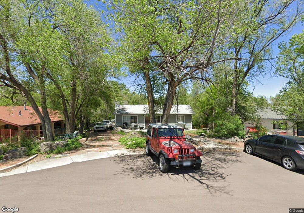
312 Yucca Cir Colorado Springs, CO 80905
Ivywild NeighborhoodEstimated Value: $427,000 - $521,000
3
Beds
3
Baths
1,040
Sq Ft
$440/Sq Ft
Est. Value
About This Home
This home is located at 312 Yucca Cir, Colorado Springs, CO 80905 and is currently estimated at $457,160, approximately $439 per square foot. 312 Yucca Cir is a home located in El Paso County with nearby schools including Adams Elementary School, North Middle School, and William J. Palmer High School.
Ownership History
Date
Name
Owned For
Owner Type
Purchase Details
Closed on
Dec 21, 1999
Sold by
Williams Rogers L and Williams Angela C
Bought by
Johnson Steve W
Current Estimated Value
Home Financials for this Owner
Home Financials are based on the most recent Mortgage that was taken out on this home.
Original Mortgage
$112,781
Outstanding Balance
$34,906
Interest Rate
7.71%
Mortgage Type
FHA
Estimated Equity
$422,254
Purchase Details
Closed on
Jan 1, 1982
Bought by
Johnson Steve W
Create a Home Valuation Report for This Property
The Home Valuation Report is an in-depth analysis detailing your home's value as well as a comparison with similar homes in the area
Home Values in the Area
Average Home Value in this Area
Purchase History
| Date | Buyer | Sale Price | Title Company |
|---|---|---|---|
| Johnson Steve W | $113,000 | First American | |
| Johnson Steve W | -- | -- |
Source: Public Records
Mortgage History
| Date | Status | Borrower | Loan Amount |
|---|---|---|---|
| Open | Johnson Steve W | $112,781 |
Source: Public Records
Tax History Compared to Growth
Tax History
| Year | Tax Paid | Tax Assessment Tax Assessment Total Assessment is a certain percentage of the fair market value that is determined by local assessors to be the total taxable value of land and additions on the property. | Land | Improvement |
|---|---|---|---|---|
| 2025 | $1,563 | $33,830 | -- | -- |
| 2024 | $1,448 | $32,550 | $4,620 | $27,930 |
| 2022 | $1,138 | $20,330 | $3,820 | $16,510 |
| 2021 | $1,234 | $20,910 | $3,930 | $16,980 |
| 2020 | $1,158 | $17,060 | $3,290 | $13,770 |
| 2019 | $1,152 | $17,060 | $3,290 | $13,770 |
| 2018 | $1,076 | $14,660 | $2,740 | $11,920 |
| 2017 | $1,019 | $14,660 | $2,740 | $11,920 |
| 2016 | $800 | $13,800 | $2,790 | $11,010 |
| 2015 | $797 | $13,800 | $2,790 | $11,010 |
| 2014 | $783 | $13,010 | $2,630 | $10,380 |
Source: Public Records
Map
Nearby Homes
- 219 W Ramona Ave
- 229-231 Crestone Ave
- 1611 Lorraine St
- 326 W Ramona Ave
- 1510 S Cascade Ave
- 308 Laclede Ave
- 313 Laclede Ave
- 312 Cheyenne Blvd
- 403 Laclede Ave
- 1824 Lorraine St
- 416 Cheyenne Blvd
- 31 Noyer Ct
- 25 Noyer Ct
- 19 Noyer Ct
- 13 Noyer Ct
- 7 Noyer Ct
- 164 Creekside Ln
- 6 Alsace Way
- 125 Terrace Dr
- 23 Newport Cir
- 308 Yucca Cir
- 356 Yucca Cir
- 211 W Navajo St
- 408 Yucca Dr
- 201 W Navajo St
- 220 W Navajo St
- 218 W Navajo St
- 222 W Navajo St
- 410 Yucca Dr
- 224 W Navajo St
- 214 W Navajo St
- 302 Yucca Cir
- 208 W Navajo St
- 1604 Dorchester Dr
- 1608 Dorchester Dr
- 1602 Dorchester Dr
- 301 Yucca Cir
- 206 W Navajo St
- 299 Yucca Cir
- 1626 Dorchester Place