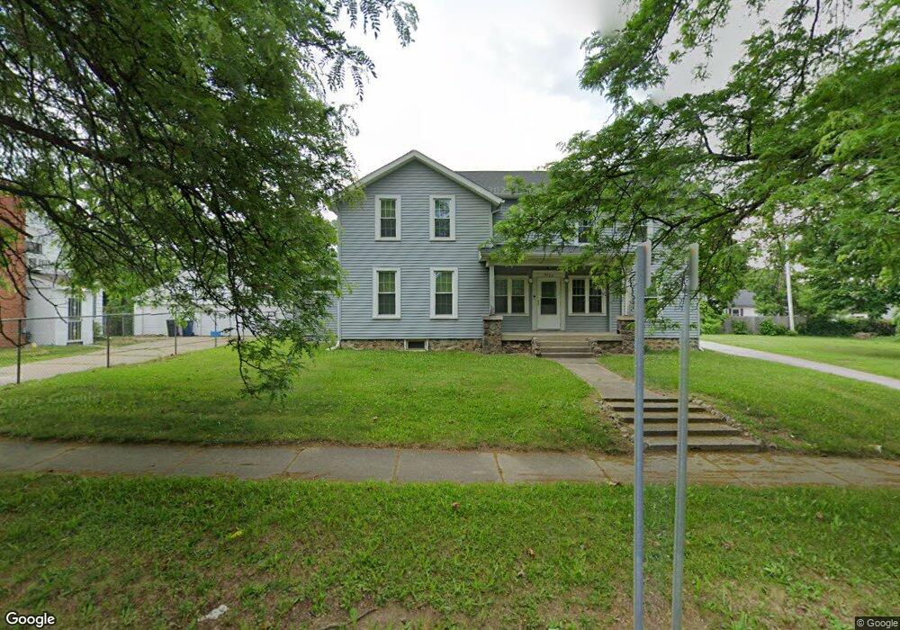
3120 Beecher Rd Flint, MI 48503
Glendale NeighborhoodEstimated Value: $78,000 - $165,246
2
Beds
1
Bath
858
Sq Ft
$153/Sq Ft
Est. Value
About This Home
This home is located at 3120 Beecher Rd, Flint, MI 48503 and is currently estimated at $131,312, approximately $153 per square foot. 3120 Beecher Rd is a home located in Genesee County with nearby schools including Durant-Tuuri-Mott Elementary School, St. Paul Lutheran School, and First Flint Seventh-day Adventist Christian School.
Ownership History
Date
Name
Owned For
Owner Type
Purchase Details
Closed on
Aug 8, 2014
Sold by
Adams Victor
Bought by
Giles Malcolm
Current Estimated Value
Purchase Details
Closed on
Nov 4, 2009
Sold by
West Renee P
Bought by
Deutsche Bank National Trust Company
Purchase Details
Closed on
Oct 24, 2006
Sold by
Fauth Renee P and West Renee P
Bought by
West Renee P
Purchase Details
Closed on
Jan 28, 2003
Sold by
Fauth Gregory C
Bought by
Fauth Renee P
Create a Home Valuation Report for This Property
The Home Valuation Report is an in-depth analysis detailing your home's value as well as a comparison with similar homes in the area
Home Values in the Area
Average Home Value in this Area
Purchase History
| Date | Buyer | Sale Price | Title Company |
|---|---|---|---|
| Giles Malcolm | $2,500 | Cislo Title Company | |
| Deutsche Bank National Trust Company | $46,750 | None Available | |
| West Renee P | -- | None Available | |
| Fauth Renee P | -- | -- |
Source: Public Records
Tax History
| Year | Tax Paid | Tax Assessment Tax Assessment Total Assessment is a certain percentage of the fair market value that is determined by local assessors to be the total taxable value of land and additions on the property. | Land | Improvement |
|---|---|---|---|---|
| 2025 | $2,435 | $62,700 | $0 | $0 |
| 2024 | $2,227 | $51,700 | $0 | $0 |
| 2023 | $2,153 | $38,300 | $0 | $0 |
| 2022 | $0 | $30,600 | $0 | $0 |
| 2021 | $2,197 | $30,400 | $0 | $0 |
| 2020 | $1,991 | $27,500 | $0 | $0 |
| 2019 | $1,923 | $27,000 | $0 | $0 |
| 2018 | $2,144 | $25,200 | $0 | $0 |
| 2017 | $1,668 | $0 | $0 | $0 |
| 2016 | $1,589 | $0 | $0 | $0 |
| 2015 | -- | $0 | $0 | $0 |
| 2014 | -- | $0 | $0 | $0 |
| 2012 | -- | $32,300 | $0 | $0 |
Source: Public Records
Map
Nearby Homes
- 911 Hughes Ave
- 3302 Van Buren Ave
- 2710 Mansfield Ave
- 916 Mann Ave
- 932 Bradley Ave
- 3405 Sherwood Dr
- 2663 W Court St
- 3517 Norwood Dr
- 960 Mann Ave
- 3320 Pencombe Place
- 976 Barney Ave
- 0000 Beecher Rd
- 320 Sheffield Ave
- 3617 Sherwood Dr
- 1017 Stocker Ave
- 314 Sheffield Ave
- 3709 Brentwood Dr
- 2805 Reynolds St
- 945 Salisbury Ave
- 1114 Clancy Ave
- 3209 Norwood Dr
- 3205 Norwood Dr
- 3106 Beecher Rd
- 3201 Norwood Dr
- 3213 Norwood Dr
- 3202 Beecher Rd
- 3102 Beecher Rd
- 3221 Norwood Dr
- 3117 Beecher Rd
- 3109 Beecher Rd
- 3125 Beecher Rd
- 3030 Beecher Rd
- 3131 Norwood Dr
- 3121 Norwood Dr
- 3229 Norwood Dr
- 3026 Beecher Rd
- 3206 Norwood Dr
- 3210 Norwood Dr
- 3202 Norwood Dr
- 3132 Norwood Dr
Your Personal Tour Guide
Ask me questions while you tour the home.