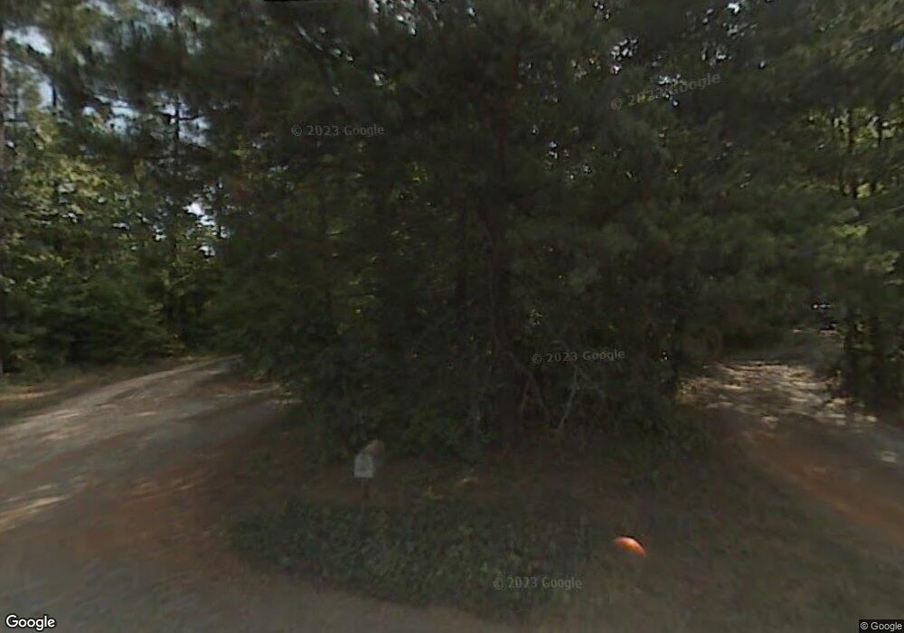
3120 Shamrock Rd Hillsborough, NC 27278
Estimated Value: $519,000 - $645,274
3
Beds
2
Baths
1,750
Sq Ft
$330/Sq Ft
Est. Value
About This Home
This home is located at 3120 Shamrock Rd, Hillsborough, NC 27278 and is currently estimated at $576,758, approximately $329 per square foot. 3120 Shamrock Rd is a home with nearby schools including Grady Brown Elementary School, A.L. Stanback Middle School, and Cedar Ridge High.
Ownership History
Date
Name
Owned For
Owner Type
Purchase Details
Closed on
Jul 13, 2006
Sold by
Simpson Dennis A and Falchi Jennifer
Bought by
Simpson Dennis A
Current Estimated Value
Home Financials for this Owner
Home Financials are based on the most recent Mortgage that was taken out on this home.
Original Mortgage
$158,000
Interest Rate
6.54%
Mortgage Type
New Conventional
Create a Home Valuation Report for This Property
The Home Valuation Report is an in-depth analysis detailing your home's value as well as a comparison with similar homes in the area
Home Values in the Area
Average Home Value in this Area
Purchase History
| Date | Buyer | Sale Price | Title Company |
|---|---|---|---|
| Simpson Dennis A | -- | None Available |
Source: Public Records
Mortgage History
| Date | Status | Borrower | Loan Amount |
|---|---|---|---|
| Closed | Simpson Dennis A | $158,000 |
Source: Public Records
Tax History Compared to Growth
Tax History
| Year | Tax Paid | Tax Assessment Tax Assessment Total Assessment is a certain percentage of the fair market value that is determined by local assessors to be the total taxable value of land and additions on the property. | Land | Improvement |
|---|---|---|---|---|
| 2025 | $4,366 | $578,800 | $298,800 | $280,000 |
| 2024 | $3,427 | $336,400 | $116,300 | $220,100 |
| 2023 | $3,305 | $336,400 | $116,300 | $220,100 |
| 2022 | $3,257 | $336,400 | $116,300 | $220,100 |
| 2021 | $3,215 | $336,400 | $116,300 | $220,100 |
| 2020 | $3,073 | $304,500 | $97,900 | $206,600 |
| 2018 | $3,000 | $304,500 | $97,900 | $206,600 |
| 2017 | $2,943 | $304,500 | $97,900 | $206,600 |
| 2016 | $2,943 | $294,927 | $89,545 | $205,382 |
| 2015 | $2,943 | $294,927 | $89,545 | $205,382 |
| 2014 | $2,894 | $294,927 | $89,545 | $205,382 |
Source: Public Records
Map
Nearby Homes
- 00 Ode Turner Rd
- 2418 Crossroads Ave
- 2013 Peninsula Ln
- 0 Davis Rd Unit 1189441
- 0 Davis Rd Unit 10115163
- 2415 Davis Rd
- 806 Davis Rd
- 1423 Davis Rd
- 2707 Moorefields Rd
- 2201 Moorefields Rd
- 300 Oak Ridge Dr
- 319 Davis Rd
- 2601 Myrtle Ln
- 2606 Brick Hearth Dr
- 408 Patriot Place
- 675 Oakdale Dr
- 2310 Hardwood Dr
- 2304 Hardwood Dr
- 1600 Valley Creek Dr
- 1455 Dimmocks Mill Rd
- 1801 Steadfast Rd
- 1807 Steadfast Rd
- 3116 Shamrock Rd Unit 27278
- 1800 Steadfast Rd Unit 27278
- 3208 Shamrock Rd
- 1919 Crossroads Ch Cemetery Rd
- 1919 Crossroads Church Cemetery Rd
- 00 Steadfast Rd
- LOT 2 Steadfast Rd
- 3102 Shamrock Rd
- LOT 20 Shamrock Rd
- 3119 Shamrock Rd
- 3201 Shamrock Rd
- 3117 Shamrock Rd
- 1808 Steadfast Rd
- 3205 Shamrock Rd
- 1812 Steadfast Rd
- 3115 Shamrock Rd
- 1816 Steadfast Rd
- 3221 Shamrock Rd
