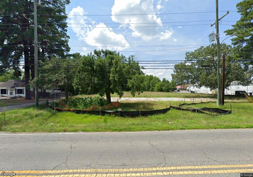
3120 Tyre Neck Rd Portsmouth, VA 23703
Churchland NeighborhoodEstimated Value: $393,387
--
Bed
--
Bath
2,968
Sq Ft
$133/Sq Ft
Est. Value
About This Home
This home is located at 3120 Tyre Neck Rd, Portsmouth, VA 23703 and is currently estimated at $393,387, approximately $132 per square foot. 3120 Tyre Neck Rd is a home located in Portsmouth City with nearby schools including Churchland Elementary School, Churchland Academy Elementary School, and Churchland Middle School.
Ownership History
Date
Name
Owned For
Owner Type
Purchase Details
Closed on
Sep 29, 2021
Sold by
The Churchland Swim And Racquet Club Inc
Bought by
Pashm Land Development Llc
Current Estimated Value
Home Financials for this Owner
Home Financials are based on the most recent Mortgage that was taken out on this home.
Original Mortgage
$261,000
Outstanding Balance
$237,491
Interest Rate
2.8%
Mortgage Type
Future Advance Clause Open End Mortgage
Estimated Equity
$155,896
Create a Home Valuation Report for This Property
The Home Valuation Report is an in-depth analysis detailing your home's value as well as a comparison with similar homes in the area
Home Values in the Area
Average Home Value in this Area
Purchase History
| Date | Buyer | Sale Price | Title Company |
|---|---|---|---|
| Pashm Land Development Llc | $320,000 | Attorney |
Source: Public Records
Mortgage History
| Date | Status | Borrower | Loan Amount |
|---|---|---|---|
| Open | Pashm Land Development Llc | $261,000 |
Source: Public Records
Tax History Compared to Growth
Tax History
| Year | Tax Paid | Tax Assessment Tax Assessment Total Assessment is a certain percentage of the fair market value that is determined by local assessors to be the total taxable value of land and additions on the property. | Land | Improvement |
|---|---|---|---|---|
| 2025 | $7,269 | $419,980 | $419,980 | $0 |
| 2024 | $7,269 | $419,980 | $419,980 | $0 |
| 2023 | $5,250 | $419,980 | $419,980 | $0 |
| 2022 | $8,555 | $658,110 | $419,980 | $238,130 |
| 2021 | $8,555 | $658,110 | $419,980 | $238,130 |
| 2020 | $8,555 | $658,110 | $419,980 | $238,130 |
| 2019 | $7,667 | $589,770 | $351,640 | $238,130 |
| 2018 | $7,667 | $589,770 | $351,640 | $238,130 |
| 2017 | $7,667 | $589,770 | $351,640 | $238,130 |
| 2016 | $7,667 | $589,770 | $351,640 | $238,130 |
| 2015 | $7,667 | $589,770 | $351,640 | $238,130 |
| 2014 | $7,490 | $589,770 | $351,640 | $238,130 |
Source: Public Records
Map
Nearby Homes
- 1004 Christiana Cir
- 1047 Christiana Cir Unit 40
- 3408 Kenley Ct
- 3110 Sterling Way Unit 62
- 3209 Tyre Neck Rd
- 3317 Foxgrove Ln
- 3101 Laurel Ln
- 5304 High St W
- 6002 Campbell St
- 5302 High St W
- 6205 Dunkirk St
- 5911 Dunkirk St
- 3432 Carter Rd
- 5516 Bingham Dr
- 3917 Oak Dr E
- 4323 Stafford Dr
- 3315 Camellia Dr
- 3604 Pierce St
- 6015 Arthur Ave
- 3236 Bruin Dr
- 3118 Tyre Neck Rd
- 5915 High St W
- 3116 Tyre Neck Rd
- 3117 Tyre Neck Rd
- 3114 Tyre Neck Rd
- 3109 Tyre Neck Rd
- 5917 High St W
- 5901 High St W
- 0 Western Branch Blvd
- 3108 Tyre Neck Rd Unit C
- 3108 Tyre Neck Rd
- 5823 High St W
- 5857 Trucker St
- 1000 Christiana Cir
- 1002 Christiana Cir
- 1006 Christiana Cir
- 5921 High St W
- 795 Tyre Neck Rd
- 1008 Christiana Cir
- 3032 Tyre Neck Rd
