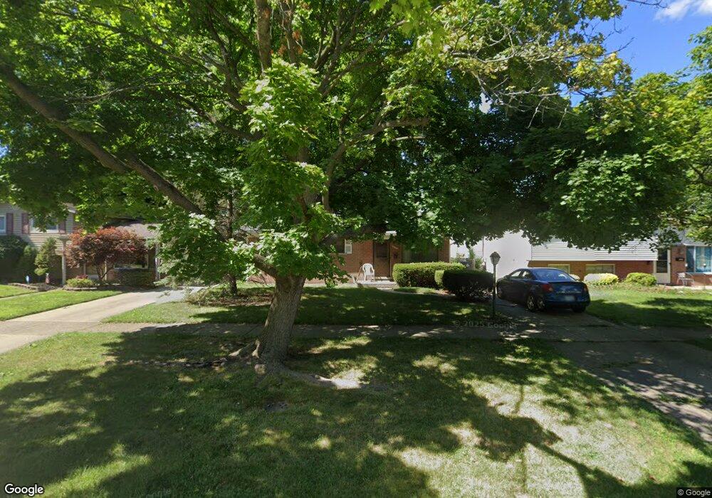
31202 Avondale St Westland, MI 48186
Estimated Value: $93,288 - $214,000
--
Bed
1
Bath
1,225
Sq Ft
$105/Sq Ft
Est. Value
About This Home
This home is located at 31202 Avondale St, Westland, MI 48186 and is currently estimated at $128,322, approximately $104 per square foot. 31202 Avondale St is a home located in Wayne County with nearby schools including Eugene B. Elliott Elementary School, Marshall Upper Elementary School, and John Glenn High School.
Ownership History
Date
Name
Owned For
Owner Type
Purchase Details
Closed on
Jul 1, 2025
Sold by
Glancy Joseph Michael and Glancy Ernest
Bought by
822 Springfield Dr Llc
Current Estimated Value
Purchase Details
Closed on
Sep 18, 2014
Sold by
Glancy Joseph Michael and The Ernest H Glancy & Anna M G
Bought by
Glancy Joseph Michael
Purchase Details
Closed on
Jun 28, 1999
Sold by
Glancy Anna M
Bought by
Re Ernest H Glancy Anna M Glancy
Create a Home Valuation Report for This Property
The Home Valuation Report is an in-depth analysis detailing your home's value as well as a comparison with similar homes in the area
Home Values in the Area
Average Home Value in this Area
Purchase History
| Date | Buyer | Sale Price | Title Company |
|---|---|---|---|
| 822 Springfield Dr Llc | $93,000 | Title One | |
| Glancy Joseph Michael | -- | None Available | |
| Re Ernest H Glancy Anna M Glancy | -- | -- |
Source: Public Records
Tax History Compared to Growth
Tax History
| Year | Tax Paid | Tax Assessment Tax Assessment Total Assessment is a certain percentage of the fair market value that is determined by local assessors to be the total taxable value of land and additions on the property. | Land | Improvement |
|---|---|---|---|---|
| 2025 | $1,925 | $86,100 | $0 | $0 |
| 2024 | $1,925 | $78,700 | $0 | $0 |
| 2023 | $1,839 | $71,900 | $0 | $0 |
| 2022 | $2,156 | $65,100 | $0 | $0 |
| 2021 | $2,104 | $60,700 | $0 | $0 |
| 2020 | $2,080 | $53,400 | $0 | $0 |
| 2019 | $1,968 | $48,900 | $0 | $0 |
| 2018 | $1,486 | $41,100 | $0 | $0 |
| 2017 | $732 | $39,900 | $0 | $0 |
| 2016 | $1,922 | $39,600 | $0 | $0 |
| 2015 | $3,678 | $36,780 | $0 | $0 |
| 2013 | $3,796 | $39,660 | $0 | $0 |
| 2012 | $1,785 | $38,370 | $0 | $0 |
Source: Public Records
Map
Nearby Homes
- 31203 Birchwood St
- 31053 Steinhauer St
- 30817 Birchwood Ave
- 31606 Fairchild St
- 30828 Parkwood St
- 30641 Hiveley St
- 30931 Fernwood St
- 30805 Parkwood St
- 31320 Fernwood St
- 32025 Birchwood St
- 30806 Fernwood St
- 30779 Middlebury St
- 724 Clair St
- 32111 Birchwood Ave
- 205 Shotka St
- 1351 Mar Ann Dr
- 30129 Glenwood St
- 1682 Beatrice St
- 30030 Glenwood St
- 32154 Melton St
- 31078 Avondale St
- 31218 Avondale St
- 31234 Avondale St
- 31068 Avondale St
- 31058 Avondale St
- 31091 Grandview Ave
- 31061 Grandview Ave
- 31207 Grandview Ave
- 31250 Avondale St Unit Bldg-Unit
- 31250 Avondale St
- 1007 Woodbourne St
- 31266 Avondale St
- 31231 Grandview Ave
- 31049 Grandview Ave
- 31179 Avondale St Unit Bldg-Unit
- 31261 Grandview Ave
- 31035 Grandview Ave
- 1019 Woodbourne St
- 31165 Avondale St
- 1006 Woodbourne St