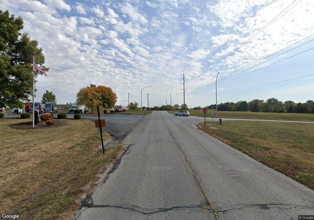
3121 B Hwy Liberty, MO 64068
Estimated Value: $284,222 - $371,000
3
Beds
2
Baths
1,358
Sq Ft
$236/Sq Ft
Est. Value
About This Home
This home is located at 3121 B Hwy, Liberty, MO 64068 and is currently estimated at $320,806, approximately $236 per square foot. 3121 B Hwy is a home located in Clay County with nearby schools including Franklin Elementary School, Heritage Middle School, and Liberty North High School.
Ownership History
Date
Name
Owned For
Owner Type
Purchase Details
Closed on
Mar 25, 1999
Sold by
Helm John A and Helm Kyna
Bought by
Snapp Kevin J and Snapp Tammy L
Current Estimated Value
Home Financials for this Owner
Home Financials are based on the most recent Mortgage that was taken out on this home.
Original Mortgage
$92,843
Outstanding Balance
$22,355
Interest Rate
6.69%
Mortgage Type
FHA
Estimated Equity
$298,451
Create a Home Valuation Report for This Property
The Home Valuation Report is an in-depth analysis detailing your home's value as well as a comparison with similar homes in the area
Home Values in the Area
Average Home Value in this Area
Purchase History
| Date | Buyer | Sale Price | Title Company |
|---|---|---|---|
| Snapp Kevin J | -- | Stewart Title |
Source: Public Records
Mortgage History
| Date | Status | Borrower | Loan Amount |
|---|---|---|---|
| Open | Snapp Kevin J | $92,843 |
Source: Public Records
Tax History Compared to Growth
Tax History
| Year | Tax Paid | Tax Assessment Tax Assessment Total Assessment is a certain percentage of the fair market value that is determined by local assessors to be the total taxable value of land and additions on the property. | Land | Improvement |
|---|---|---|---|---|
| 2025 | $2,237 | $31,790 | -- | -- |
| 2024 | $2,237 | $29,090 | -- | -- |
| 2023 | $2,275 | $29,090 | $0 | $0 |
| 2022 | $2,114 | $26,680 | $0 | $0 |
| 2021 | $2,097 | $26,676 | $4,693 | $21,983 |
| 2020 | $2,177 | $26,010 | $0 | $0 |
| 2019 | $2,177 | $26,011 | $4,693 | $21,318 |
| 2018 | $2,087 | $24,490 | $0 | $0 |
| 2017 | $2,068 | $24,490 | $4,690 | $19,800 |
| 2016 | $2,068 | $24,490 | $4,690 | $19,800 |
| 2015 | $2,068 | $24,490 | $4,690 | $19,800 |
| 2014 | $1,986 | $23,330 | $4,690 | $18,640 |
Source: Public Records
Map
Nearby Homes
- 2323 Dogwood St Unit 11
- 2322 Catalpa St Unit 91
- 16618 NE 113th St
- 10615 Lancaster Rd
- 13541 NE 114th Place
- 13545 NE 114th Place
- 13614 NE 114th Place
- 13610 NE 114th Place
- 11417 Rye Dr
- 13606 NE 114th Place
- 13616 NE 114th Place
- 13703 Clover Ct
- 11420 Rye Dr
- 13600 NE 114th Place
- 11421 Rye Dr
- 11423 Rye Dr
- 11425 Rye Dr
- 11410 Bluestem Dr
- 13616 Clover Ct
- 11429 Rye Dr
- 3121 County Road B
- 3105 County Road B
- 3105 B Hwy
- 3125 County Road B
- 3120 County Road B
- 3225 County Road B
- 3400 Chandler Rd
- 3510 County Road B
- 3520 County Road B
- 3520 B Hwy
- 10423 Ridgeview Ave
- 3550 Chandler Rd
- 3810 Chandler Rd
- 16804 NE 104th St
- 2235 Shepherd Rd
- 2307 Dogwood St Unit 19
- 10206 Ridgeview Ave
- 2309 Dogwood St Unit 18
- 2310 Dogwood St Unit 24
- 2315 Dogwood St Unit 15
