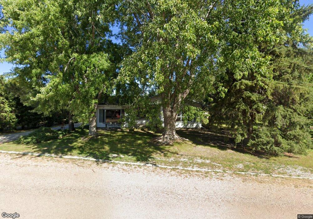
3121 Hasenauer Ct North Platte, NE 69101
Estimated Value: $240,751 - $360,000
3
Beds
2
Baths
1,893
Sq Ft
$156/Sq Ft
Est. Value
About This Home
This home is located at 3121 Hasenauer Ct, North Platte, NE 69101 and is currently estimated at $295,188, approximately $155 per square foot. 3121 Hasenauer Ct is a home located in Lincoln County with nearby schools including North Platte High School, Our Redeemer Lutheran School, and McDaid Elementary School.
Ownership History
Date
Name
Owned For
Owner Type
Purchase Details
Closed on
Sep 10, 2025
Sold by
Thiem Jennifer L
Bought by
Thiem Rachelle
Current Estimated Value
Home Financials for this Owner
Home Financials are based on the most recent Mortgage that was taken out on this home.
Original Mortgage
$158,082
Outstanding Balance
$158,082
Interest Rate
6.63%
Mortgage Type
Credit Line Revolving
Estimated Equity
$137,106
Purchase Details
Closed on
Jul 18, 2024
Sold by
Thiem Michael J
Bought by
Thiem Jennifer L
Create a Home Valuation Report for This Property
The Home Valuation Report is an in-depth analysis detailing your home's value as well as a comparison with similar homes in the area
Home Values in the Area
Average Home Value in this Area
Purchase History
| Date | Buyer | Sale Price | Title Company |
|---|---|---|---|
| Thiem Rachelle | $215,000 | Scott Abstract | |
| Thiem Jennifer L | -- | None Listed On Document |
Source: Public Records
Mortgage History
| Date | Status | Borrower | Loan Amount |
|---|---|---|---|
| Open | Thiem Rachelle | $158,082 |
Source: Public Records
Tax History Compared to Growth
Tax History
| Year | Tax Paid | Tax Assessment Tax Assessment Total Assessment is a certain percentage of the fair market value that is determined by local assessors to be the total taxable value of land and additions on the property. | Land | Improvement |
|---|---|---|---|---|
| 2024 | $2,669 | $193,559 | $30,207 | $163,352 |
| 2023 | $3,050 | $167,289 | $6,977 | $160,312 |
| 2022 | $2,898 | $149,984 | $6,256 | $143,728 |
| 2021 | $2,797 | $144,215 | $6,015 | $138,200 |
| 2020 | $2,838 | $144,215 | $6,015 | $138,200 |
| 2019 | $2,850 | $144,215 | $6,015 | $138,200 |
| 2018 | $2,851 | $144,215 | $6,015 | $138,200 |
| 2017 | $2,861 | $150,895 | $6,015 | $144,880 |
| 2016 | $2,842 | $140,755 | $6,015 | $134,740 |
| 2014 | $2,865 | $150,590 | $6,015 | $144,575 |
Source: Public Records
Map
Nearby Homes
- 3102 S Oak St
- 0 N Platte Fremont Slough Development Unit 11573268
- N Platte Unit NE 69101
- 2901 Goldenrod Ct
- 902-902 1 2 W 8th 710 N Jessie Ave Unit 902,902
- 200 College Dr
- 0 Unit Lot
- 0 N Buffalo Bill Grass
- 0 State Farm Road Short Acreage E
- 0 Buffalo Triangle Frontage
- 0 State Farm Road Short Acreage W
- N Platte Unit NE 69101
- 0 S Buffalo Bill Development
- 1501 W Leota St
- 221 Prairie Rd
- 2210 W Leota St
- 2421 W State Farm Rd
- 910 W Philip Ave
- 1401 S Buffalo Bill Ave
- 906 W Phillip St
- 3211 Hasenauer Ct
- 3101 Hasenauer Ct
- 3120 Hasenauer Ct
- 3202 Hasenauer Ct
- 3102 Hasenauer Ct
- 3212 Hasenauer Ct
- 921 W Walker Rd
- 3221 Hasenauer Ct
- 3220 Hasenauer Ct
- 1101 W Walker Rd
- 901 W Walker Rd
- 1010 W Walker Rd
- 1010 W Eugene Ave
- 910 W Walker Rd
- 3102 S Oak St Unit 3
- 3102 S Oak St Lot 10
- 3102 S Oak St Lot 3
- 1102 W Walker Rd
- 3302 Appaloosa Dr
- 1215 W Walker Rd Unit 1217