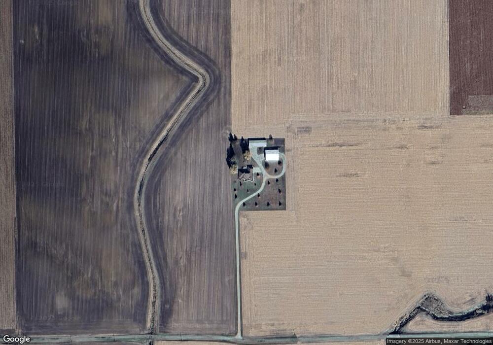
31214 Gils Rd Minier, IL 61759
Estimated Value: $302,000 - $570,879
4
Beds
3
Baths
3,139
Sq Ft
$147/Sq Ft
Est. Value
About This Home
This home is located at 31214 Gils Rd, Minier, IL 61759 and is currently estimated at $460,220, approximately $146 per square foot. 31214 Gils Rd is a home located in Tazewell County with nearby schools including Olympia High School.
Ownership History
Date
Name
Owned For
Owner Type
Purchase Details
Closed on
Dec 7, 2005
Sold by
E O Martin Land Co Inc
Bought by
Glueck Eugene M and Glueck Lisa E
Current Estimated Value
Home Financials for this Owner
Home Financials are based on the most recent Mortgage that was taken out on this home.
Original Mortgage
$95,000
Outstanding Balance
$52,869
Interest Rate
6.2%
Mortgage Type
New Conventional
Estimated Equity
$407,351
Create a Home Valuation Report for This Property
The Home Valuation Report is an in-depth analysis detailing your home's value as well as a comparison with similar homes in the area
Home Values in the Area
Average Home Value in this Area
Purchase History
| Date | Buyer | Sale Price | Title Company |
|---|---|---|---|
| Glueck Eugene M | $150,000 | -- |
Source: Public Records
Mortgage History
| Date | Status | Borrower | Loan Amount |
|---|---|---|---|
| Open | Glueck Eugene M | $95,000 |
Source: Public Records
Tax History Compared to Growth
Tax History
| Year | Tax Paid | Tax Assessment Tax Assessment Total Assessment is a certain percentage of the fair market value that is determined by local assessors to be the total taxable value of land and additions on the property. | Land | Improvement |
|---|---|---|---|---|
| 2024 | $11,241 | $162,660 | $5,650 | $157,010 |
| 2023 | $11,241 | $147,760 | $5,130 | $142,630 |
| 2022 | $10,252 | $134,280 | $4,660 | $129,620 |
| 2021 | $9,919 | $129,110 | $4,480 | $124,630 |
| 2020 | $9,778 | $129,110 | $4,480 | $124,630 |
| 2019 | $9,776 | $129,110 | $4,480 | $124,630 |
| 2018 | $9,767 | $129,110 | $4,480 | $124,630 |
| 2017 | $9,708 | $129,110 | $4,480 | $124,630 |
| 2016 | $9,607 | $129,110 | $4,480 | $124,630 |
| 2015 | $8,580 | $0 | $0 | $0 |
| 2013 | $3,217 | $129,110 | $4,480 | $124,630 |
Source: Public Records
Map
Nearby Homes
- 613 N School St
- 510 N Maple Ave
- 109 S Eastern Ave
- 314 S Maple Ave
- 0 Illinois 9
- 7 Tiffany Ct
- 614 Brendalyn Dr
- 212 S Monroe St
- 16 Wilshire Wood Dr
- 213 Tulip Dr
- 204 Tulip Dr
- 801 Heritage Dr
- 611 NE 2nd St
- 421 NE 3rd St
- 10 Summit Dr
- 719 Schilpp Ct
- 30748 Grandview Terrace
- 29724 Allentown Rd
- 407 W Boundary St
- 29875 White Oak Dr