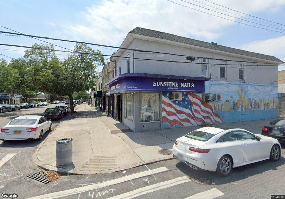
3123 Quentin Rd Brooklyn, NY 11234
Marine Park NeighborhoodEstimated Value: $837,846
Studio
--
Bath
2,480
Sq Ft
$338/Sq Ft
Est. Value
About This Home
This home is located at 3123 Quentin Rd, Brooklyn, NY 11234 and is currently estimated at $837,846, approximately $337 per square foot. 3123 Quentin Rd is a home located in Kings County with nearby schools including PS 222 Katherine R Snyder, J.H.S. 278 Marine Park, and James Madison High School.
Ownership History
Date
Name
Owned For
Owner Type
Purchase Details
Closed on
Oct 1, 2008
Sold by
D'Amato Francesco
Bought by
3123 Quentin Road Llc
Current Estimated Value
Purchase Details
Closed on
Jul 12, 1999
Sold by
Sheehan Edward J
Bought by
Damato John and Damato Francesco
Home Financials for this Owner
Home Financials are based on the most recent Mortgage that was taken out on this home.
Original Mortgage
$150,000
Interest Rate
7.9%
Mortgage Type
Seller Take Back
Create a Home Valuation Report for This Property
The Home Valuation Report is an in-depth analysis detailing your home's value as well as a comparison with similar homes in the area
Home Values in the Area
Average Home Value in this Area
Purchase History
| Date | Buyer | Sale Price | Title Company |
|---|---|---|---|
| 3123 Quentin Road Llc | -- | -- | |
| Damato John | $210,000 | Commonwealth Land Title Ins |
Source: Public Records
Mortgage History
| Date | Status | Borrower | Loan Amount |
|---|---|---|---|
| Previous Owner | Damato John | $150,000 |
Source: Public Records
Tax History
| Year | Tax Paid | Tax Assessment Tax Assessment Total Assessment is a certain percentage of the fair market value that is determined by local assessors to be the total taxable value of land and additions on the property. | Land | Improvement |
|---|---|---|---|---|
| 2025 | $7,204 | $61,200 | $15,300 | $45,900 |
| 2024 | $7,204 | $58,620 | $15,300 | $43,320 |
| 2023 | $6,873 | $60,000 | $15,300 | $44,700 |
| 2022 | $6,394 | $55,320 | $15,300 | $40,020 |
| 2021 | $7,029 | $48,540 | $15,300 | $33,240 |
| 2020 | $6,706 | $55,800 | $15,300 | $40,500 |
| 2019 | $6,253 | $50,460 | $15,300 | $35,160 |
| 2018 | $5,749 | $28,200 | $10,258 | $17,942 |
| 2017 | $5,749 | $28,200 | $10,995 | $17,205 |
| 2016 | $5,595 | $27,986 | $12,034 | $15,952 |
| 2015 | -- | $26,403 | $12,608 | $13,795 |
| 2014 | -- | $24,909 | $11,528 | $13,381 |
Source: Public Records
Map
Nearby Homes
- 1663 E 32nd St
- 3112 Quentin Rd
- 1627 E 32nd St
- 1736 E 33rd St
- 2991 Quentin Rd
- 1659 Madison Place
- 1743 E 33rd St
- 2952 Avenue P
- 1664 E 35th St
- 1664 Madison Place
- 1774 E 32nd St
- 1551 E 32nd St
- 1715 E 35th St
- 1638 E 36th St
- 2881 Nostrand Ave Unit 1C
- 1808 E 31st St
- 2922 Nostrand Ave Unit 6A
- 1523 E 33rd St
- 2988 Nostrand Ave
- 1719 E 36th St
- 3121 Quentin Rd
- 3119 Quentin Rd
- 3115 Quentin Rd
- 3111 Quentin Rd
- 3201 Quentin Rd
- 1672 E 32nd St
- 3109 Quentin Rd
- 3203 Quentin Rd
- 1670 E 32nd St
- 3107 Quentin Rd
- 3205 Quentin Rd
- 3120 Quentin Rd
- 3105 Quentin Rd
- 1664 E 32nd St Unit 2ND FL
- 1664 E 32nd St
- 1664 E 32
- 1664 E 32 Dn St
- 3209 Quentin Rd
- 3114 Quentin Rd
- 1671 E 32nd St
Your Personal Tour Guide
Ask me questions while you tour the home.