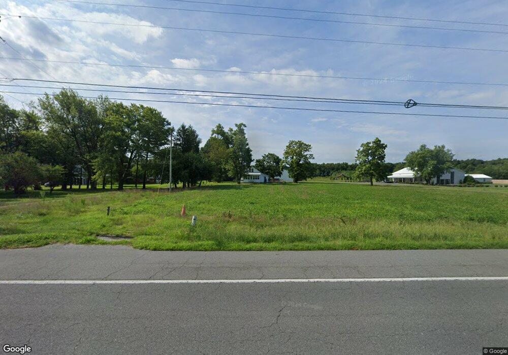
31239 and 31259 E Line Rd Delmar, MD 21875
North Salisbury NeighborhoodEstimated Value: $441,000 - $588,328
Studio
--
Bath
7,400
Sq Ft
$70/Sq Ft
Est. Value
About This Home
This home is located at 31239 and 31259 E Line Rd, Delmar, MD 21875 and is currently estimated at $516,582, approximately $69 per square foot. 31239 and 31259 E Line Rd is a home located in Wicomico County with nearby schools including Delmar Elementary School, Wicomico Middle School, and Wicomico High School.
Ownership History
Date
Name
Owned For
Owner Type
Purchase Details
Closed on
Oct 20, 2022
Sold by
Malone 1 Properties Llc
Bought by
Vento Philip A
Current Estimated Value
Purchase Details
Closed on
Jan 13, 2016
Sold by
Palumbo Kevin Louis
Bought by
Malone Grace E
Home Financials for this Owner
Home Financials are based on the most recent Mortgage that was taken out on this home.
Original Mortgage
$65,000
Interest Rate
3.97%
Mortgage Type
New Conventional
Purchase Details
Closed on
Jan 14, 2010
Sold by
Brunk James W
Bought by
Pote Robert L and Pote Cheryl A
Purchase Details
Closed on
Jun 27, 2002
Sold by
Griffin John E and Griffin Patricia M
Bought by
Brunk James W
Create a Home Valuation Report for This Property
The Home Valuation Report is an in-depth analysis detailing your home's value as well as a comparison with similar homes in the area
Home Values in the Area
Average Home Value in this Area
Purchase History
| Date | Buyer | Sale Price | Title Company |
|---|---|---|---|
| Vento Philip A | $484,000 | First American Title | |
| Malone Grace E | $75,000 | Attorney | |
| Pote Robert L | $278,000 | -- | |
| Brunk James W | $145,000 | -- |
Source: Public Records
Mortgage History
| Date | Status | Borrower | Loan Amount |
|---|---|---|---|
| Previous Owner | Malone Grace E | $65,000 | |
| Closed | Pote Robert L | -- |
Source: Public Records
Tax History
| Year | Tax Paid | Tax Assessment Tax Assessment Total Assessment is a certain percentage of the fair market value that is determined by local assessors to be the total taxable value of land and additions on the property. | Land | Improvement |
|---|---|---|---|---|
| 2025 | $4,151 | $447,700 | $86,600 | $361,100 |
| 2024 | $3,627 | $372,000 | $0 | $0 |
| 2023 | $2,989 | $296,300 | $0 | $0 |
| 2022 | $2,308 | $220,600 | $76,600 | $144,000 |
| 2021 | $1,613 | $151,867 | $0 | $0 |
| 2020 | $1,321 | $122,233 | $0 | $0 |
| 2019 | $969 | $92,600 | $56,900 | $35,700 |
| 2018 | $1,034 | $92,600 | $56,900 | $35,700 |
| 2017 | $1,332 | $92,600 | $0 | $0 |
| 2016 | -- | $119,600 | $0 | $0 |
| 2015 | $1,225 | $119,600 | $0 | $0 |
| 2014 | $1,225 | $119,600 | $0 | $0 |
Source: Public Records
Map
Nearby Homes
- 9385, 9414 Stable Ln
- 0 Melson Rd
- 38540 Winterberry Dr
- 11858 Yellowwood Dr
- 31597 E Line Rd
- Lot 8A Song Sparrow Cir
- Lot 9A Song Sparrow Cir
- 9490 Song Sparrow Cir
- Lot 7A Mourning Dove Way
- Lot 6A Mourning Dove Way
- 9509 Rum Ridge Rd
- 9518 Royal Tern Dr
- 11735 Buckingham Dr
- 38391 Elizabeth Ln
- 11765 Buckingham Dr
- 11493 Ross Ln
- 124 Buckingham Dr
- 133 Buckingham Dr
- 129 Buckingham Dr
- 0 Us 13 Unit 1001561450
- 31239 E Line Rd
- 31209 E Line Rd
- 31259 E Line Rd
- 31259 E Line Rd
- 31203 E Line Rd
- 31275 E Line Rd
- 31167 E Line Rd
- 31315 E Line Rd
- 31121 E Line Rd
- 12337 Line Rd
- 31365 E Line Rd
- 31093 E Line Rd
- 12567 Line Rd
- 38353 Robin Hood Rd
- 31091 E Line Rd
- 38390 Robin Hood Rd
- 38390 Robin Hood Rd
- 38327 Robin Hood Rd
- 38434 Robin Hood Rd
- 12585 Line Rd
Your Personal Tour Guide
Ask me questions while you tour the home.