3125 Rock Port Cir Unit 9 Norcross, GA 30092
Estimated Value: $481,000 - $580,000
3
Beds
4
Baths
2,110
Sq Ft
$249/Sq Ft
Est. Value
About This Home
This home is located at 3125 Rock Port Cir Unit 9, Norcross, GA 30092 and is currently estimated at $525,279, approximately $248 per square foot. 3125 Rock Port Cir Unit 9 is a home located in Gwinnett County with nearby schools including Norcross Elementary School, Summerour Middle School, and Norcross High School.
Ownership History
Date
Name
Owned For
Owner Type
Purchase Details
Closed on
Nov 18, 2010
Sold by
Peoples Bk & Trust
Bought by
Jaffe Robert D
Current Estimated Value
Home Financials for this Owner
Home Financials are based on the most recent Mortgage that was taken out on this home.
Original Mortgage
$150,000
Outstanding Balance
$98,614
Interest Rate
4.2%
Mortgage Type
New Conventional
Estimated Equity
$426,665
Purchase Details
Closed on
Mar 12, 2009
Sold by
Premier Residential Bldrs Llc
Bought by
Peoples Bk & Trust
Create a Home Valuation Report for This Property
The Home Valuation Report is an in-depth analysis detailing your home's value as well as a comparison with similar homes in the area
Home Values in the Area
Average Home Value in this Area
Purchase History
| Date | Buyer | Sale Price | Title Company |
|---|---|---|---|
| Jaffe Robert D | $215,000 | -- | |
| Peoples Bk & Trust | $128,000 | -- |
Source: Public Records
Mortgage History
| Date | Status | Borrower | Loan Amount |
|---|---|---|---|
| Open | Jaffe Robert D | $150,000 |
Source: Public Records
Tax History Compared to Growth
Tax History
| Year | Tax Paid | Tax Assessment Tax Assessment Total Assessment is a certain percentage of the fair market value that is determined by local assessors to be the total taxable value of land and additions on the property. | Land | Improvement |
|---|---|---|---|---|
| 2024 | $846 | $176,840 | $24,560 | $152,280 |
| 2023 | $846 | $191,360 | $24,560 | $166,800 |
| 2022 | $3,433 | $129,000 | $24,560 | $104,440 |
| 2021 | $4,545 | $129,000 | $24,560 | $104,440 |
| 2020 | $3,554 | $138,280 | $24,560 | $113,720 |
| 2019 | $3,814 | $116,000 | $18,000 | $98,000 |
| 2018 | $2,892 | $98,000 | $16,000 | $82,000 |
| 2016 | $2,893 | $98,000 | $16,000 | $82,000 |
| 2015 | $3,390 | $90,360 | $16,000 | $74,360 |
| 2014 | $2,792 | $91,000 | $16,000 | $75,000 |
Source: Public Records
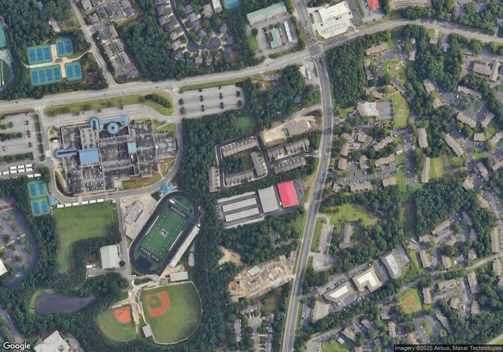
Map
Nearby Homes
- 3179 Rock Port Cir
- 5211 Montine Way
- 5196 Medlock Corners Dr
- 5277 Spalding Dr Unit 2
- 5265 Spalding Bridge Ct
- 5297 Spalding Mill Place
- 3225 Claudia Place
- 3239 Claudia Ct
- 3204 Claudia Place
- 3725 Highcroft Cir
- 3680 Highcroft Cir
- 3272 Monarch Pine Dr
- 3262 Monarch Pine Dr
- 3460 Lockmed Dr
- 5400 Fontenoy Ct Unit 2
- 4906 Berkeley Oak Cir
- 4913 Berkeley Oak Cir
- 3125 Rock Port Cir
- 3127 Rock Port Cir
- 3127 Rock Port Cir Unit 10
- 3189 Rock Port Cir Unit 37
- 3189 Rock Port Cir
- 3129 Rock Port Cir
- 3129 Rock Port Cir Unit 11
- 3129 Rock Port Cir Unit 3129
- 3187 Rock Port Cir Unit 36
- 3187 Rock Port Cir
- 3131 Rock Port Cir
- 3131 Rock Port Cir Unit 12
- 3185 Rock Port Cir Unit 35
- 3185 Rock Port Cir
- 3183 Rock Port Cir Unit lot 34
- 3183 Rock Port Cir
- 3183 Rock Port Cir Unit 3183
- 3133 Rock Port Cir
- 3133 Rock Port Cir Unit 13
- 3181 Rock Port Cir Unit 33