3125 Woodside Dr Ardmore, OK 73401
Estimated Value: $215,000 - $240,000
3
Beds
2
Baths
1,559
Sq Ft
$144/Sq Ft
Est. Value
About This Home
This home is located at 3125 Woodside Dr, Ardmore, OK 73401 and is currently estimated at $223,753, approximately $143 per square foot. 3125 Woodside Dr is a home located in Carter County with nearby schools including Dickson Elementary School, Dickson Upper Elementary School, and Dickson Middle School.
Ownership History
Date
Name
Owned For
Owner Type
Purchase Details
Closed on
Oct 5, 2012
Sold by
Faught Kenneth
Bought by
Mcclure Thomas Edward and Mcclure Mary Kay
Current Estimated Value
Home Financials for this Owner
Home Financials are based on the most recent Mortgage that was taken out on this home.
Original Mortgage
$81,270
Outstanding Balance
$56,141
Interest Rate
3.61%
Mortgage Type
Unknown
Estimated Equity
$167,612
Purchase Details
Closed on
Mar 30, 1998
Sold by
Ross Clyde H
Bought by
Faught Kenneth and Faught Delor
Create a Home Valuation Report for This Property
The Home Valuation Report is an in-depth analysis detailing your home's value as well as a comparison with similar homes in the area
Home Values in the Area
Average Home Value in this Area
Purchase History
| Date | Buyer | Sale Price | Title Company |
|---|---|---|---|
| Mcclure Thomas Edward | $80,000 | None Available | |
| Faught Kenneth | $76,500 | -- |
Source: Public Records
Mortgage History
| Date | Status | Borrower | Loan Amount |
|---|---|---|---|
| Open | Mcclure Thomas Edward | $81,270 |
Source: Public Records
Tax History Compared to Growth
Tax History
| Year | Tax Paid | Tax Assessment Tax Assessment Total Assessment is a certain percentage of the fair market value that is determined by local assessors to be the total taxable value of land and additions on the property. | Land | Improvement |
|---|---|---|---|---|
| 2024 | $1,768 | $16,419 | $969 | $15,450 |
| 2023 | $1,677 | $15,637 | $930 | $14,707 |
| 2022 | $1,472 | $14,892 | $891 | $14,001 |
| 2021 | $1,438 | $14,183 | $2,501 | $11,682 |
| 2020 | $1,349 | $13,508 | $2,335 | $11,173 |
| 2019 | $1,244 | $12,865 | $2,408 | $10,457 |
| 2018 | $1,199 | $12,252 | $2,040 | $10,212 |
| 2017 | $1,163 | $11,668 | $1,933 | $9,735 |
| 2016 | $1,095 | $11,113 | $1,937 | $9,176 |
| 2015 | $1,054 | $10,584 | $891 | $9,693 |
| 2014 | $942 | $10,080 | $891 | $9,189 |
Source: Public Records
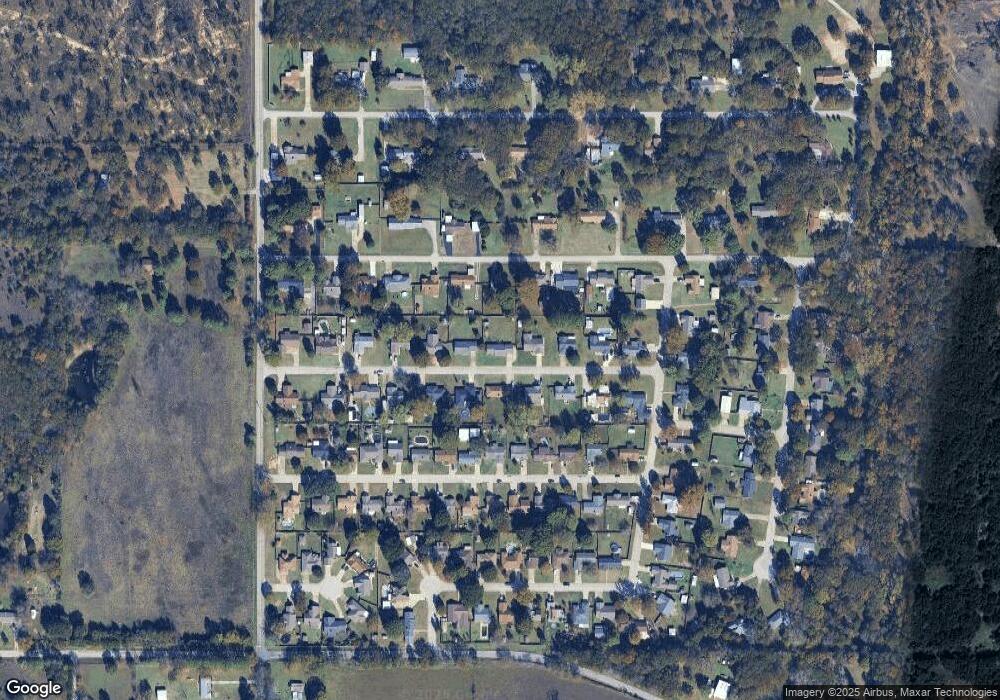
Map
Nearby Homes
- 3133 Cardinal Dr
- 402 Beaumont Dr
- 60 Town And Country Cir
- 4042 3rd Ave NE
- 2370 Mary Niblack Rd
- 0 Sam Noble Pkwy Unit 2523300
- 2430 3rd Ave NE
- 2420 3rd Ave NE
- 8726 State Highway 199
- 8596 State Highway 199
- 8590 State Highway 199
- 2226 Springdale Rd
- 810 Gene Autry Rd
- 1220 Freedom
- 2106 Oakglen Dr
- 511 2nd St
- 1915 Springdale Rd
- 1803 2nd Ave NE
- 0 Hwy 177 Unit 2502315
- 0 Hwy 177 Unit 2546627
- 3121 Woodside Dr
- 45 Town And Country Cir
- 47 Town And Country Cir
- 43 Town And Country Cir
- 3124 Woodside Dr
- 3117 Woodside Dr
- 3133 Woodside Dr
- 3120 Woodside Dr
- 3128 Woodside Dr
- 3132 Woodside Dr
- 3113 Woodside Dr
- 3137 Cardinal Dr
- 51 Town And Country Cir
- 39 Town And Country Cir
- 3141 Cardinal Dr
- 3136 Woodside Dr
- 3112 Woodside Dr
- 3125 Cardinal Dr
- 48 Town And Country Cir